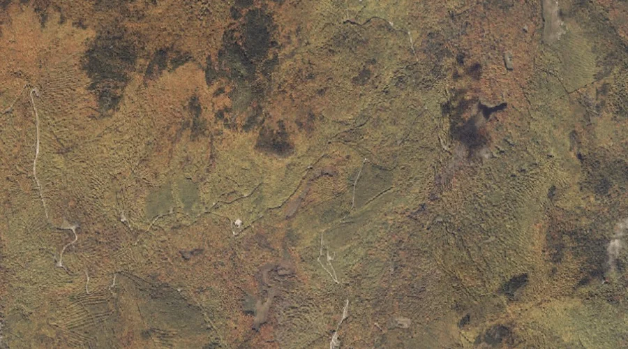
 Aerial imagery: USGS National Map (public domain)
Coon Hollow — Valleys 8.9 Miles NNE of Chapman Inn
Oxford County, Maine · USGS East Andover Quadrangle · GNIS 564339
8.9 miles north-northeast of Chapman Inn, on the USGS East Andover topographic quadrangle, Coon Hollow is a valley recorded in Oxford County, Maine by the federal Geographic Names Information System.
Landmark Profile
Classification & USGS reference
The USGS East Andover 7.5-minute topographic quadrangle places Coon Hollow in Oxford County, Maine (FIPS 23/017), classified as a valley in the federal GNIS (Feature ID 564339). Last revised by the Board on Geographic Names on 03/07/2017.
Coordinates & physical setting
Coon Hollow sits at 44.52662° N, 70.72957° W (DMS 44°31′36″ N, 70°43′46″ W).
Other valleys in Oxford County, Maine
Oxford County, ME contains 6 valleys catalogued in the USGS Geographic Names Information System, counting Coon Hollow itself. The ones closest to Coon Hollow:
| Feature | USGS Quadrangle | Distance |
|---|---|---|
| Screw Auger Falls Gorge | Old Speck Mountain | 8.8 mi |
| Mother Walker Falls Gorge | Old Speck Mountain | 9.4 mi |
| Moose Cave Gorge | Old Speck Mountain | 10.7 mi |
| Snow Falls Gorge | West Paris | 18.2 mi |
| Kezar Falls Gorge | North Waterford | 23.4 mi |
Features on the USGS East Andover Quadrangle
The East Andover 7.5-minute topographic quadrangle holds 16 catalogued natural features alongside Coon Hollow. A sampling nearest to this location:
| Feature | Type | County | Offset |
|---|---|---|---|
| Meadow Brook | Streams | Oxford County, ME | 1.4 mi |
| Howard Pond | Lakes | Oxford County, ME | 1.5 mi |
| Mount Dimmock | Summits | Oxford County, ME | 1.5 mi |
| Davis Pond | Lakes | Oxford County, ME | 2.4 mi |
| Howe Brook | Streams | Oxford County, ME | 2.7 mi |
| Coburn Brook | Streams | Oxford County, ME | 2.7 mi |
| Meadow Brook | Streams | Oxford County, ME | 2.8 mi |
| Gardner Brook | Streams | Oxford County, ME | 3.9 mi |
| Farmers Hill | Summits | Oxford County, ME | 4.4 mi |
| Whitecap Mountain | Summits | Oxford County, ME | 4.6 mi |
Visiting from Chapman Inn
Distance, bearing & drive time
Chapman Inn sits 8.9 miles north-northeast (bearing NNE) of Coon Hollow. At moderate back-road speeds the drive runs about 15 minutes — comfortably inside a half-day outing window after breakfast.
Best time to visit
Late May through October; avoid black-fly peak in late May. At this latitude (44.527°), the shoulder seasons are workable — April and November can be comfortable on mild years. The 8.9-mile drive from Chapman Inn makes it practical for a half-day outing — you can check conditions in the morning and still turn back if the weather closes in. Conditions at Coon Hollow track the nearby Meadow Brook stream (1.4 mi away) closely — if that is runnable, so is this.
Nearest features to Coon Hollow
| Feature | Type | County | Distance |
|---|---|---|---|
| Meadow Brook | Streams | Oxford County, ME | 1.4 mi |
| Howard Pond | Lakes | Oxford County, ME | 1.5 mi |
| Plumbago Mountain | Summits | Oxford County, ME | 1.5 mi |
| Mount Dimmock | Summits | Oxford County, ME | 1.5 mi |
| Howard Mountain | Summits | Oxford County, ME | 1.9 mi |
Frequently Asked Questions
Where is Coon Hollow located?
Coon Hollow is in Oxford County, Maine, approximately 8.9 miles north-northeast of Chapman Inn in Bethel, Maine. It appears on the USGS East Andover topographic quadrangle.
How far is Coon Hollow from Chapman Inn?
The drive runs about 15 minutes, 8.9 miles north-northeast (bearing NNE) of the Inn.
What type of natural feature is Coon Hollow?
The U.S. Geological Survey classifies Coon Hollow as a valley, catalogued under GNIS Feature ID 564339 on the East Andover quadrangle.
When is the best time to visit Coon Hollow?
Late May through October; avoid black-fly peak in late May.
How many other valleys are in Oxford County, Maine?
GNIS lists 5 other valleys in Oxford County, Maine.