 Aerial imagery: USGS National Map (public domain)
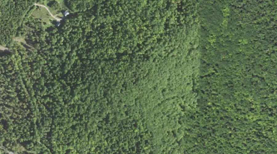
Youngs Hill — Summits 39.8 Miles SSW of Chapman Inn
Carroll County, New Hampshire · USGS Freedom Quadrangle · GNIS 871022
Within Carroll County, New Hampshire, on the USGS Freedom quadrangle, the summit known as Youngs Hill sits 39.8 miles south-southwest of Chapman Inn.
Wikidata short description: “mountain in United States of America”
Landmark Profile
Classification & USGS reference
Within Carroll County, New Hampshire, the U.S. Geological Survey lists Youngs Hill as a summit on the Freedom topographic quadrangle (FIPS 33/003), under Feature ID 871022. Last revised by the Board on Geographic Names on 08/30/2022.
Coordinates & physical setting
Youngs Hill sits at 43.85597° N, 71.03508° W (DMS 43°51′22″ N, 71°02′06″ W).
Other summits in Carroll County, New Hampshire
Carroll County, NH contains 127 summits catalogued in the USGS Geographic Names Information System, counting Youngs Hill itself. The ones closest to Youngs Hill:
| Feature | USGS Quadrangle | Elevation | Distance |
|---|---|---|---|
| Cragged Mountain | Freedom | — | 1.5 mi |
| Watson Hill | Freedom | — | 1.6 mi |
| Durgin Hill | Freedom | — | 1.9 mi |
| Toll Hill | Freedom | — | 2 mi |
| Manson Hill | Conway | — | 2.4 mi |
| Kent Hill | Conway | — | 2.5 mi |
| Stewart Hill | Conway | — | 2.7 mi |
| Prospect Mountain | Freedom | — | 3 mi |
| Blazo Mountain | Freedom | — | 4 mi |
| Goe Hill | Freedom | — | 4.3 mi |
Features on the USGS Freedom Quadrangle
The Freedom 7.5-minute topographic quadrangle holds 43 catalogued natural features alongside Youngs Hill. A sampling nearest to this location:
| Feature | Type | County | Offset |
|---|---|---|---|
| Cragged Mountain | Summits | Carroll County, NH | 1.5 mi |
| Nason Brook | Streams | Carroll County, NH | 1.6 mi |
| Watson Hill | Summits | Carroll County, NH | 1.6 mi |
| Durgin Hill | Summits | Carroll County, NH | 1.9 mi |
| Toll Hill | Summits | Carroll County, NH | 2 mi |
| Moulton Brook | Streams | Carroll County, NH | 2.4 mi |
| Purity Lake | Reservoirs | Carroll County, NH | 2.7 mi |
| Ferrin Brook | Streams | Carroll County, NH | 2.8 mi |
| Prospect Mountain | Summits | Carroll County, NH | 3 mi |
| Blaisdell Brook | Streams | Carroll County, NH | 3.1 mi |
Visiting from Chapman Inn
Distance, bearing & drive time
Follow the compass bearing SSW out of Bethel for 39.8 miles (south-southwest) and you reach Youngs Hill; at typical rural speeds the trip runs roughly 68 minutes.
Best time to visit
Accessible May through November in most years. At this latitude (43.856°), the shoulder seasons are workable — April and November can be comfortable on mild years. At 39.8 miles from the Inn, block the full day — sunrise start, late return, packed meals. Conditions at Youngs Hill track the nearby Foss Mountain ridge (1.5 mi away) closely — if that is runnable, so is this.
Nearest features to Youngs Hill
| Feature | Type | County | Distance |
|---|---|---|---|
| Foss Mountain | Ridges | Carroll County, NH | 1.5 mi |
| Cragged Mountain | Summits | Carroll County, NH | 1.5 mi |
| Nason Brook | Streams | Carroll County, NH | 1.6 mi |
| Watson Hill | Summits | Carroll County, NH | 1.6 mi |
| Durgin Hill | Summits | Carroll County, NH | 1.9 mi |
Frequently Asked Questions
Where is Youngs Hill located?
Youngs Hill is in Carroll County, New Hampshire, approximately 39.8 miles south-southwest of Chapman Inn in Bethel, Maine. It appears on the USGS Freedom topographic quadrangle.
How far is Youngs Hill from Chapman Inn?
The drive runs about 68 minutes, 39.8 miles south-southwest (bearing SSW) of the Inn.
What type of natural feature is Youngs Hill?
The U.S. Geological Survey classifies Youngs Hill as a summit, catalogued under GNIS Feature ID 871022 on the Freedom quadrangle.
When is the best time to visit Youngs Hill?
Accessible May through November in most years.
How many other summits are in Carroll County, New Hampshire?
GNIS lists 126 other summits in Carroll County, New Hampshire.
Wikidata: Q34822409.