 Aerial imagery: USGS National Map (public domain)
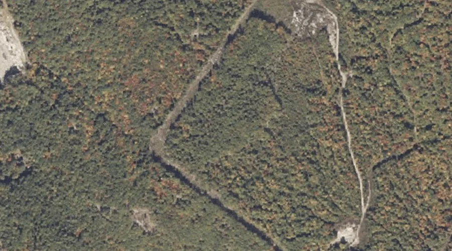
Rock-O-Dundee Hill — Summits 23.9 Miles SE of Chapman Inn
Oxford County, Maine · USGS Oxford Quadrangle · GNIS 574353
23.9 miles southeast of Chapman Inn, on the USGS Oxford topographic quadrangle, Rock-O-Dundee Hill is a summit recorded in Oxford County, Maine by the federal Geographic Names Information System.
Wikidata short description: “mountain in United States of America”
Landmark Profile
Classification & USGS reference
The USGS Oxford 7.5-minute topographic quadrangle places Rock-O-Dundee Hill in Oxford County, Maine (FIPS 23/017), classified as a summit in the federal GNIS (Feature ID 574353). Last revised by the Board on Geographic Names on 07/23/2022.
Coordinates & physical setting
Rock-O-Dundee Hill sits at 44.15331° N, 70.45824° W (DMS 44°09′12″ N, 70°27′30″ W).
Other summits in Oxford County, Maine
Oxford County, ME contains 438 summits catalogued in the USGS Geographic Names Information System, counting Rock-O-Dundee Hill itself. The ones closest to Rock-O-Dundee Hill:
| Feature | USGS Quadrangle | Elevation | Distance |
|---|---|---|---|
| Sam Rowe Hill | Oxford | — | 0.8 mi |
| Robinson Hill | Oxford | — | 1.3 mi |
| Jam Hill | Oxford | — | 1.5 mi |
| Thomas Hill | Oxford | — | 2 mi |
| Whitney Hill | Oxford | — | 2.5 mi |
| Allen Hill | Norway | — | 2.8 mi |
| Lovejoy Hill | Norway | — | 3.4 mi |
| Greeley Hill | Casco | — | 3.9 mi |
| Tiger Hill | Mechanic Falls | — | 4.1 mi |
| Canada Hill | Casco | — | 4.2 mi |
Features on the USGS Oxford Quadrangle
The Oxford 7.5-minute topographic quadrangle holds 34 catalogued natural features alongside Rock-O-Dundee Hill. A sampling nearest to this location:
| Feature | Type | County | Offset |
|---|---|---|---|
| Willow Brook | Streams | Oxford County, ME | 0.6 mi |
| Sam Rowe Hill | Summits | Oxford County, ME | 0.8 mi |
| Robinson Hill | Summits | Oxford County, ME | 1.3 mi |
| Meadow Brook | Streams | Oxford County, ME | 1.4 mi |
| Barnett Pond | Lakes | Oxford County, ME | 1.4 mi |
| Little Androscoggin River Reservoir | Reservoirs | Oxford County, ME | 1.4 mi |
| Jam Hill | Summits | Oxford County, ME | 1.5 mi |
| Minister Brook | Streams | Oxford County, ME | 1.7 mi |
| Thomas Hill | Summits | Oxford County, ME | 2 mi |
| Whitney Hill | Summits | Oxford County, ME | 2.5 mi |
Visiting from Chapman Inn
Distance, bearing & drive time
Chapman Inn sits 23.9 miles southeast (bearing SE) of Rock-O-Dundee Hill. At moderate back-road speeds the drive runs about 41 minutes — comfortably inside a half-day outing window after breakfast.
Best time to visit
Accessible May through November in most years. At this latitude (44.153°), the shoulder seasons are workable — April and November can be comfortable on mild years. At 23.9 miles from the Inn, plan on a comfortable day trip with time for lunch on the road. Conditions at Rock-O-Dundee Hill track the nearby Willow Brook stream (0.6 mi away) closely — if that is runnable, so is this.
Nearest features to Rock-O-Dundee Hill
| Feature | Type | County | Distance |
|---|---|---|---|
| Willow Brook | Streams | Oxford County, ME | 0.6 mi |
| Sam Rowe Hill | Summits | Oxford County, ME | 0.8 mi |
| Robinson Hill | Summits | Oxford County, ME | 1.3 mi |
| Meadow Brook | Streams | Oxford County, ME | 1.4 mi |
| Barnett Pond | Lakes | Oxford County, ME | 1.4 mi |
Frequently Asked Questions
Where is Rock-O-Dundee Hill located?
Rock-O-Dundee Hill is in Oxford County, Maine, approximately 23.9 miles southeast of Chapman Inn in Bethel, Maine. It appears on the USGS Oxford topographic quadrangle.
How far is Rock-O-Dundee Hill from Chapman Inn?
The drive runs about 41 minutes, 23.9 miles southeast (bearing SE) of the Inn.
What type of natural feature is Rock-O-Dundee Hill?
The U.S. Geological Survey classifies Rock-O-Dundee Hill as a summit, catalogued under GNIS Feature ID 574353 on the Oxford quadrangle.
When is the best time to visit Rock-O-Dundee Hill?
Accessible May through November in most years.
How many other summits are in Oxford County, Maine?
GNIS lists 437 other summits in Oxford County, Maine.
Wikidata: Q33145753.