 Aerial imagery: USGS National Map (public domain)
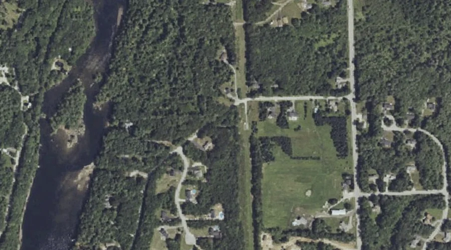
Rollins Hill — Summits 44.3 Miles SSE of Chapman Inn
Cumberland County, Maine · USGS North Windham Quadrangle · GNIS 1912963
Catalogued on the USGS North Windham quadrangle in Cumberland County, Maine, Rollins Hill — a summit — lies 44.3 miles south-southeast of Chapman Inn.
Landmark Profile
Classification & USGS reference
Catalogued under GNIS Feature ID 1912963, Rollins Hill is recorded as a summit on the USGS North Windham quadrangle in Cumberland County, Maine (FIPS 23/005). Last revised by the Board on Geographic Names on 07/16/2022.
Coordinates & physical setting
Rollins Hill sits at 43.81360° N, 70.44505° W (DMS 43°48′49″ N, 70°26′42″ W).
Other summits in Cumberland County, Maine
Cumberland County, ME contains 108 summits catalogued in the USGS Geographic Names Information System, counting Rollins Hill itself. The ones closest to Rollins Hill:
| Feature | USGS Quadrangle | Elevation | Distance |
|---|---|---|---|
| Windham Hill | North Windham | — | 1.4 mi |
| Whites Hill | North Windham | — | 1.8 mi |
| Woodbury Hill | North Windham | — | 2.5 mi |
| Freeman Hill | North Windham | — | 2.8 mi |
| Allie Hawks Hill | North Windham | — | 2.9 mi |
| Nash Hill | North Windham | — | 3 mi |
| Baker Mountain | North Windham | — | 3.4 mi |
| Reed Hill | North Windham | — | 3.5 mi |
| Kimball Hill | North Windham | — | 3.8 mi |
| Timmons Hill | North Windham | — | 4.1 mi |
Features on the USGS North Windham Quadrangle
The North Windham 7.5-minute topographic quadrangle holds 58 catalogued natural features alongside Rollins Hill. A sampling nearest to this location:
| Feature | Type | County | Offset |
|---|---|---|---|
| Gillman Island | Islands | Cumberland County, ME | 0.2 mi |
| Eel Weir Canal | Reservoirs | Cumberland County, ME | 0.4 mi |
| Eel Weir Canal | Other Natural Features | Cumberland County, ME | 0.7 mi |
| Otter Brook | Streams | Cumberland County, ME | 1 mi |
| Windham Hill | Summits | Cumberland County, ME | 1.4 mi |
| Lindsay Island | Islands | Cumberland County, ME | 1.5 mi |
| Sebago Lake Basin | Reservoirs | Cumberland County, ME | 1.5 mi |
| Collins Pond | Lakes | Cumberland County, ME | 1.6 mi |
| Whites Hill | Summits | Cumberland County, ME | 1.8 mi |
| Ditch Brook | Streams | Cumberland County, ME | 1.8 mi |
Visiting from Chapman Inn
Distance, bearing & drive time
A 76-minute drive along back roads separates the front door of Chapman Inn from Rollins Hill — 44.3 miles south-southeast as the crow flies, on compass bearing SSE.
Best time to visit
Accessible May through November in most years. At this latitude (43.814°), the shoulder seasons are workable — April and November can be comfortable on mild years. At 44.3 miles from the Inn, block the full day — sunrise start, late return, packed meals. Conditions at Rollins Hill track the nearby Gillman Island (0.2 mi away) closely — if that is runnable, so is this.
Nearest features to Rollins Hill
| Feature | Type | County | Distance |
|---|---|---|---|
| Gillman Island | Islands | Cumberland County, ME | 0.2 mi |
| Eel Weir Canal | Reservoirs | Cumberland County, ME | 0.4 mi |
| Eel Weir Canal | Other Natural Features | Cumberland County, ME | 0.7 mi |
| Otter Brook | Streams | Cumberland County, ME | 1 mi |
| Windham Hill | Summits | Cumberland County, ME | 1.4 mi |
Frequently Asked Questions
Where is Rollins Hill located?
Rollins Hill is in Cumberland County, Maine, approximately 44.3 miles south-southeast of Chapman Inn in Bethel, Maine. It appears on the USGS North Windham topographic quadrangle.
How far is Rollins Hill from Chapman Inn?
The drive runs about 76 minutes, 44.3 miles south-southeast (bearing SSE) of the Inn.
What type of natural feature is Rollins Hill?
The U.S. Geological Survey classifies Rollins Hill as a summit, catalogued under GNIS Feature ID 1912963 on the North Windham quadrangle.
When is the best time to visit Rollins Hill?
Accessible May through November in most years.
How many other summits are in Cumberland County, Maine?
GNIS lists 107 other summits in Cumberland County, Maine.