 Aerial imagery: USGS National Map (public domain)
Mount Kelsey — Summits 37.6 Miles NW of Chapman Inn
Coos County, New Hampshire · USGS Dixville Notch Quadrangle · GNIS 867835
At 3,472 feet of elevation, Mount Kelsey rises above Coos County, New Hampshire as a named summit on the USGS Dixville Notch topographic quadrangle — about 37.6 miles northwest of Chapman Inn in Bethel, Maine.
Wikidata short description: “mountain in New Hampshire, USA”
Landmark Profile
Classification & USGS reference
Catalogued under GNIS Feature ID 867835, Mount Kelsey is recorded as a summit on the USGS Dixville Notch quadrangle in Coos County, New Hampshire (FIPS 33/007). Last revised by the Board on Geographic Names on 08/31/2022.
Coordinates & physical setting
Mount Kelsey sits at 44.80115° N, 71.31369° W (DMS 44°48′04″ N, 71°18′49″ W).
Dimensions & elevation
- Summit elevation 3,472 ft / 1,058 m — a challenging elevation for day hikes.
Other summits in Coos County, New Hampshire
Coos County, NH contains 226 summits catalogued in the USGS Geographic Names Information System, counting Mount Kelsey itself. The ones closest to Mount Kelsey:
| Feature | USGS Quadrangle | Elevation | Distance |
|---|---|---|---|
| Owlhead Mountain | Dixville Notch | — | 1.6 mi |
| Dixville Peak | Dixville Notch | — | 2.4 mi |
| Muise Mountain | Bunnell Mountain | — | 3.3 mi |
| Baldhead Mountain | Dixville Notch | — | 3.5 mi |
| Mount Patience | Dummer Ponds | — | 4.8 mi |
| Rice Mountain | Errol | — | 5 mi |
| Signal Mountain | Errol | — | 5 mi |
| Abeniki Mountain | Diamond Pond | 2,694 ft | 5.3 mi |
| Cilley Hill | Bunnell Mountain | — | 6.1 mi |
| Sanguinary Mountain | Diamond Pond | — | 6.1 mi |
Features on the USGS Dixville Notch Quadrangle
The Dixville Notch 7.5-minute topographic quadrangle holds 31 catalogued natural features alongside Mount Kelsey. A sampling nearest to this location:
| Feature | Type | County | Offset |
|---|---|---|---|
| Kelly Brook | Streams | Coos County, NH | 1.6 mi |
| Owlhead Mountain | Summits | Coos County, NH | 1.6 mi |
| Rocky Brook | Streams | Coos County, NH | 1.6 mi |
| Wells Brook | Streams | Coos County, NH | 1.6 mi |
| Annis Brook | Streams | Coos County, NH | 1.7 mi |
| Hedgehog Brook | Streams | Coos County, NH | 1.7 mi |
| Watkinson Brook | Streams | Coos County, NH | 1.9 mi |
| Nelson Brook | Streams | Coos County, NH | 2.2 mi |
| Kelsey Notch | Gaps | Coos County, NH | 2.2 mi |
| Number Three Brook | Streams | Coos County, NH | 2.4 mi |
Ranking & rarity
- Mount Kelsey is #15 of 19 summits with recorded elevation in Coos County, New Hampshire.
- Among the 1280 summits catalogued within 80 km of Chapman Inn, Mount Kelsey ranks #877 by proximity to the Inn (closer than 31%).
Historical record
Also known as: Mt. Kelsey.
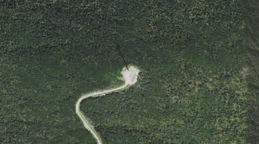
Mount Kelsey is a mountain located in the western portion of Millsfield, New Hampshire. The western slopes of the mountain are contained within the township of Erving's Location, New Hampshire. The summit is occupied by part of the Granite Reliable Wind Farm, with road access from the Phillips Brook watershed to the south. Open the Wikipedia article →
Visiting from Chapman Inn
Distance, bearing & drive time
A 65-minute drive along back roads separates the front door of Chapman Inn from Mount Kelsey — 37.6 miles northwest as the crow flies, on compass bearing NW.
Best time to visit
Late June through early October, when the summit is reliably snow-free. Being this far north (lat 44.801°), first snows typically arrive by mid-October and linger into early May — narrow the window accordingly. At 37.6 miles from the Inn, block the full day — sunrise start, late return, packed meals. Conditions at Mount Kelsey track the nearby Kelly Brook stream (1.6 mi away) closely — if that is runnable, so is this.
Nearest features to Mount Kelsey
| Feature | Type | County | Distance |
|---|---|---|---|
| Kelly Brook | Streams | Coos County, NH | 1.6 mi |
| Owlhead Mountain | Summits | Coos County, NH | 1.6 mi |
| Rocky Brook | Streams | Coos County, NH | 1.6 mi |
| Wells Brook | Streams | Coos County, NH | 1.6 mi |
| Annis Brook | Streams | Coos County, NH | 1.7 mi |
Frequently Asked Questions
Where is Mount Kelsey located?
Mount Kelsey is in Coos County, New Hampshire, approximately 37.6 miles northwest of Chapman Inn in Bethel, Maine. It appears on the USGS Dixville Notch topographic quadrangle.
How far is Mount Kelsey from Chapman Inn?
The drive runs about 65 minutes, 37.6 miles northwest (bearing NW) of the Inn.
What type of natural feature is Mount Kelsey?
The U.S. Geological Survey classifies Mount Kelsey as a summit, catalogued under GNIS Feature ID 867835 on the Dixville Notch quadrangle.
When is the best time to visit Mount Kelsey?
Late June through early October, when the summit is reliably snow-free.
How tall is Mount Kelsey?
Mount Kelsey rises to 3,472 feet (1,058 metres) above sea level.
What other names has Mount Kelsey been known by?
Alternate or historical names on record: Mt. Kelsey.
How many other summits are in Coos County, New Hampshire?
GNIS lists 225 other summits in Coos County, New Hampshire.
Wikidata: Q6921624.