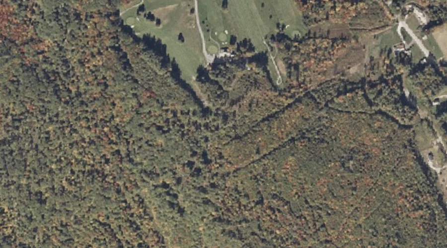
 Aerial imagery: USGS National Map (public domain)
Hathaway Hill — Summits 16.3 Miles SE of Chapman Inn
Oxford County, Maine · USGS Norway Quadrangle · GNIS 567761
Within Oxford County, Maine, on the USGS Norway quadrangle, the summit known as Hathaway Hill sits 16.3 miles southeast of Chapman Inn.
Wikidata short description: “mountain in United States of America”
Landmark Profile
Classification & USGS reference
Within Oxford County, Maine, the U.S. Geological Survey lists Hathaway Hill as a summit on the Norway topographic quadrangle (FIPS 23/017), under Feature ID 567761. Last revised by the Board on Geographic Names on 07/16/2022.
Coordinates & physical setting
Hathaway Hill sits at 44.21287° N, 70.59593° W (DMS 44°12′46″ N, 70°35′45″ W).
Other summits in Oxford County, Maine
Oxford County, ME contains 438 summits catalogued in the USGS Geographic Names Information System, counting Hathaway Hill itself. The ones closest to Hathaway Hill:
| Feature | USGS Quadrangle | Elevation | Distance |
|---|---|---|---|
| Isaiah Hill | Norway | — | 0.7 mi |
| Jim Hill | Norway | — | 1.1 mi |
| Pike Hill | Norway | — | 2.2 mi |
| Frost Hill | Norway | — | 2.2 mi |
| Holt Hill | Waterford Flat | — | 2.4 mi |
| The Nubble | Norway | — | 2.7 mi |
| Horse Hill | Norway | — | 3.3 mi |
| Hedgehog Hill | West Paris | — | 3.6 mi |
| Baker Hill | Waterford Flat | — | 3.7 mi |
| Elm Hill | Norway | — | 3.8 mi |
Features on the USGS Norway Quadrangle
The Norway 7.5-minute topographic quadrangle holds 32 catalogued natural features alongside Hathaway Hill. A sampling nearest to this location:
| Feature | Type | County | Offset |
|---|---|---|---|
| Isaiah Hill | Summits | Oxford County, ME | 0.7 mi |
| Jim Hill | Summits | Oxford County, ME | 1.1 mi |
| Round Pond | Lakes | Oxford County, ME | 1.1 mi |
| Sand Pond | Reservoirs | Oxford County, ME | 1.1 mi |
| Little Pennesseewassee Pond | Reservoirs | Oxford County, ME | 1.3 mi |
| Pennesseewassee Lake | Reservoirs | Oxford County, ME | 1.3 mi |
| Bogg Brook | Streams | Oxford County, ME | 1.8 mi |
| Witt Swamp | Swamps | Oxford County, ME | 2 mi |
| Crockett Ridge | Ridges | Oxford County, ME | 2 mi |
| Pike Hill | Summits | Oxford County, ME | 2.2 mi |
Visiting from Chapman Inn
Distance, bearing & drive time
Follow the compass bearing SE out of Bethel for 16.3 miles (southeast) and you reach Hathaway Hill; at typical rural speeds the trip runs roughly 28 minutes.
Best time to visit
Accessible May through November in most years. At this latitude (44.213°), the shoulder seasons are workable — April and November can be comfortable on mild years. At 16.3 miles from the Inn, plan on a comfortable day trip with time for lunch on the road. Conditions at Hathaway Hill track the nearby Isaiah Hill summit (0.7 mi away) closely — if that is runnable, so is this.
Nearest features to Hathaway Hill
| Feature | Type | County | Distance |
|---|---|---|---|
| Isaiah Hill | Summits | Oxford County, ME | 0.7 mi |
| Jim Hill | Summits | Oxford County, ME | 1.1 mi |
| Round Pond | Lakes | Oxford County, ME | 1.1 mi |
| Sand Pond | Reservoirs | Oxford County, ME | 1.1 mi |
| Little Pennesseewassee Pond | Reservoirs | Oxford County, ME | 1.3 mi |
Frequently Asked Questions
Where is Hathaway Hill located?
Hathaway Hill is in Oxford County, Maine, approximately 16.3 miles southeast of Chapman Inn in Bethel, Maine. It appears on the USGS Norway topographic quadrangle.
How far is Hathaway Hill from Chapman Inn?
The drive runs about 28 minutes, 16.3 miles southeast (bearing SE) of the Inn.
What type of natural feature is Hathaway Hill?
The U.S. Geological Survey classifies Hathaway Hill as a summit, catalogued under GNIS Feature ID 567761 on the Norway quadrangle.
When is the best time to visit Hathaway Hill?
Accessible May through November in most years.
How many other summits are in Oxford County, Maine?
GNIS lists 437 other summits in Oxford County, Maine.
Wikidata: Q33139339.