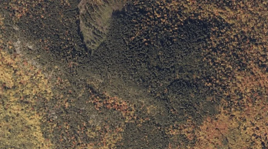
 Aerial imagery: USGS National Map (public domain)
Old Turk Mountain — Summits 22.1 Miles NNE of Chapman Inn
Oxford County, Maine · USGS Ellis Pond Quadrangle · GNIS 572734
Catalogued on the USGS Ellis Pond quadrangle in Oxford County, Maine, Old Turk Mountain — a summit — lies 22.1 miles north-northeast of Chapman Inn.
Wikidata short description: “mountain in United States of America”
Landmark Profile
Classification & USGS reference
Catalogued under GNIS Feature ID 572734, Old Turk Mountain is recorded as a summit on the USGS Ellis Pond quadrangle in Oxford County, Maine (FIPS 23/017). Last revised by the Board on Geographic Names on 09/02/2022.
Coordinates & physical setting
Old Turk Mountain sits at 44.70975° N, 70.65431° W (DMS 44°42′35″ N, 70°39′16″ W).
Other summits in Oxford County, Maine
Oxford County, ME contains 438 summits catalogued in the USGS Geographic Names Information System, counting Old Turk Mountain itself. The ones closest to Old Turk Mountain:
| Feature | USGS Quadrangle | Elevation | Distance |
|---|---|---|---|
| Record Hill | Ellis Pond | — | 1.8 mi |
| Pleasant Mountain | Ellis Pond | — | 2.5 mi |
| Whale Back Mountain | Roxbury | — | 2.6 mi |
| Hedgehog Hill | Ellis Pond | — | 2.7 mi |
| Dunham Hill | Ellis Pond | — | 3.2 mi |
| Flathead Mountain | Ellis Pond | — | 3.6 mi |
| Brush Mountain | Roxbury | — | 3.9 mi |
| West Mountain | Roxbury | — | 4.2 mi |
| Dolly Mountain | Jackson Mountain | — | 4.5 mi |
| Walker Mountain | Roxbury | — | 4.8 mi |
Features on the USGS Ellis Pond Quadrangle
The Ellis Pond 7.5-minute topographic quadrangle holds 24 catalogued natural features alongside Old Turk Mountain. A sampling nearest to this location:
| Feature | Type | County | Offset |
|---|---|---|---|
| Little Ellis Pond | Lakes | Oxford County, ME | 0.8 mi |
| Phelps Brook | Streams | Oxford County, ME | 1.7 mi |
| Record Hill | Summits | Oxford County, ME | 1.8 mi |
| East Branch Swift River | Streams | Oxford County, ME | 2.1 mi |
| Beaver Brook | Streams | Oxford County, ME | 2.3 mi |
| Pleasant Mountain | Summits | Oxford County, ME | 2.5 mi |
| York Brook | Streams | Oxford County, ME | 2.5 mi |
| Hedgehog Hill | Summits | Oxford County, ME | 2.7 mi |
| Dunham Hill | Summits | Oxford County, ME | 3.2 mi |
| French Island | Islands | Oxford County, ME | 3.4 mi |
Visiting from Chapman Inn
Distance, bearing & drive time
A 38-minute drive along back roads separates the front door of Chapman Inn from Old Turk Mountain — 22.1 miles north-northeast as the crow flies, on compass bearing NNE.
Best time to visit
Accessible May through November in most years. At this latitude (44.710°), the shoulder seasons are workable — April and November can be comfortable on mild years. At 22.1 miles from the Inn, plan on a comfortable day trip with time for lunch on the road. Conditions at Old Turk Mountain track the nearby Little Ellis Pond lake (0.8 mi away) closely — if that is runnable, so is this.
Nearest features to Old Turk Mountain
| Feature | Type | County | Distance |
|---|---|---|---|
| Little Ellis Pond | Lakes | Oxford County, ME | 0.8 mi |
| Phelps Brook | Streams | Oxford County, ME | 1.7 mi |
| Record Hill | Summits | Oxford County, ME | 1.8 mi |
| East Branch Swift River | Streams | Oxford County, ME | 2.1 mi |
| Beaver Brook | Streams | Oxford County, ME | 2.3 mi |
Frequently Asked Questions
Where is Old Turk Mountain located?
Old Turk Mountain is in Oxford County, Maine, approximately 22.1 miles north-northeast of Chapman Inn in Bethel, Maine. It appears on the USGS Ellis Pond topographic quadrangle.
How far is Old Turk Mountain from Chapman Inn?
The drive runs about 38 minutes, 22.1 miles north-northeast (bearing NNE) of the Inn.
What type of natural feature is Old Turk Mountain?
The U.S. Geological Survey classifies Old Turk Mountain as a summit, catalogued under GNIS Feature ID 572734 on the Ellis Pond quadrangle.
When is the best time to visit Old Turk Mountain?
Accessible May through November in most years.
How many other summits are in Oxford County, Maine?
GNIS lists 437 other summits in Oxford County, Maine.
Wikidata: Q33142441.