 Aerial imagery: USGS National Map (public domain)
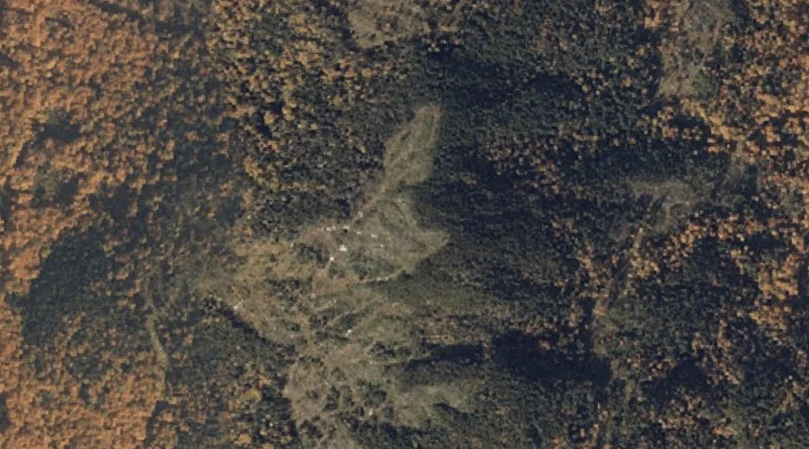
C Bluff Mountain — Summits 22.8 Miles N of Chapman Inn
Oxford County, Maine · USGS Andover Quadrangle · GNIS 563332
Catalogued on the USGS Andover quadrangle in Oxford County, Maine, C Bluff Mountain — a summit — lies 22.8 miles north of Chapman Inn.
Landmark Profile
Classification & USGS reference
Catalogued under GNIS Feature ID 563332, C Bluff Mountain is recorded as a summit on the USGS Andover quadrangle in Oxford County, Maine (FIPS 23/017). Last revised by the Board on Geographic Names on 06/04/2022.
Coordinates & physical setting
C Bluff Mountain sits at 44.73017° N, 70.86514° W (DMS 44°43′49″ N, 70°51′54″ W).
Other summits in Oxford County, Maine
Oxford County, ME contains 438 summits catalogued in the USGS Geographic Names Information System, counting C Bluff Mountain itself. The ones closest to C Bluff Mountain:
| Feature | USGS Quadrangle | Elevation | Distance |
|---|---|---|---|
| Black Cat Mountain | Andover | — | 0.9 mi |
| Hall Mountain | Andover | — | 2.7 mi |
| Moody Mountain | Andover | — | 3.4 mi |
| Wyman Mountain | Andover | — | 3.7 mi |
| Spruce Mountain | B Pond | — | 4 mi |
| Sawyer Mountain | Andover | — | 4.1 mi |
| Metallak Mountain | Metallak Mountain | — | 4.2 mi |
| Rabbit Knoll | B Pond | — | 4.9 mi |
| East B Hill | B Pond | — | 5.2 mi |
| Elephant Mountain | Metallak Mountain | — | 5.3 mi |
Features on the USGS Andover Quadrangle
The Andover 7.5-minute topographic quadrangle holds 22 catalogued natural features alongside C Bluff Mountain. A sampling nearest to this location:
| Feature | Type | County | Offset |
|---|---|---|---|
| C Bluff | Cliffs | Oxford County, ME | 0.7 mi |
| Black Cat Mountain | Summits | Oxford County, ME | 0.9 mi |
| Sawyer Notch | Gaps | Oxford County, ME | 2.2 mi |
| Hall Mountain | Summits | Oxford County, ME | 2.7 mi |
| Birch Brook | Streams | Oxford County, ME | 2.7 mi |
| Clearwater Brook | Streams | Oxford County, ME | 2.7 mi |
| Moody Mountain | Summits | Oxford County, ME | 3.4 mi |
| Wyman Mountain | Summits | Oxford County, ME | 3.7 mi |
| Surplus Pond | Lakes | Oxford County, ME | 3.8 mi |
| Sawyer Mountain | Summits | Oxford County, ME | 4.1 mi |
Visiting from Chapman Inn
Distance, bearing & drive time
A 39-minute drive along back roads separates the front door of Chapman Inn from C Bluff Mountain — 22.8 miles north as the crow flies, on compass bearing N.
Best time to visit
Accessible May through November in most years. At this latitude (44.730°), the shoulder seasons are workable — April and November can be comfortable on mild years. At 22.8 miles from the Inn, plan on a comfortable day trip with time for lunch on the road. Conditions at C Bluff Mountain track the nearby C Bluff cliff face (0.7 mi away) closely — if that is runnable, so is this.
Nearest features to C Bluff Mountain
| Feature | Type | County | Distance |
|---|---|---|---|
| C Bluff | Cliffs | Oxford County, ME | 0.7 mi |
| Black Cat Mountain | Summits | Oxford County, ME | 0.9 mi |
| C Pond | Lakes | Oxford County, ME | 1.2 mi |
| Mountain Brook | Streams | Oxford County, ME | 1.5 mi |
| Lost Brook | Streams | Oxford County, ME | 1.8 mi |
Frequently Asked Questions
Where is C Bluff Mountain located?
C Bluff Mountain is in Oxford County, Maine, approximately 22.8 miles north of Chapman Inn in Bethel, Maine. It appears on the USGS Andover topographic quadrangle.
How far is C Bluff Mountain from Chapman Inn?
The drive runs about 39 minutes, 22.8 miles north (bearing N) of the Inn.
What type of natural feature is C Bluff Mountain?
The U.S. Geological Survey classifies C Bluff Mountain as a summit, catalogued under GNIS Feature ID 563332 on the Andover quadrangle.
When is the best time to visit C Bluff Mountain?
Accessible May through November in most years.
How many other summits are in Oxford County, Maine?
GNIS lists 437 other summits in Oxford County, Maine.