 Aerial imagery: USGS National Map (public domain)
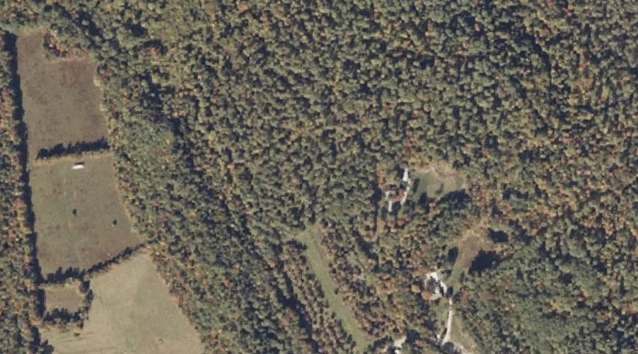
Hemlock Hill — Summits 13.9 Miles SSE of Chapman Inn
Oxford County, Maine · USGS Waterford Flat Quadrangle · GNIS 1908048
13.9 miles south-southeast of Chapman Inn, on the USGS Waterford Flat topographic quadrangle, Hemlock Hill is a summit recorded in Oxford County, Maine by the federal Geographic Names Information System.
Landmark Profile
Classification & USGS reference
The USGS Waterford Flat 7.5-minute topographic quadrangle places Hemlock Hill in Oxford County, Maine (FIPS 23/017), classified as a summit in the federal GNIS (Feature ID 1908048). Last revised by the Board on Geographic Names on 08/06/2022.
Coordinates & physical setting
Hemlock Hill sits at 44.21538° N, 70.69665° W (DMS 44°12′55″ N, 70°41′48″ W).
Other summits in Oxford County, Maine
Oxford County, ME contains 438 summits catalogued in the USGS Geographic Names Information System, counting Hemlock Hill itself. The ones closest to Hemlock Hill:
| Feature | USGS Quadrangle | Elevation | Distance |
|---|---|---|---|
| Page Mountain | Waterford Flat | — | 1.4 mi |
| Rice Hill | Waterford Flat | — | 1.7 mi |
| Pulpit Rock | Waterford Flat | — | 1.8 mi |
| Newcomb Mountain | Waterford Flat | — | 2.1 mi |
| Brown Hill | Waterford Flat | — | 2.2 mi |
| McWain Hill | Waterford Flat | — | 2.7 mi |
| Mount Tire'm | Waterford Flat | 3,478 ft | 3 mi |
| Coolidge Hill | Waterford Flat | — | 3.4 mi |
| Stanwood Mountain | Waterford Flat | — | 3.4 mi |
| Baker Hill | Waterford Flat | — | 3.4 mi |
Features on the USGS Waterford Flat Quadrangle
The Waterford Flat 7.5-minute topographic quadrangle holds 47 catalogued natural features alongside Hemlock Hill. A sampling nearest to this location:
| Feature | Type | County | Offset |
|---|---|---|---|
| McIntire Brook | Streams | Oxford County, ME | 0.8 mi |
| Mills Brook | Streams | Oxford County, ME | 0.8 mi |
| Hemlock Brook | Streams | Oxford County, ME | 1 mi |
| Page Mountain | Summits | Oxford County, ME | 1.4 mi |
| Town Farm Swamp | Swamps | Oxford County, ME | 1.4 mi |
| Papoose Pond | Lakes | Oxford County, ME | 1.5 mi |
| Morse Brook | Streams | Oxford County, ME | 1.5 mi |
| Rice Hill | Summits | Oxford County, ME | 1.7 mi |
| Meadow Brook | Streams | Oxford County, ME | 1.8 mi |
| Pulpit Rock | Summits | Oxford County, ME | 1.8 mi |
Visiting from Chapman Inn
Distance, bearing & drive time
Chapman Inn sits 13.9 miles south-southeast (bearing SSE) of Hemlock Hill. At moderate back-road speeds the drive runs about 24 minutes — comfortably inside a half-day outing window after breakfast.
Best time to visit
Accessible May through November in most years. At this latitude (44.215°), the shoulder seasons are workable — April and November can be comfortable on mild years. At 13.9 miles from the Inn, plan on a comfortable day trip with time for lunch on the road. Conditions at Hemlock Hill track the nearby McIntire Brook stream (0.8 mi away) closely — if that is runnable, so is this.
Nearest features to Hemlock Hill
| Feature | Type | County | Distance |
|---|---|---|---|
| McIntire Brook | Streams | Oxford County, ME | 0.8 mi |
| Mills Brook | Streams | Oxford County, ME | 0.8 mi |
| Hemlock Brook | Streams | Oxford County, ME | 1 mi |
| Page Mountain | Summits | Oxford County, ME | 1.4 mi |
| Town Farm Swamp | Swamps | Oxford County, ME | 1.4 mi |
Frequently Asked Questions
Where is Hemlock Hill located?
Hemlock Hill is in Oxford County, Maine, approximately 13.9 miles south-southeast of Chapman Inn in Bethel, Maine. It appears on the USGS Waterford Flat topographic quadrangle.
How far is Hemlock Hill from Chapman Inn?
The drive runs about 24 minutes, 13.9 miles south-southeast (bearing SSE) of the Inn.
What type of natural feature is Hemlock Hill?
The U.S. Geological Survey classifies Hemlock Hill as a summit, catalogued under GNIS Feature ID 1908048 on the Waterford Flat quadrangle.
When is the best time to visit Hemlock Hill?
Accessible May through November in most years.
How many other summits are in Oxford County, Maine?
GNIS lists 437 other summits in Oxford County, Maine.