 Aerial imagery: USGS National Map (public domain)
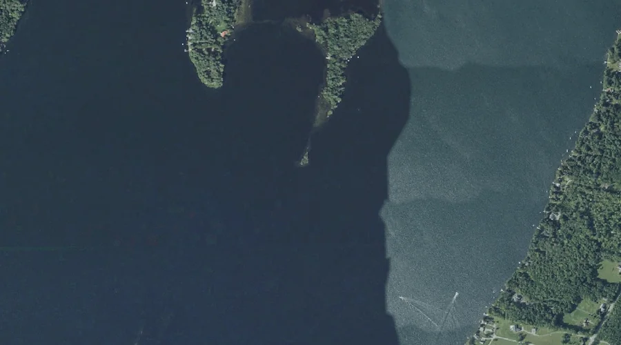
Packards Ledge — Other Natural Features 44.8 Miles E of Chapman Inn
Kennebec County, Maine · USGS Winthrop Quadrangle · GNIS 572911
Catalogued on the USGS Winthrop quadrangle in Kennebec County, Maine, Packards Ledge — a natural feature — lies 44.8 miles east of Chapman Inn.
Landmark Profile
Classification & USGS reference
Catalogued under GNIS Feature ID 572911, Packards Ledge is recorded as a natural feature on the USGS Winthrop quadrangle in Kennebec County, Maine (FIPS 23/011). Catalogued in GNIS since 08/27/2002.
Coordinates & physical setting
Packards Ledge sits at 44.31257° N, 69.89199° W (DMS 44°18′45″ N, 69°53′31″ W).
Features on the USGS Winthrop Quadrangle
The Winthrop 7.5-minute topographic quadrangle holds 35 catalogued natural features alongside Packards Ledge. A sampling nearest to this location:
| Feature | Type | County | Offset |
|---|---|---|---|
| Hersey Island | Islands | Kennebec County, ME | 0.2 mi |
| Welch Point | Capes | Kennebec County, ME | 0.4 mi |
| Upper Sister Island | Islands | Kennebec County, ME | 1.1 mi |
| Little Cobbosseecontee Lake | Lakes | Kennebec County, ME | 1.1 mi |
| Kezar Pond | Lakes | Kennebec County, ME | 1.2 mi |
| Robbins Point | Capes | Kennebec County, ME | 1.3 mi |
| Mears Brook | Streams | Kennebec County, ME | 1.3 mi |
| Kezar Brook | Streams | Kennebec County, ME | 1.4 mi |
| Lower Sister Island | Islands | Kennebec County, ME | 1.5 mi |
| Cuba Island | Islands | Kennebec County, ME | 1.5 mi |
Visiting from Chapman Inn
Distance, bearing & drive time
A 77-minute drive along back roads separates the front door of Chapman Inn from Packards Ledge — 44.8 miles east as the crow flies, on compass bearing E.
Best time to visit
Generally accessible May through October; winter access depends on snow cover. At this latitude (44.313°), the shoulder seasons are workable — April and November can be comfortable on mild years. At 44.8 miles from the Inn, block the full day — sunrise start, late return, packed meals. Conditions at Packards Ledge track the nearby Hersey Island (0.2 mi away) closely — if that is runnable, so is this.
Nearest features to Packards Ledge
| Feature | Type | County | Distance |
|---|---|---|---|
| Hersey Island | Islands | Kennebec County, ME | 0.2 mi |
| Welch Point | Capes | Kennebec County, ME | 0.4 mi |
| Upper Sister Island | Islands | Kennebec County, ME | 1.1 mi |
| Little Cobbosseecontee Lake | Lakes | Kennebec County, ME | 1.1 mi |
| Kezar Pond | Lakes | Kennebec County, ME | 1.2 mi |
Frequently Asked Questions
Where is Packards Ledge located?
Packards Ledge is in Kennebec County, Maine, approximately 44.8 miles east of Chapman Inn in Bethel, Maine. It appears on the USGS Winthrop topographic quadrangle.
How far is Packards Ledge from Chapman Inn?
The drive runs about 77 minutes, 44.8 miles east (bearing E) of the Inn.
What type of natural feature is Packards Ledge?
The U.S. Geological Survey classifies Packards Ledge as a natural feature, catalogued under GNIS Feature ID 572911 on the Winthrop quadrangle.
When is the best time to visit Packards Ledge?
Generally accessible May through October; winter access depends on snow cover.
Wikidata: Q49620126.