 Aerial imagery: USGS National Map (public domain)
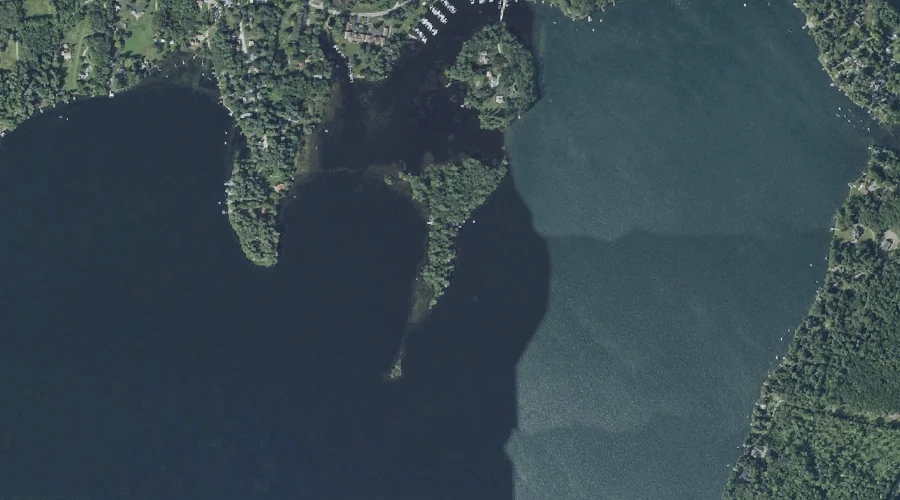
Hersey Island — Islands 44.8 Miles E of Chapman Inn
Kennebec County, Maine · USGS Winthrop Quadrangle · GNIS 567978
44.8 miles east of Chapman Inn, on the USGS Winthrop topographic quadrangle, Hersey Island is a island recorded in Kennebec County, Maine by the federal Geographic Names Information System.
Wikidata short description: “island in Kennebec County, Maine, United States”
Landmark Profile
Classification & USGS reference
The USGS Winthrop 7.5-minute topographic quadrangle places Hersey Island in Kennebec County, Maine (FIPS 23/011), classified as a island in the federal GNIS (Feature ID 567978). Catalogued in GNIS since 09/30/1980.
Coordinates & physical setting
Hersey Island sits at 44.31562° N, 69.89060° W (DMS 44°18′56″ N, 69°53′26″ W).
Other islands in Kennebec County, Maine
Kennebec County, ME contains 50 islands catalogued in the USGS Geographic Names Information System, counting Hersey Island itself. The ones closest to Hersey Island:
| Feature | USGS Quadrangle | Distance |
|---|---|---|
| Upper Sister Island | Winthrop | 1.3 mi |
| Lower Sister Island | Winthrop | 1.7 mi |
| Cuba Island | Winthrop | 1.7 mi |
| Hodgdon Island | Winthrop | 2.1 mi |
| Belle Island | Winthrop | 2.3 mi |
| Molazigan Island | Winthrop | 2.3 mi |
| Black Island | Winthrop | 2.5 mi |
| Frog Island | Winthrop | 2.8 mi |
| Horseshoe Island | Winthrop | 3.3 mi |
| Richards Island | Winthrop | 5 mi |
Features on the USGS Winthrop Quadrangle
The Winthrop 7.5-minute topographic quadrangle holds 35 catalogued natural features alongside Hersey Island. A sampling nearest to this location:
| Feature | Type | County | Offset |
|---|---|---|---|
| Packards Ledge | Other Natural Features | Kennebec County, ME | 0.2 mi |
| Welch Point | Capes | Kennebec County, ME | 0.3 mi |
| Little Cobbosseecontee Lake | Lakes | Kennebec County, ME | 0.9 mi |
| Mears Brook | Streams | Kennebec County, ME | 1.1 mi |
| Kezar Pond | Lakes | Kennebec County, ME | 1.3 mi |
| Upper Sister Island | Islands | Kennebec County, ME | 1.3 mi |
| Robbins Point | Capes | Kennebec County, ME | 1.5 mi |
| Kezar Brook | Streams | Kennebec County, ME | 1.6 mi |
| Lower Sister Island | Islands | Kennebec County, ME | 1.7 mi |
| Cuba Island | Islands | Kennebec County, ME | 1.7 mi |
Visiting from Chapman Inn
Distance, bearing & drive time
Chapman Inn sits 44.8 miles east (bearing E) of Hersey Island. At moderate back-road speeds the drive runs about 77 minutes — comfortably inside a half-day outing window after breakfast.
Best time to visit
Late May through early October, when the water is safe for small-boat access. At this latitude (44.316°), the shoulder seasons are workable — April and November can be comfortable on mild years. At 44.8 miles from the Inn, block the full day — sunrise start, late return, packed meals. Conditions at Hersey Island track the nearby Packards Ledge natural feature (0.2 mi away) closely — if that is runnable, so is this.
Nearest features to Hersey Island
| Feature | Type | County | Distance |
|---|---|---|---|
| Packards Ledge | Other Natural Features | Kennebec County, ME | 0.2 mi |
| Welch Point | Capes | Kennebec County, ME | 0.3 mi |
| Little Cobbosseecontee Lake | Lakes | Kennebec County, ME | 0.9 mi |
| Mears Brook | Streams | Kennebec County, ME | 1.1 mi |
| Kezar Pond | Lakes | Kennebec County, ME | 1.3 mi |
Frequently Asked Questions
Where is Hersey Island located?
Hersey Island is in Kennebec County, Maine, approximately 44.8 miles east of Chapman Inn in Bethel, Maine. It appears on the USGS Winthrop topographic quadrangle.
How far is Hersey Island from Chapman Inn?
The drive runs about 77 minutes, 44.8 miles east (bearing E) of the Inn.
What type of natural feature is Hersey Island?
The U.S. Geological Survey classifies Hersey Island as a island, catalogued under GNIS Feature ID 567978 on the Winthrop quadrangle.
When is the best time to visit Hersey Island?
Late May through early October, when the water is safe for small-boat access.
How many other islands are in Kennebec County, Maine?
GNIS lists 49 other islands in Kennebec County, Maine.
Wikidata: Q34780426.