 Aerial imagery: USGS National Map (public domain)
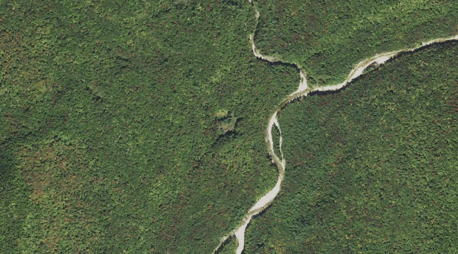
Ice Pond — Lakes 44.3 Miles WSW of Chapman Inn
Grafton County, New Hampshire · USGS Mount Osceola Quadrangle · GNIS 872068
Catalogued on the USGS Mount Osceola quadrangle in Grafton County, New Hampshire, Ice Pond — a lake — lies 44.3 miles west-southwest of Chapman Inn.
Landmark Profile
Classification & USGS reference
Catalogued under GNIS Feature ID 872068, Ice Pond is recorded as a lake on the USGS Mount Osceola quadrangle in Grafton County, New Hampshire (FIPS 33/009). Last revised by the Board on Geographic Names on 05/15/2018.
Coordinates & physical setting
Ice Pond sits at 44.09934° N, 71.57691° W (DMS 44°05′58″ N, 71°34′37″ W).
Other lakes in Grafton County, New Hampshire
Grafton County, NH contains 24 lakes catalogued in the USGS Geographic Names Information System, counting Ice Pond itself. The ones closest to Ice Pond:
| Feature | USGS Quadrangle | Distance |
|---|---|---|
| Black Pond | Mount Osceola | 0.6 mi |
| Little Loon Pond | Lincoln | 4.9 mi |
| The Pool | Lincoln | 5 mi |
| Little East Pond | Mount Osceola | 5.6 mi |
| Carrigain Pond | Mount Carrigain | 5.8 mi |
| Eagles Lakes | Franconia | 5.9 mi |
| East Pond | Mount Osceola | 6.4 mi |
| Garfield Pond | South Twin Mountain | 6.4 mi |
| Profile Lake | Franconia | 6.7 mi |
| Zeacliff Pond | South Twin Mountain | 6.7 mi |
Features on the USGS Mount Osceola Quadrangle
The Mount Osceola 7.5-minute topographic quadrangle holds 30 catalogued natural features alongside Ice Pond. A sampling nearest to this location:
| Feature | Type | County | Offset |
|---|---|---|---|
| Birch Island Brook | Streams | Grafton County, NH | 0.1 mi |
| Franconia Branch | Streams | Grafton County, NH | 0.2 mi |
| Franconia Falls | Waterfalls | Grafton County, NH | 0.4 mi |
| Black Pond | Lakes | Grafton County, NH | 0.6 mi |
| Cedar Brook | Streams | Grafton County, NH | 1.1 mi |
| Lincoln Brook | Streams | Grafton County, NH | 1.3 mi |
| Black Brook | Streams | Grafton County, NH | 2.1 mi |
| Whaleback Mountain | Summits | Grafton County, NH | 2.3 mi |
| Potash Knob | Summits | Grafton County, NH | 2.5 mi |
| Mount Hitchcock | Summits | Grafton County, NH | 2.5 mi |
Visiting from Chapman Inn
Distance, bearing & drive time
A 76-minute drive along back roads separates the front door of Chapman Inn from Ice Pond — 44.3 miles west-southwest as the crow flies, on compass bearing WSW.
Best time to visit
June through September for paddling and swimming; January through March for ice fishing. At this latitude (44.099°), the shoulder seasons are workable — April and November can be comfortable on mild years. At 44.3 miles from the Inn, block the full day — sunrise start, late return, packed meals. Conditions at Ice Pond track the nearby Birch Island Brook stream (essentially adjacent) closely — if that is runnable, so is this.
Nearest features to Ice Pond
| Feature | Type | County | Distance |
|---|---|---|---|
| Birch Island Brook | Streams | Grafton County, NH | 0.1 mi |
| Franconia Branch | Streams | Grafton County, NH | 0.2 mi |
| Franconia Falls | Waterfalls | Grafton County, NH | 0.4 mi |
| Black Pond | Lakes | Grafton County, NH | 0.6 mi |
| Cedar Brook | Streams | Grafton County, NH | 1.1 mi |
Frequently Asked Questions
Where is Ice Pond located?
Ice Pond is in Grafton County, New Hampshire, approximately 44.3 miles west-southwest of Chapman Inn in Bethel, Maine. It appears on the USGS Mount Osceola topographic quadrangle.
How far is Ice Pond from Chapman Inn?
The drive runs about 76 minutes, 44.3 miles west-southwest (bearing WSW) of the Inn.
What type of natural feature is Ice Pond?
The U.S. Geological Survey classifies Ice Pond as a lake, catalogued under GNIS Feature ID 872068 on the Mount Osceola quadrangle.
When is the best time to visit Ice Pond?
June through September for paddling and swimming; January through March for ice fishing.
How many other lakes are in Grafton County, New Hampshire?
GNIS lists 23 other lakes in Grafton County, New Hampshire.