Dennis Hill is a summit in Kennebec County, Maine, located about 45.4 miles east-southeast of Chapman Inn in Bethel, Maine. It appears on the USGS Purgatory topographic quadrangle.
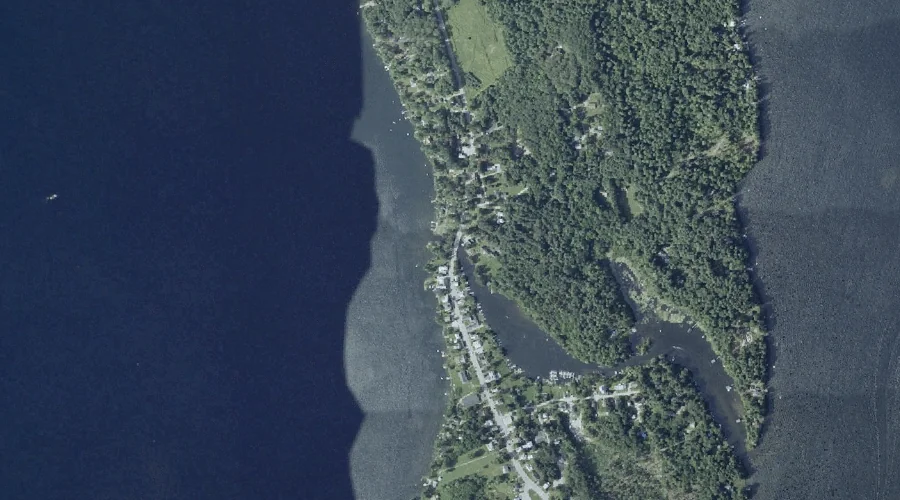
Great Pond is a reservoir in Kennebec County, Maine, located about 45.2 miles east-northeast of Chapman Inn in Bethel, Maine. It appears on the USGS Belgrade Lakes topographic…
Dennis Brook is a stream in Kennebec County, Maine, located about 45.2 miles east-southeast of Chapman Inn in Bethel, Maine. It appears on the USGS Purgatory topographic quadrangle.
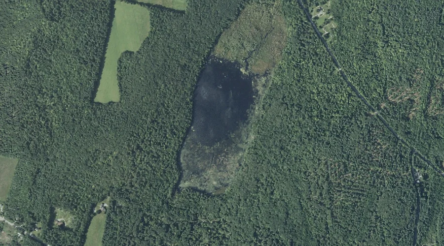
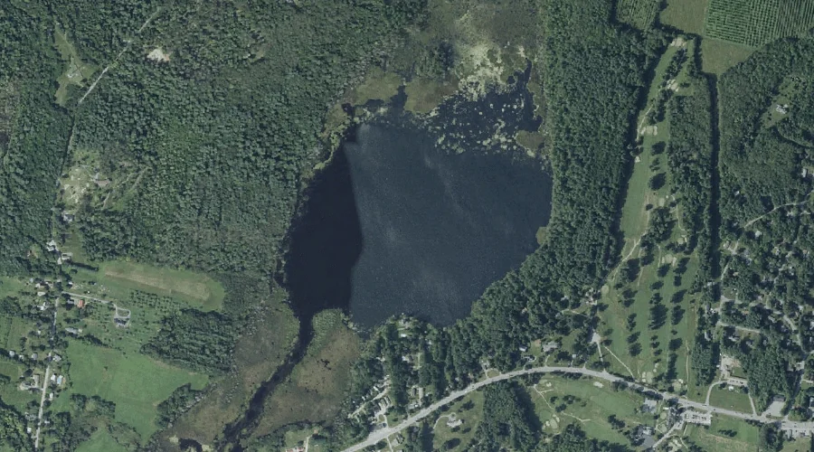
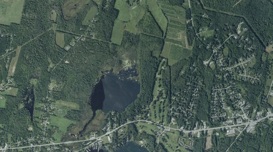
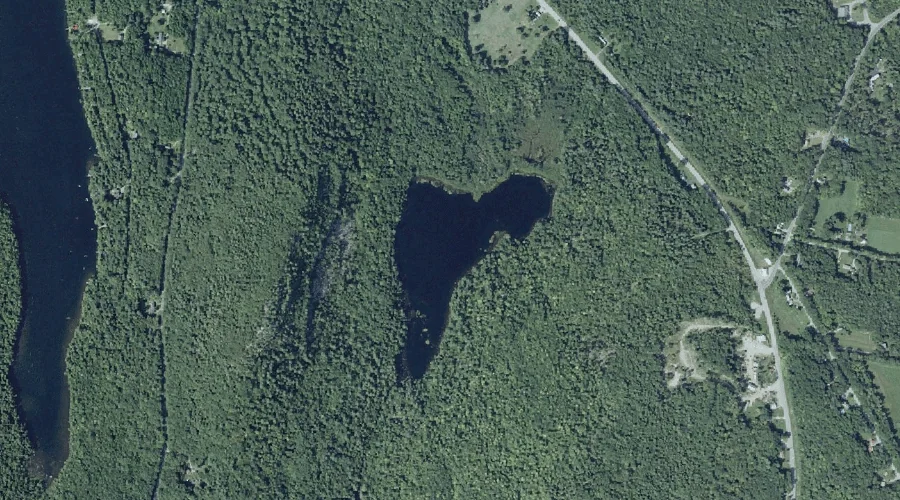
Shed Pond is a lake in Kennebec County, Maine, located about 45.2 miles east of Chapman Inn in Bethel, Maine. It appears on the USGS Winthrop topographic quadrangle.
Long Point is a cape in Kennebec County, Maine, located about 44.8 miles east-northeast of Chapman Inn in Bethel, Maine. It appears on the USGS Belgrade Lakes topographic…
Monks Hill is a summit in Kennebec County, Maine, located about 44.9 miles east of Chapman Inn in Bethel, Maine. It appears on the USGS Winthrop topographic quadrangle.
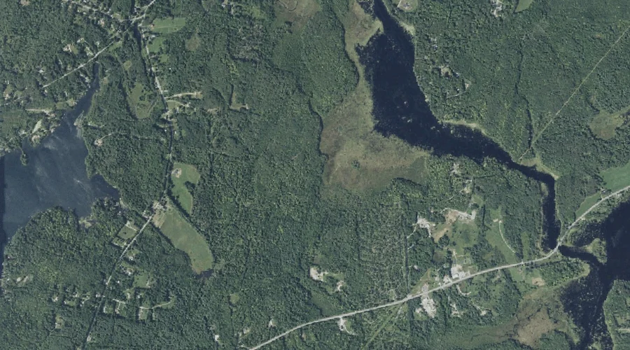
Little Cobbosseecontee Lake is a lake in Kennebec County, Maine, located about 44.9 miles east of Chapman Inn in Bethel, Maine. It appears on the USGS Winthrop topographic…
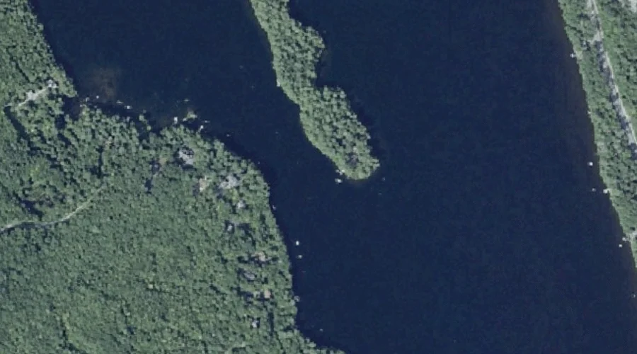
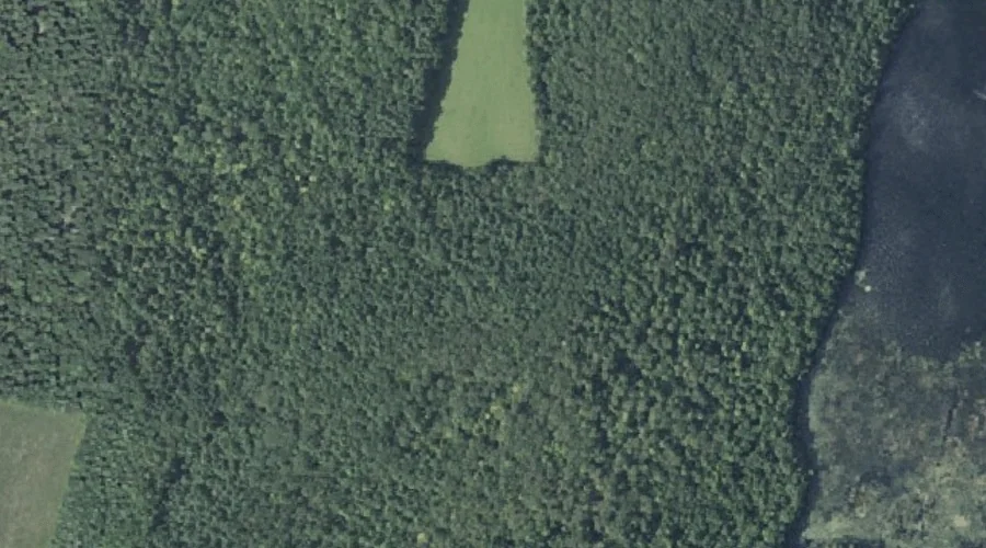
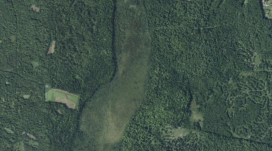
Weston Meadow is a swamp in Kennebec County, Maine, located about 44.9 miles east of Chapman Inn in Bethel, Maine. It appears on the USGS Readfield topographic quadrangle.
Mears Brook is a stream in Kennebec County, Maine, located about 45.1 miles east of Chapman Inn in Bethel, Maine. It appears on the USGS Winthrop topographic quadrangle.
Whittier Pond is a lake in Kennebec County, Maine, located about 44.7 miles east-northeast of Chapman Inn in Bethel, Maine. It appears on the USGS Belgrade Lakes topographic…