Hersom Point is a cape in Kennebec County, Maine, located about 45.9 miles east of Chapman Inn in Bethel, Maine. It appears on the USGS Rome topographic quadrangle.
Sanford Brook is a stream in Kennebec County, Maine, located about 45.8 miles east of Chapman Inn in Bethel, Maine. It appears on the USGS Belgrade topographic quadrangle.
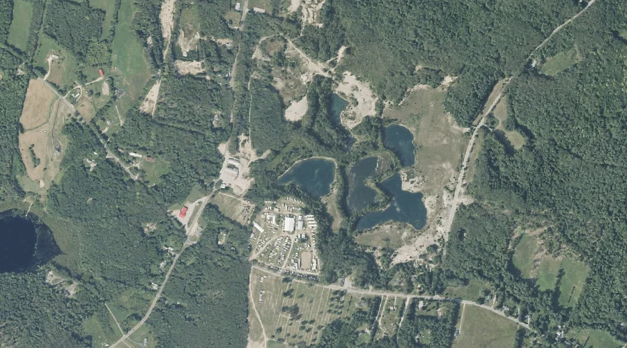
Mill Pond is a reservoir in Kennebec County, Maine, located about 45.9 miles east-southeast of Chapman Inn in Bethel, Maine. It appears on the USGS Purgatory topographic quadrangle.
Lord Hill is a summit in Kennebec County, Maine, located about 45.6 miles east of Chapman Inn in Bethel, Maine. It appears on the USGS Belgrade topographic quadrangle.
Hoyt Brook is a stream in Kennebec County, Maine, located about 45.7 miles east of Chapman Inn in Bethel, Maine. It appears on the USGS Belgrade topographic quadrangle.
Bog Brook is a stream in Kennebec County, Maine, located about 45.4 miles east-southeast of Chapman Inn in Bethel, Maine. It appears on the USGS Winthrop topographic quadrangle.
The Mountain is a summit in Kennebec County, Maine, located about 45.5 miles east-northeast of Chapman Inn in Bethel, Maine. It appears on the USGS Belgrade Lakes topographic…
Cobbosseecontee Stream Reservoir is a reservoir in Kennebec County, Maine, located about 45.5 miles east-southeast of Chapman Inn in Bethel, Maine. It appears on the USGS Purgatory topographic…
Mud Pond is a lake in Kennebec County, Maine, located about 45.3 miles east-southeast of Chapman Inn in Bethel, Maine. It appears on the USGS Purgatory topographic quadrangle.
Morrill Hill is a summit in Kennebec County, Maine, located about 45.4 miles east-northeast of Chapman Inn in Bethel, Maine. It appears on the USGS Belgrade Lakes topographic…