Chandler Hill is a summit in Franklin County, Maine, located about 29.4 miles northeast of Chapman Inn in Bethel, Maine. It appears on the USGS Mount Blue topographic…
Kinneys Head is a summit in Franklin County, Maine, located about 29.1 miles northeast of Chapman Inn in Bethel, Maine. It appears on the USGS Mount Blue topographic…
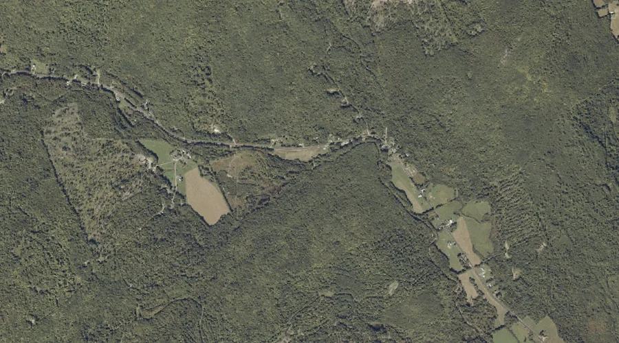
Temple Brook is a stream in Franklin County, Maine, located about 29.2 miles east-northeast of Chapman Inn in Bethel, Maine. It appears on the USGS Mount Blue topographic…
Spencer Pond is a lake in Franklin County, Maine, located about 29.2 miles north of Chapman Inn in Bethel, Maine. It appears on the USGS Houghton topographic quadrangle.
Hedgehog Hill is a summit in Franklin County, Maine, located about 29.3 miles northeast of Chapman Inn in Bethel, Maine. It appears on the USGS Weld topographic quadrangle.
Crockett Mountain is a summit in Franklin County, Maine, located about 29.0 miles northeast of Chapman Inn in Bethel, Maine. It appears on the USGS Mount Blue topographic…
Center Hill is a summit in Franklin County, Maine, located about 29.0 miles northeast of Chapman Inn in Bethel, Maine. It appears on the USGS Weld topographic quadrangle.
Dakin Brook is a stream in Franklin County, Maine, located about 28.9 miles east-northeast of Chapman Inn in Bethel, Maine. It appears on the USGS Mount Blue topographic…
Fran Brook is a stream in Franklin County, Maine, located about 28.9 miles northeast of Chapman Inn in Bethel, Maine. It appears on the USGS Weld topographic quadrangle.
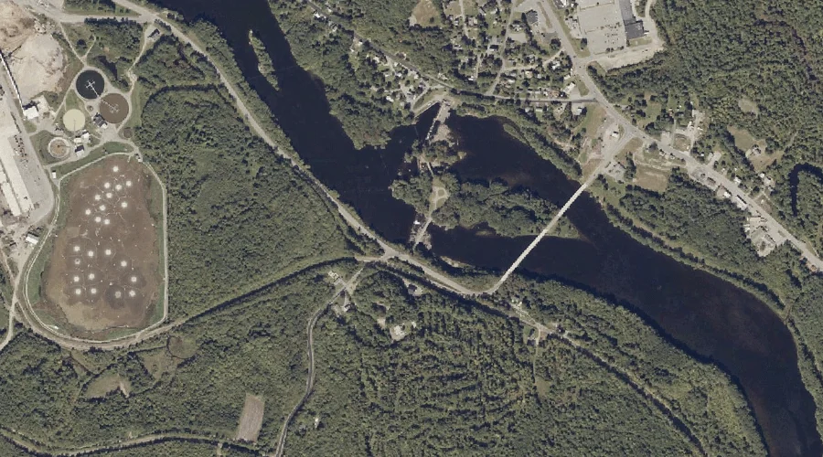
Androscoggin River Reservoir is a reservoir in Franklin County, Maine, located about 28.7 miles east-northeast of Chapman Inn in Bethel, Maine. It appears on the USGS Wilton topographic…