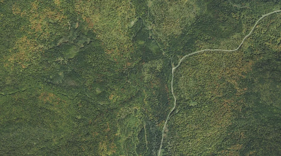
Cascade Brook is a stream in Coos County, New Hampshire, located about 38.9 miles northwest of Chapman Inn in Bethel, Maine. It appears on the USGS Dixville Notch…
Hedgehog Brook is a stream in Coos County, New Hampshire, located about 38.9 miles northwest of Chapman Inn in Bethel, Maine. It appears on the USGS Dixville Notch…
Upper Ammonoosuc River is a stream in Coos County, New Hampshire, located about 39.0 miles west-northwest of Chapman Inn in Bethel, Maine. It appears on the USGS Groveton…
Beech Hill is a summit in Coos County, New Hampshire, located about 39.0 miles west-northwest of Chapman Inn in Bethel, Maine. It appears on the USGS Groveton topographic…
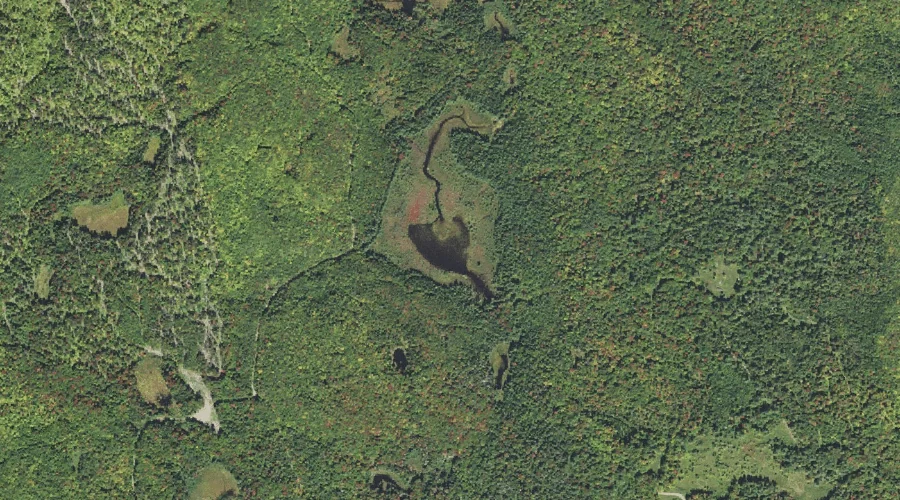
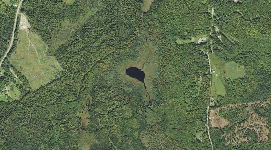
Jonathan Pond is a lake in Coos County, New Hampshire, located about 39.0 miles west-northwest of Chapman Inn in Bethel, Maine. It appears on the USGS Stratford topographic…
Prospect Mountain is a summit in Coos County, New Hampshire, located about 38.7 miles west of Chapman Inn in Bethel, Maine. It appears on the USGS Lancaster topographic…
Weeks Pond is a lake in Coos County, New Hampshire, located about 38.8 miles west of Chapman Inn in Bethel, Maine. It appears on the USGS Lancaster topographic…
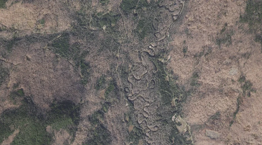
Loomis Valley Brook is a stream in Coos County, New Hampshire, located about 38.8 miles north-northwest of Chapman Inn in Bethel, Maine. It appears on the USGS Wilsons…
Dixie Brook is a stream in Coos County, New Hampshire, located about 38.8 miles north-northwest of Chapman Inn in Bethel, Maine. It appears on the USGS Mount Pisgah…
Halfmoon Mountain is a summit in Coos County, New Hampshire, located about 38.7 miles north-northwest of Chapman Inn in Bethel, Maine. It appears on the USGS Wilsons Mills…