East Branch Nash Stream is a stream in Coos County, New Hampshire, located about 38.3 miles northwest of Chapman Inn in Bethel, Maine. It appears on the USGS…
Stratford Mountain is a ridge in Coos County, New Hampshire, located about 38.4 miles west-northwest of Chapman Inn in Bethel, Maine. It appears on the USGS Percy Peaks…
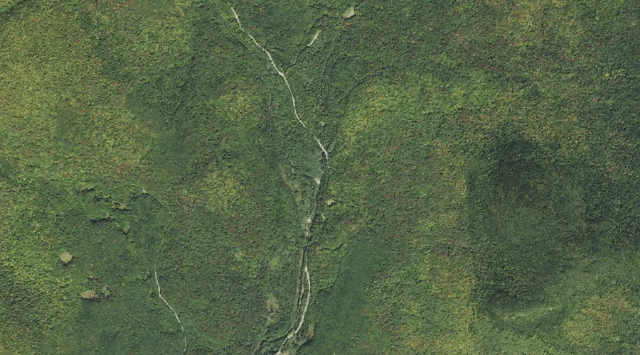
Cherry Mountain Brook is a stream in Coos County, New Hampshire, located about 38.1 miles west of Chapman Inn in Bethel, Maine. It appears on the USGS Twin…
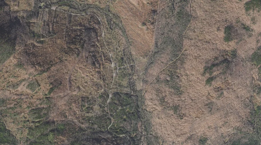
Bag Hill is a summit in Coos County, New Hampshire, located about 38.1 miles west-northwest of Chapman Inn in Bethel, Maine. It appears on the USGS Percy Peaks…
Fourmile Brook is a stream in Coos County, New Hampshire, located about 38.2 miles north-northwest of Chapman Inn in Bethel, Maine. It appears on the USGS Mount Pisgah…
Hazens Pond is a lake in Coos County, New Hampshire, located about 38.1 miles west of Chapman Inn in Bethel, Maine. It appears on the USGS Twin Mountain…
Rice Mountain is a summit in Coos County, New Hampshire, located about 38.1 miles northwest of Chapman Inn in Bethel, Maine. It appears on the USGS Errol topographic…
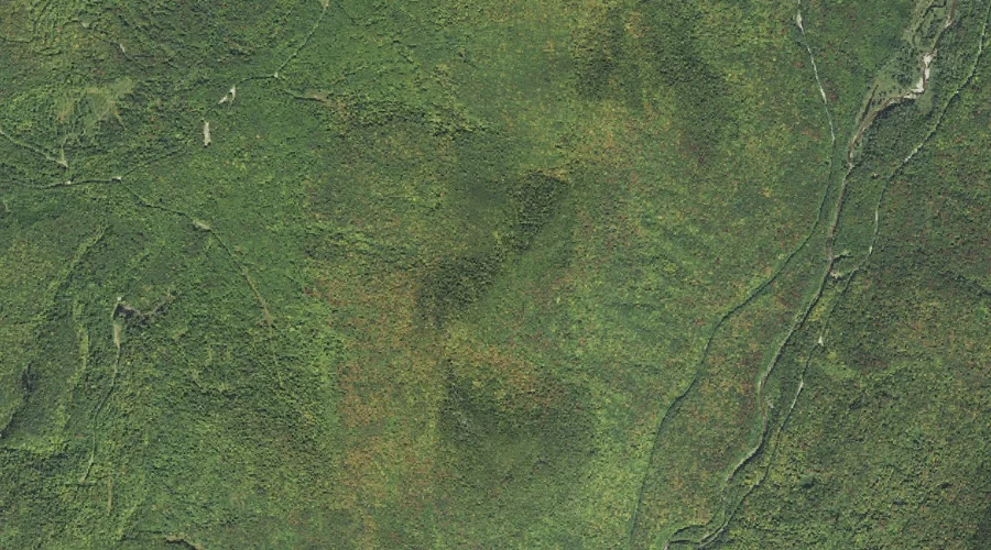
Pond Brook is a stream in Coos County, New Hampshire, located about 38.1 miles west-northwest of Chapman Inn in Bethel, Maine. It appears on the USGS Percy Peaks…
Spalding Hill is a ridge in Coos County, New Hampshire, located about 38.0 miles west-northwest of Chapman Inn in Bethel, Maine. It appears on the USGS Groveton topographic…
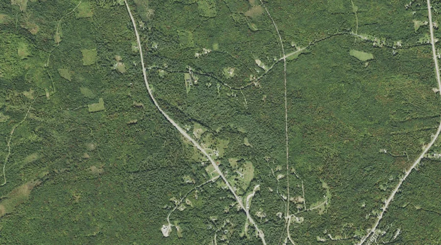
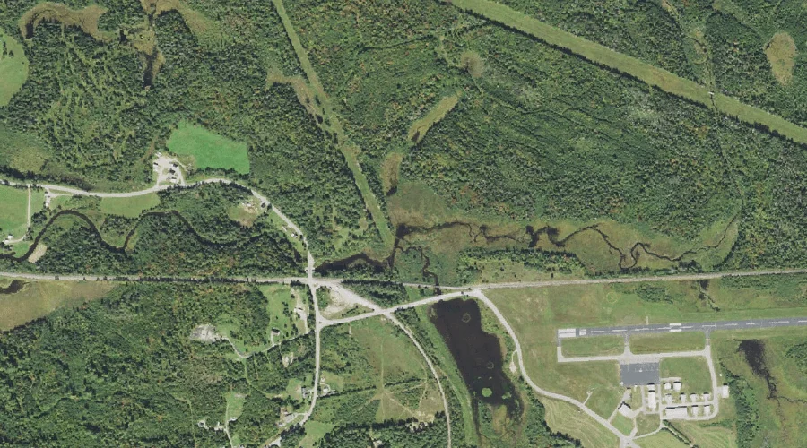
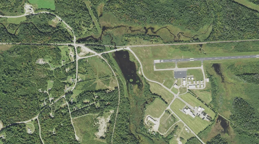
Airport Marsh Reservoir is a reservoir in Coos County, New Hampshire, located about 38.0 miles west of Chapman Inn in Bethel, Maine. It appears on the USGS Twin…