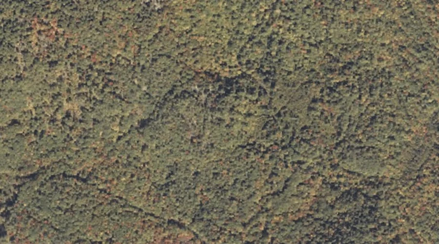
 Aerial imagery: USGS National Map (public domain)
Pauls Bluff — Cliffs 20.1 Miles ENE of Chapman Inn
Oxford County, Maine · USGS Dixfield Quadrangle · GNIS 573079
Catalogued on the USGS Dixfield quadrangle in Oxford County, Maine, Pauls Bluff — a cliff face — lies 20.1 miles east-northeast of Chapman Inn.
Wikidata short description: “cliff in Oxford County, Maine, United States of America”
Landmark Profile
Classification & USGS reference
Catalogued under GNIS Feature ID 573079, Pauls Bluff is recorded as a cliff face on the USGS Dixfield quadrangle in Oxford County, Maine (FIPS 23/017). Catalogued in GNIS since 09/30/1980.
Coordinates & physical setting
Pauls Bluff sits at 44.53784° N, 70.42590° W (DMS 44°32′16″ N, 70°25′33″ W).
Other cliffs in Oxford County, Maine
Oxford County, ME contains 11 cliffs catalogued in the USGS Geographic Names Information System, counting Pauls Bluff itself. The ones closest to Pauls Bluff:
| Feature | USGS Quadrangle | Distance |
|---|---|---|
| Whittemore Bluff | Dixfield | 1.1 mi |
| Bucks Ledge | Bryant Pond | 14.9 mi |
| Berry Ledge | West Paris | 15.7 mi |
| Goss Ledge | Bryant Pond | 16.1 mi |
| Payne Ledge | Greenwood | 17.6 mi |
| Shaw Ledge | West Paris | 19 mi |
| Browns Ledge | East Stoneham | 24.2 mi |
| C Bluff | Andover | 25.3 mi |
| Hedgehog Ledge | Waterford Flat | 31.4 mi |
| Brigham Ledge | Waterford Flat | 31.7 mi |
Features on the USGS Dixfield Quadrangle
The Dixfield 7.5-minute topographic quadrangle holds 36 catalogued natural features alongside Pauls Bluff. A sampling nearest to this location:
| Feature | Type | County | Offset |
|---|---|---|---|
| Bull Rock | Pillars | Oxford County, ME | 0.9 mi |
| Whittemore Bluff | Cliffs | Oxford County, ME | 1.1 mi |
| Sugarloaf | Summits | Oxford County, ME | 1.4 mi |
| Spears Stream | Streams | Oxford County, ME | 1.6 mi |
| Webb River | Streams | Franklin County, ME | 1.7 mi |
| Newton Hill | Summits | Oxford County, ME | 1.8 mi |
| Morrill Ledges | Summits | Oxford County, ME | 2 mi |
| Mitchell Brook | Streams | Oxford County, ME | 2.2 mi |
| Newton Brook | Streams | Oxford County, ME | 2.3 mi |
| Aunt Hannah Brook | Streams | Oxford County, ME | 2.3 mi |
Visiting from Chapman Inn
Distance, bearing & drive time
A 34-minute drive along back roads separates the front door of Chapman Inn from Pauls Bluff — 20.1 miles east-northeast as the crow flies, on compass bearing ENE.
Best time to visit
Accessible May through November in most years. At this latitude (44.538°), the shoulder seasons are workable — April and November can be comfortable on mild years. At 20.1 miles from the Inn, plan on a comfortable day trip with time for lunch on the road. Conditions at Pauls Bluff track the nearby Bull Rock rock pillar (0.9 mi away) closely — if that is runnable, so is this.
Nearest features to Pauls Bluff
| Feature | Type | County | Distance |
|---|---|---|---|
| Bull Rock | Pillars | Oxford County, ME | 0.9 mi |
| Whittemore Bluff | Cliffs | Oxford County, ME | 1.1 mi |
| Sugarloaf | Summits | Oxford County, ME | 1.4 mi |
| Spears Stream | Streams | Oxford County, ME | 1.6 mi |
| Webb River | Streams | Franklin County, ME | 1.7 mi |
Frequently Asked Questions
Where is Pauls Bluff located?
Pauls Bluff is in Oxford County, Maine, approximately 20.1 miles east-northeast of Chapman Inn in Bethel, Maine. It appears on the USGS Dixfield topographic quadrangle.
How far is Pauls Bluff from Chapman Inn?
The drive runs about 34 minutes, 20.1 miles east-northeast (bearing ENE) of the Inn.
What type of natural feature is Pauls Bluff?
The U.S. Geological Survey classifies Pauls Bluff as a cliff face, catalogued under GNIS Feature ID 573079 on the Dixfield quadrangle.
When is the best time to visit Pauls Bluff?
Accessible May through November in most years.
How many other cliffs are in Oxford County, Maine?
GNIS lists 10 other cliffs in Oxford County, Maine.
Wikidata: Q49469994.