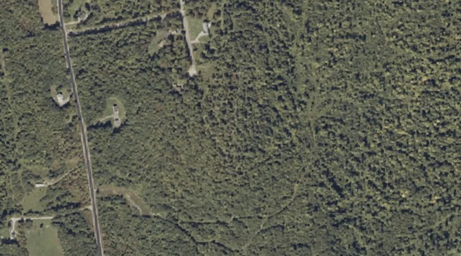
Philbrick Hill is a summit in Franklin County, Maine, located about 28.4 miles east of Chapman Inn in Bethel, Maine. It appears on the USGS Livermore Falls topographic…
Jackson Mountain is a summit in Franklin County, Maine, located about 28.0 miles north-northeast of Chapman Inn in Bethel, Maine. It appears on the USGS Jackson Mountain topographic…
Engine Hill is a summit in Coos County, New Hampshire, located about 28.1 miles west-southwest of Chapman Inn in Bethel, Maine. It appears on the USGS Stairs Mountain…
Dearborn Hill is a summit in Cumberland County, Maine, located about 28.1 miles south of Chapman Inn in Bethel, Maine. It appears on the USGS Bridgton topographic quadrangle.
Houghton Ledges is a summit in Franklin County, Maine, located about 28.2 miles northeast of Chapman Inn in Bethel, Maine. It appears on the USGS Weld topographic quadrangle.
Pigeon Hill is a summit in Androscoggin County, Maine, located about 27.9 miles southeast of Chapman Inn in Bethel, Maine. It appears on the USGS Mechanic Falls topographic…
Pottle Hill is a summit in Androscoggin County, Maine, located about 27.9 miles southeast of Chapman Inn in Bethel, Maine. It appears on the USGS Lake Auburn West…
Popple Mountain is a summit in Carroll County, New Hampshire, located about 27.9 miles southwest of Chapman Inn in Bethel, Maine. It appears on the USGS Jackson topographic…
York Hill is a summit in Franklin County, Maine, located about 27.9 miles northeast of Chapman Inn in Bethel, Maine. It appears on the USGS Mount Blue topographic…
Choate Hill is a summit in Cumberland County, Maine, located about 27.9 miles south of Chapman Inn in Bethel, Maine. It appears on the USGS Bridgton topographic quadrangle.