 Aerial imagery: USGS National Map (public domain)
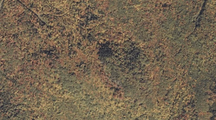
Houghton Ledges — Summits 28.2 Miles NE of Chapman Inn
Franklin County, Maine · USGS Weld Quadrangle · GNIS 568346
Within Franklin County, Maine, on the USGS Weld quadrangle, the summit known as Houghton Ledges sits 28.2 miles northeast of Chapman Inn.
Wikidata short description: “mountain in United States of America”
Landmark Profile
Classification & USGS reference
Within Franklin County, Maine, the U.S. Geological Survey lists Houghton Ledges as a summit on the Weld topographic quadrangle (FIPS 23/007), under Feature ID 568346. Last revised by the Board on Geographic Names on 08/06/2022.
Coordinates & physical setting
Houghton Ledges sits at 44.69216° N, 70.38355° W (DMS 44°41′32″ N, 70°23′01″ W).
Other summits in Franklin County, Maine
Franklin County, ME contains 129 summits catalogued in the USGS Geographic Names Information System, counting Houghton Ledges itself. The ones closest to Houghton Ledges:
| Feature | USGS Quadrangle | Elevation | Distance |
|---|---|---|---|
| Holt Hill | Weld | — | 0.8 mi |
| York Hill | Mount Blue | — | 1 mi |
| Chandler Hill | Mount Blue | — | 1.4 mi |
| Hedgehog Hill | Weld | — | 1.8 mi |
| Lakin Hill | Weld | — | 1.8 mi |
| Green Hill | Weld | — | 2.3 mi |
| Center Hill | Weld | — | 2.6 mi |
| Gleason Mountain | Mount Blue | — | 3 mi |
| Kinneys Head | Mount Blue | — | 3 mi |
| Mount Blue | Mount Blue | — | 3.2 mi |
Features on the USGS Weld Quadrangle
The Weld 7.5-minute topographic quadrangle holds 28 catalogued natural features alongside Houghton Ledges. A sampling nearest to this location:
| Feature | Type | County | Offset |
|---|---|---|---|
| Holt Hill | Summits | Franklin County, ME | 0.8 mi |
| Yeaton Brook | Streams | Franklin County, ME | 1.3 mi |
| Fran Brook | Streams | Franklin County, ME | 1.5 mi |
| Hedgehog Hill | Summits | Franklin County, ME | 1.8 mi |
| Lakin Hill | Summits | Franklin County, ME | 1.8 mi |
| Green Hill | Summits | Franklin County, ME | 2.3 mi |
| Parlin Brook | Streams | Franklin County, ME | 2.5 mi |
| Center Hill | Summits | Franklin County, ME | 2.6 mi |
| Bowley Brook | Streams | Franklin County, ME | 2.6 mi |
| Houghton Brook | Streams | Franklin County, ME | 2.7 mi |
Visiting from Chapman Inn
Distance, bearing & drive time
Follow the compass bearing NE out of Bethel for 28.2 miles (northeast) and you reach Houghton Ledges; at typical rural speeds the trip runs roughly 48 minutes.
Best time to visit
Accessible May through November in most years. Being this far north (lat 44.692°), first snows typically arrive by mid-October and linger into early May — narrow the window accordingly. At 28.2 miles from the Inn, block the full day — sunrise start, late return, packed meals. Conditions at Houghton Ledges track the nearby Holt Hill summit (0.8 mi away) closely — if that is runnable, so is this.
Nearest features to Houghton Ledges
| Feature | Type | County | Distance |
|---|---|---|---|
| Holt Hill | Summits | Franklin County, ME | 0.8 mi |
| York Hill | Summits | Franklin County, ME | 1 mi |
| Yeaton Brook | Streams | Franklin County, ME | 1.3 mi |
| Chandler Hill | Summits | Franklin County, ME | 1.4 mi |
| Alder Brook | Streams | Franklin County, ME | 1.4 mi |
Frequently Asked Questions
Where is Houghton Ledges located?
Houghton Ledges is in Franklin County, Maine, approximately 28.2 miles northeast of Chapman Inn in Bethel, Maine. It appears on the USGS Weld topographic quadrangle.
How far is Houghton Ledges from Chapman Inn?
The drive runs about 48 minutes, 28.2 miles northeast (bearing NE) of the Inn.
What type of natural feature is Houghton Ledges?
The U.S. Geological Survey classifies Houghton Ledges as a summit, catalogued under GNIS Feature ID 568346 on the Weld quadrangle.
When is the best time to visit Houghton Ledges?
Accessible May through November in most years.
How many other summits are in Franklin County, Maine?
GNIS lists 128 other summits in Franklin County, Maine.
Wikidata: Q33139788.