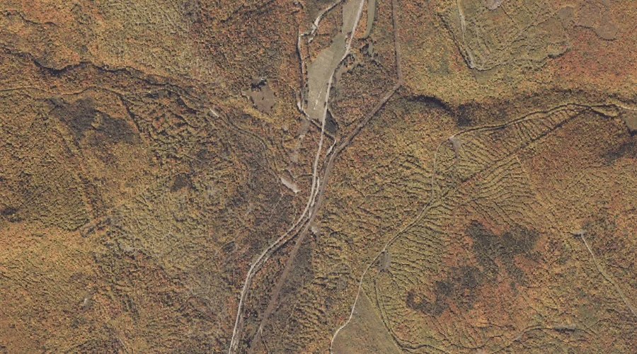
West Branch Swift River is a stream in Oxford County, Maine, located about 25.0 miles north-northeast of Chapman Inn in Bethel, Maine. It appears on the USGS Houghton…
Middle Brook is a stream in Carroll County, New Hampshire, located about 25.1 miles south-southwest of Chapman Inn in Bethel, Maine. It appears on the USGS North Conway…
Anderson Brook is a stream in Carroll County, New Hampshire, located about 24.5 miles south-southwest of Chapman Inn in Bethel, Maine. It appears on the USGS North Conway…
Snyder Brook is a stream in Coos County, New Hampshire, located about 24.6 miles west of Chapman Inn in Bethel, Maine. It appears on the USGS Mount Washington…
Burnt Knoll Brook is a stream in Carroll County, New Hampshire, located about 24.7 miles southwest of Chapman Inn in Bethel, Maine. It appears on the USGS Chatham…
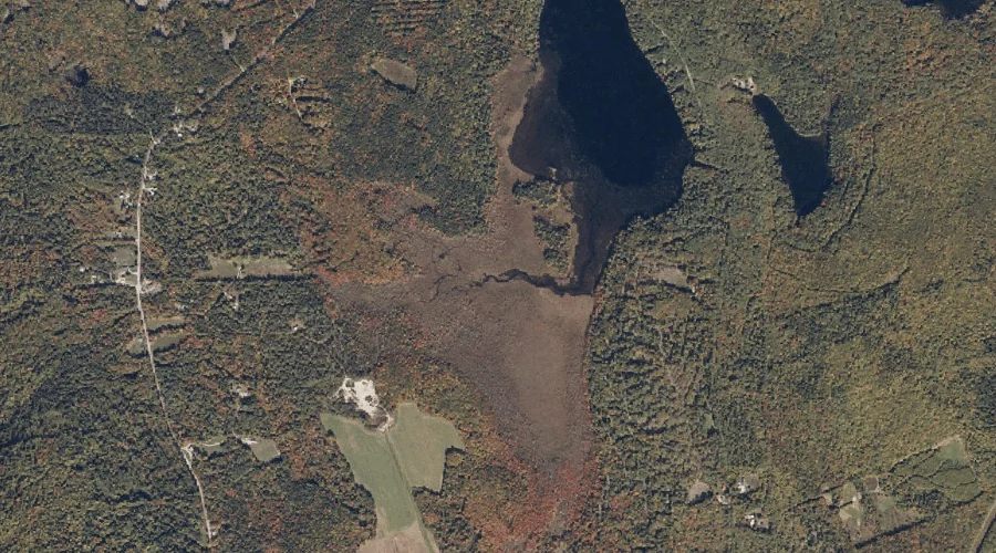
Willett Brook is a stream in Cumberland County, Maine, located about 24.8 miles south of Chapman Inn in Bethel, Maine. It appears on the USGS Bridgton topographic quadrangle.
Than Brook is a stream in Carroll County, New Hampshire, located about 24.4 miles southwest of Chapman Inn in Bethel, Maine. It appears on the USGS Jackson topographic…
Whitney Brook is a stream in Oxford County, Maine, located about 24.4 miles east of Chapman Inn in Bethel, Maine. It appears on the USGS Canton topographic quadrangle.
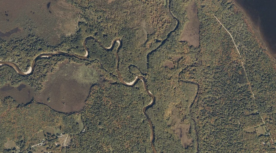
Old Course Saco River is a stream in Oxford County, Maine, located about 24.3 miles south-southwest of Chapman Inn in Bethel, Maine. It appears on the USGS Fryeburg…
Parapet Brook is a stream in Coos County, New Hampshire, located about 24.4 miles west-southwest of Chapman Inn in Bethel, Maine. It appears on the USGS Mount Washington…