Carsley Brook is a stream in Cumberland County, Maine, located about 23.9 miles south-southeast of Chapman Inn in Bethel, Maine. It appears on the USGS Bridgton topographic quadrangle.
Thompson Brook is a stream in Coos County, New Hampshire, located about 24.0 miles west-southwest of Chapman Inn in Bethel, Maine. It appears on the USGS Carter Dome…
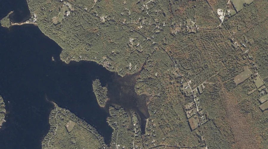
Jackson Brook is a stream in Oxford County, Maine, located about 24.0 miles south-southeast of Chapman Inn in Bethel, Maine. It appears on the USGS Casco topographic quadrangle.
Dead Cambridge River is a stream in Oxford County, Maine, located about 24.1 miles north-northwest of Chapman Inn in Bethel, Maine. It appears on the USGS Umbagog Lake…
East Branch Swift River is a stream in Oxford County, Maine, located about 24.1 miles north-northeast of Chapman Inn in Bethel, Maine. It appears on the USGS Ellis…
Carlton Brook is a stream in Coos County, New Hampshire, located about 24.1 miles west of Chapman Inn in Bethel, Maine. It appears on the USGS Mount Washington…
Bog Brook is a stream in Oxford County, Maine, located about 23.8 miles east of Chapman Inn in Bethel, Maine. It appears on the USGS Canton topographic quadrangle.
Bog Brook is a stream in Carroll County, New Hampshire, located about 23.8 miles west-southwest of Chapman Inn in Bethel, Maine. It appears on the USGS Jackson topographic…
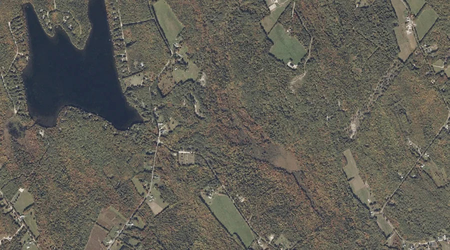
Dunham Brook is a stream in Oxford County, Maine, located about 23.8 miles southeast of Chapman Inn in Bethel, Maine. It appears on the USGS Oxford topographic quadrangle.
Swift Cambridge River is a stream in Oxford County, Maine, located about 23.8 miles north-northwest of Chapman Inn in Bethel, Maine. It appears on the USGS B Pond…