Anderson Brook is a stream in Franklin County, Maine, located about 28.0 miles northeast of Chapman Inn in Bethel, Maine. It appears on the USGS Mount Blue topographic…
Day Brook is a stream in Cumberland County, Maine, located about 28.1 miles south of Chapman Inn in Bethel, Maine. It appears on the USGS Bridgton topographic quadrangle.
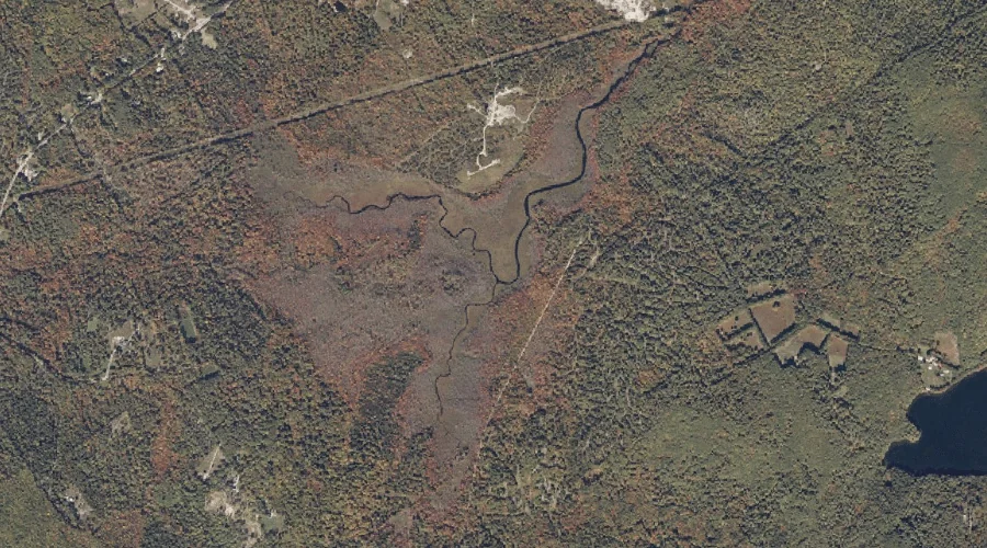
Townsend Brook is a stream in Franklin County, Maine, located about 28.1 miles northeast of Chapman Inn in Bethel, Maine. It appears on the USGS Mount Blue topographic…
Ellis River is a stream in Carroll County, New Hampshire, located about 28.1 miles southwest of Chapman Inn in Bethel, Maine. It appears on the USGS North Conway…
Higgins Brook is a stream in Coos County, New Hampshire, located about 28.2 miles west-northwest of Chapman Inn in Bethel, Maine. It appears on the USGS West Milan…
Cold Brook is a stream in Coos County, New Hampshire, located about 27.9 miles west-northwest of Chapman Inn in Bethel, Maine. It appears on the USGS West Milan…
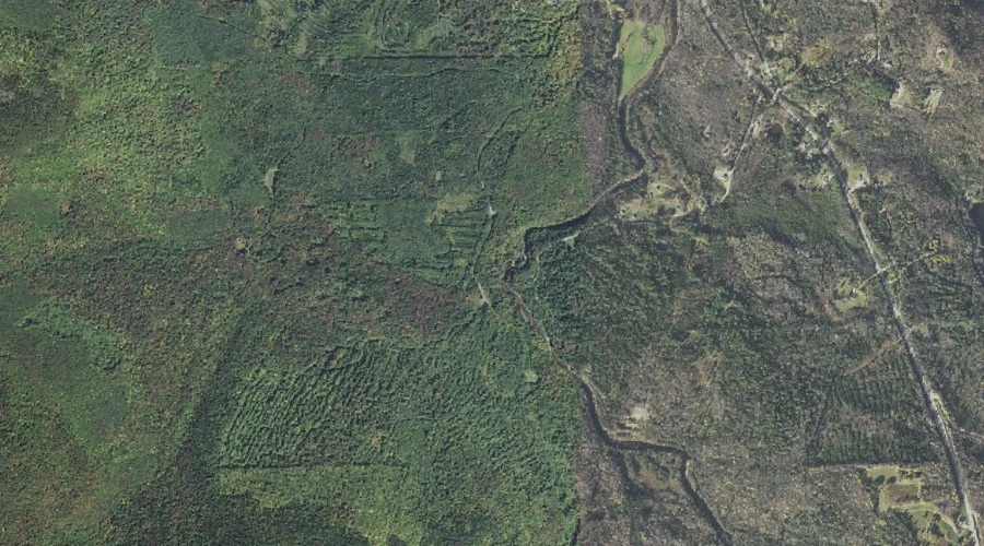
House Brook is a stream in Androscoggin County, Maine, located about 27.7 miles east-southeast of Chapman Inn in Bethel, Maine. It appears on the USGS Turner Center topographic…
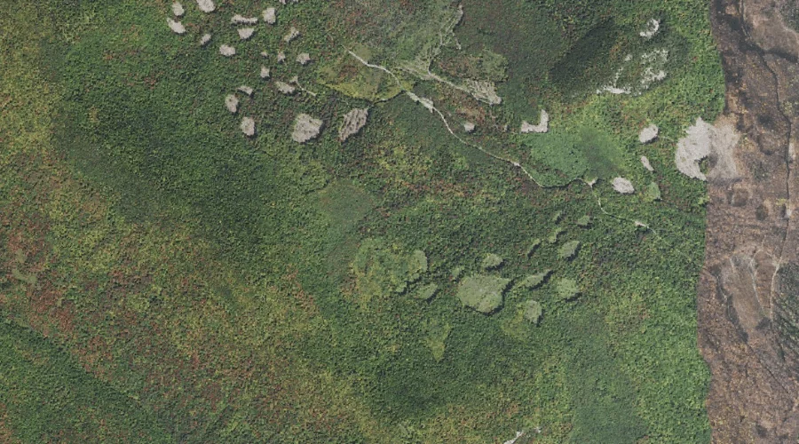
Island Brook is a stream in Coos County, New Hampshire, located about 27.8 miles northwest of Chapman Inn in Bethel, Maine. It appears on the USGS Teakettle Ridge…
Beals Brook is a stream in Androscoggin County, Maine, located about 27.8 miles east of Chapman Inn in Bethel, Maine. It appears on the USGS Livermore Falls topographic…
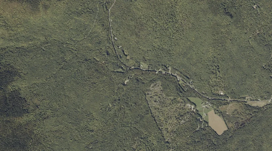
Sevenmile Stream is a stream in Franklin County, Maine, located about 27.6 miles east-northeast of Chapman Inn in Bethel, Maine. It appears on the USGS Wilton topographic quadrangle.