Rowells Brook is a stream in Coos County, New Hampshire, located about 33.1 miles west-northwest of Chapman Inn in Bethel, Maine. It appears on the USGS Stark topographic…
Clark Brook is a stream in Carroll County, New Hampshire, located about 33.1 miles south-southwest of Chapman Inn in Bethel, Maine. It appears on the USGS Conway topographic…
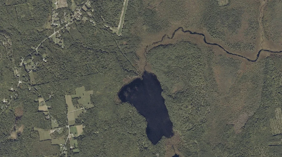
Leavitt Brook is a stream in Cumberland County, Maine, located about 33.1 miles south-southeast of Chapman Inn in Bethel, Maine. It appears on the USGS North Sebago topographic…
Razor Brook is a stream in Coos County, New Hampshire, located about 33.2 miles southwest of Chapman Inn in Bethel, Maine. It appears on the USGS Bartlett topographic…
Robinson Brook is a stream in Cumberland County, Maine, located about 33.0 miles south-southeast of Chapman Inn in Bethel, Maine. It appears on the USGS Raymond topographic quadrangle.
Edwards Brook is a stream in Androscoggin County, Maine, located about 33.0 miles south-southeast of Chapman Inn in Bethel, Maine. It appears on the USGS Raymond topographic quadrangle.
Moose Pond Brook is a stream in Oxford County, Maine, located about 33.0 miles south of Chapman Inn in Bethel, Maine. It appears on the USGS Hiram topographic…
Billy Brook is a stream in Oxford County, Maine, located about 33.0 miles south-southwest of Chapman Inn in Bethel, Maine. It appears on the USGS Brownfield topographic quadrangle.
Nash Brook is a stream in Franklin County, Maine, located about 33.0 miles east-northeast of Chapman Inn in Bethel, Maine. It appears on the USGS Wilton topographic quadrangle.
James Brook is a stream in Franklin County, Maine, located about 32.7 miles east-northeast of Chapman Inn in Bethel, Maine. It appears on the USGS Wilton topographic quadrangle.