Hodgkins Brook is a stream in Androscoggin County, Maine, located about 32.3 miles southeast of Chapman Inn in Bethel, Maine. It appears on the USGS Minot topographic quadrangle.
West Branch Mill Brook is a stream in Coos County, New Hampshire, located about 32.4 miles west-northwest of Chapman Inn in Bethel, Maine. It appears on the USGS…
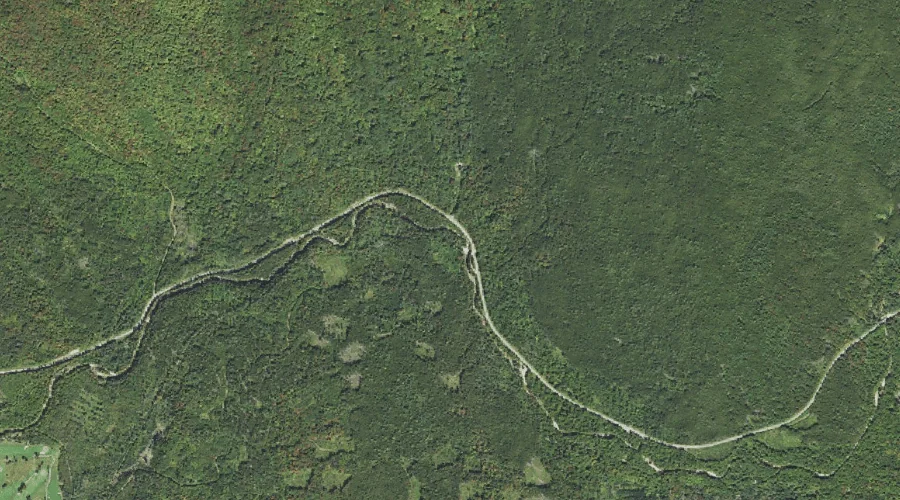
Toothaker Brook is a stream in Franklin County, Maine, located about 32.4 miles north of Chapman Inn in Bethel, Maine. It appears on the USGS Houghton topographic quadrangle.
Lakin Brook is a stream in Cumberland County, Maine, located about 32.4 miles south of Chapman Inn in Bethel, Maine. It appears on the USGS North Sebago topographic…
Hickey Brook is a stream in Coos County, New Hampshire, located about 32.4 miles west-northwest of Chapman Inn in Bethel, Maine. It appears on the USGS Stark topographic…
Muddy River is a stream in Cumberland County, Maine, located about 32.4 miles south-southeast of Chapman Inn in Bethel, Maine. It appears on the USGS North Sebago topographic…
Weeman Brook is a stream in Cumberland County, Maine, located about 32.3 miles south of Chapman Inn in Bethel, Maine. It appears on the USGS North Sebago topographic…
Abenaki Brook is a stream in Coos County, New Hampshire, located about 32.0 miles west-southwest of Chapman Inn in Bethel, Maine. It appears on the USGS Mount Dartmouth…
East Branch Mill Brook is a stream in Coos County, New Hampshire, located about 32.1 miles west-northwest of Chapman Inn in Bethel, Maine. It appears on the USGS…
Halfway Brook is a stream in Coos County, New Hampshire, located about 32.1 miles west-southwest of Chapman Inn in Bethel, Maine. It appears on the USGS Mount Dartmouth…