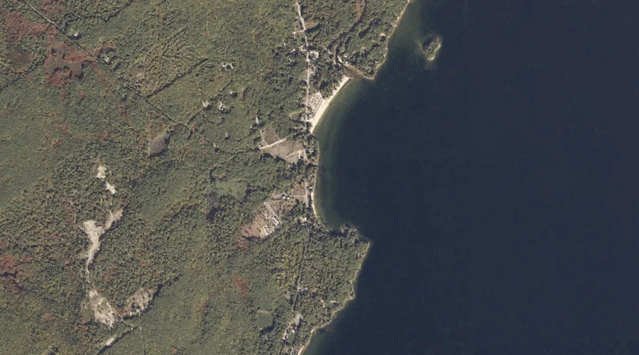
Nason Brook is a stream in Cumberland County, Maine, located about 36.8 miles south-southeast of Chapman Inn in Bethel, Maine. It appears on the USGS North Sebago topographic…
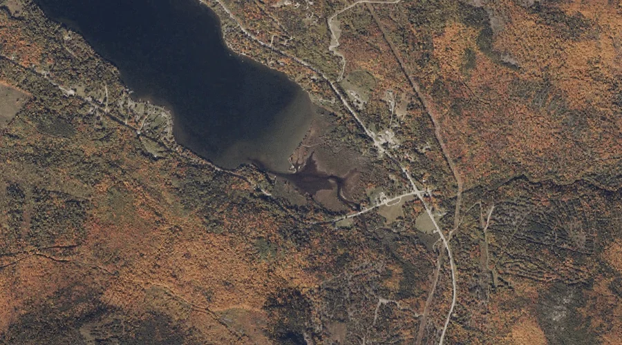
Long Pond Stream is a stream in Franklin County, Maine, located about 36.9 miles north-northeast of Chapman Inn in Bethel, Maine. It appears on the USGS Saddleback Mountain…
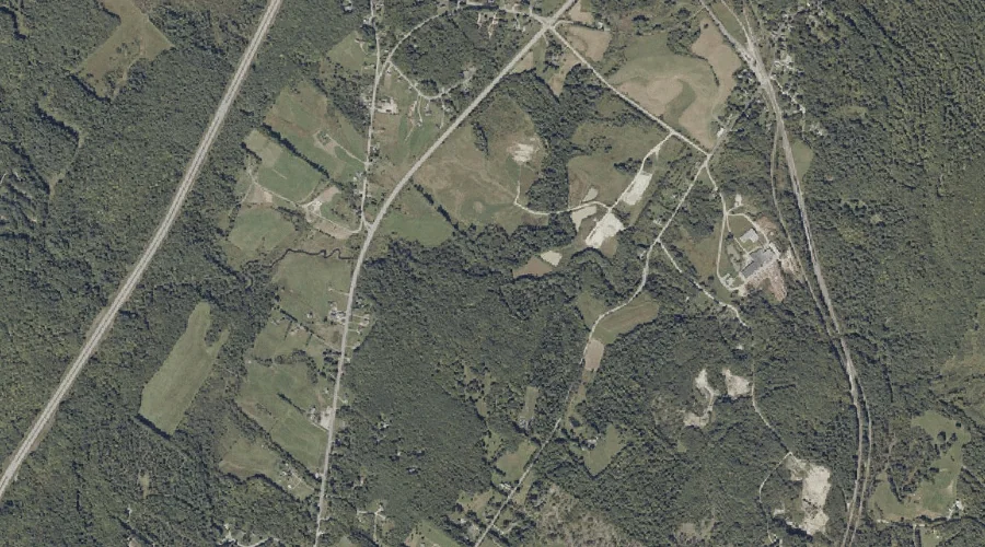
Moose Brook is a stream in Androscoggin County, Maine, located about 36.9 miles southeast of Chapman Inn in Bethel, Maine. It appears on the USGS Minot topographic quadrangle.
Whipple Brook is a stream in Coos County, New Hampshire, located about 36.6 miles west of Chapman Inn in Bethel, Maine. It appears on the USGS Groveton topographic…
East Branch Swift Diamond River is a stream in Coos County, New Hampshire, located about 36.6 miles north-northwest of Chapman Inn in Bethel, Maine. It appears on the…
Larrys Brook is a stream in Coos County, New Hampshire, located about 36.6 miles north-northwest of Chapman Inn in Bethel, Maine. It appears on the USGS Errol topographic…
Cottle Brook is a stream in Franklin County, Maine, located about 36.6 miles north-northeast of Chapman Inn in Bethel, Maine. It appears on the USGS Madrid topographic quadrangle.
Number Three Brook is a stream in Coos County, New Hampshire, located about 36.7 miles northwest of Chapman Inn in Bethel, Maine. It appears on the USGS Dixville…
Barker Stream is a stream in Franklin County, Maine, located about 36.7 miles east-northeast of Chapman Inn in Bethel, Maine. It appears on the USGS Farmington topographic quadrangle.
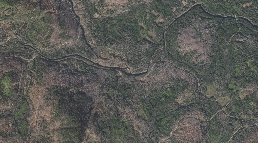
Nash Stream is a stream in Coos County, New Hampshire, located about 36.7 miles west-northwest of Chapman Inn in Bethel, Maine. It appears on the USGS Percy Peaks…