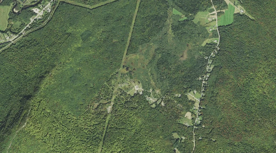
Ai Brook is a stream in Cumberland County, Maine, located about 37.3 miles south-southeast of Chapman Inn in Bethel, Maine. It appears on the USGS Raymond topographic quadrangle.
Steam Mill Brook is a stream in Carroll County, New Hampshire, located about 37.1 miles southwest of Chapman Inn in Bethel, Maine. It appears on the USGS Mount…
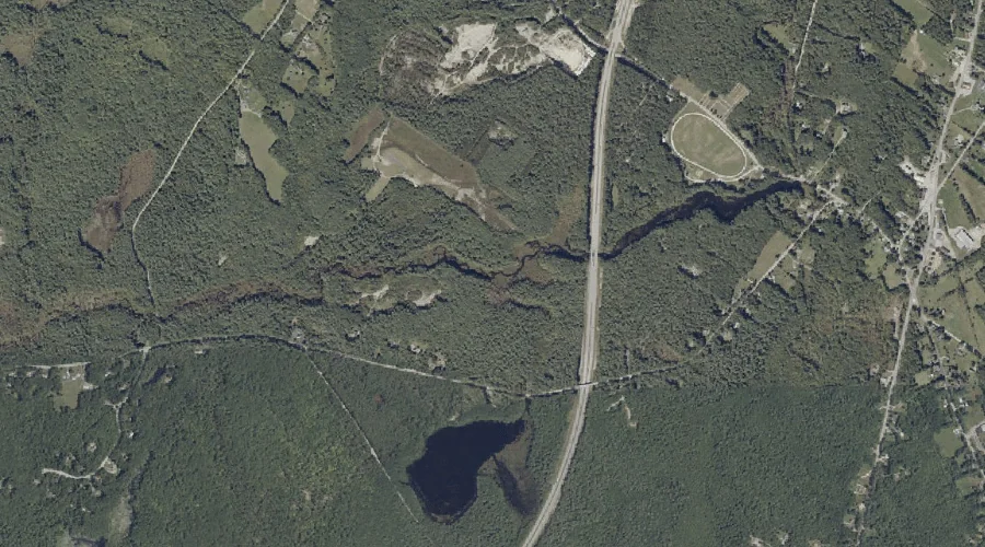
Lily Pond Brook is a stream in Cumberland County, Maine, located about 37.1 miles southeast of Chapman Inn in Bethel, Maine. It appears on the USGS Gray topographic…
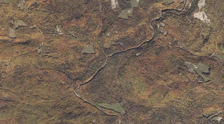
Conant Stream is a stream in Franklin County, Maine, located about 37.1 miles north-northeast of Chapman Inn in Bethel, Maine. It appears on the USGS Redington topographic quadrangle.
Ames Brook is a stream in Coos County, New Hampshire, located about 37.1 miles west-northwest of Chapman Inn in Bethel, Maine. It appears on the USGS Stark topographic…
Moore Brook is a stream in Coos County, New Hampshire, located about 37.2 miles west-northwest of Chapman Inn in Bethel, Maine. It appears on the USGS Groveton topographic…
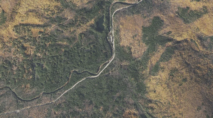
Zealand River is a stream in Coos County, New Hampshire, located about 36.9 miles west-southwest of Chapman Inn in Bethel, Maine. It appears on the USGS Twin Mountain…
Dingley Brook is a stream in Cumberland County, Maine, located about 37.1 miles south-southeast of Chapman Inn in Bethel, Maine. It appears on the USGS Naples topographic quadrangle.
Black Brook is a stream in Coos County, New Hampshire, located about 36.8 miles west-southwest of Chapman Inn in Bethel, Maine. It appears on the USGS Twin Mountain…
Little Norridgewock Stream is a stream in Franklin County, Maine, located about 36.8 miles east-northeast of Chapman Inn in Bethel, Maine. It appears on the USGS Farmington Falls…