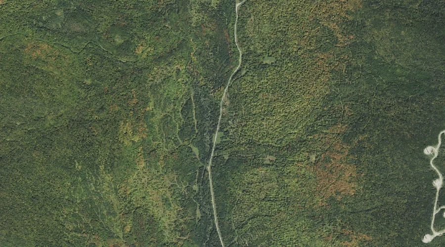
Kelly Brook is a stream in Coos County, New Hampshire, located about 38.4 miles northwest of Chapman Inn in Bethel, Maine. It appears on the USGS Dixville Notch…
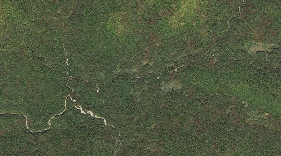
Norcross Brook is a stream in Grafton County, New Hampshire, located about 38.4 miles west-southwest of Chapman Inn in Bethel, Maine. It appears on the USGS Mount Carrigain…
Notch Brook is a stream in Grafton County, New Hampshire, located about 38.4 miles west-southwest of Chapman Inn in Bethel, Maine. It appears on the USGS Mount Carrigain…
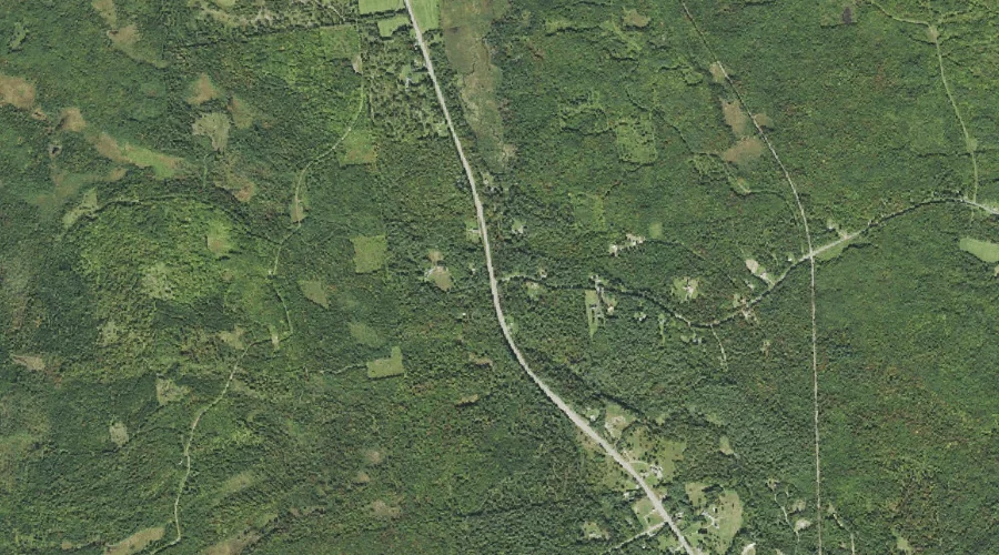
Carter Brook is a stream in Coos County, New Hampshire, located about 38.5 miles west of Chapman Inn in Bethel, Maine. It appears on the USGS Twin Mountain…
Sucker Brook is a stream in Cumberland County, Maine, located about 38.6 miles south-southeast of Chapman Inn in Bethel, Maine. It appears on the USGS Raymond topographic quadrangle.
Potter Brook is a stream in Coos County, New Hampshire, located about 38.2 miles west-northwest of Chapman Inn in Bethel, Maine. It appears on the USGS Groveton topographic…
Tuttle Brook is a stream in Grafton County, New Hampshire, located about 38.2 miles west-southwest of Chapman Inn in Bethel, Maine. It appears on the USGS Twin Mountain…
Wells Brook is a stream in Coos County, New Hampshire, located about 38.3 miles northwest of Chapman Inn in Bethel, Maine. It appears on the USGS Dixville Notch…
Gardner Brook is a stream in Kennebec County, Maine, located about 38.3 miles east of Chapman Inn in Bethel, Maine. It appears on the USGS Wayne topographic quadrangle.
Jones Brook is a stream in Kennebec County, Maine, located about 38.3 miles east of Chapman Inn in Bethel, Maine. It appears on the USGS Wayne topographic quadrangle.