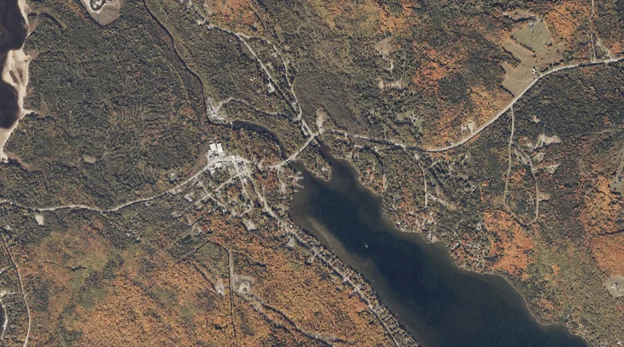
Rangeley River is a stream in Franklin County, Maine, located about 38.7 miles north of Chapman Inn in Bethel, Maine. It appears on the USGS Oquossoc topographic quadrangle.
Winship Stream is a stream in Franklin County, Maine, located about 38.7 miles north-northeast of Chapman Inn in Bethel, Maine. It appears on the USGS Redington topographic quadrangle.
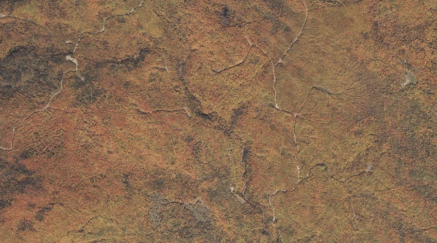
Loomis Valley Brook is a stream in Coos County, New Hampshire, located about 38.8 miles north-northwest of Chapman Inn in Bethel, Maine. It appears on the USGS Wilsons…
Dixie Brook is a stream in Coos County, New Hampshire, located about 38.8 miles north-northwest of Chapman Inn in Bethel, Maine. It appears on the USGS Mount Pisgah…
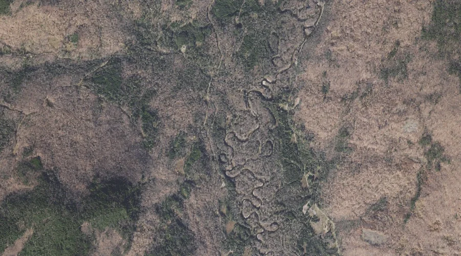
South Valley Brook is a stream in Coos County, New Hampshire, located about 38.6 miles north-northwest of Chapman Inn in Bethel, Maine. It appears on the USGS Mount…
Rocky Brook is a stream in Coos County, New Hampshire, located about 38.6 miles northwest of Chapman Inn in Bethel, Maine. It appears on the USGS Dixville Notch…
Northwest River is a stream in Cumberland County, Maine, located about 38.7 miles south-southeast of Chapman Inn in Bethel, Maine. It appears on the USGS Steep Falls topographic…
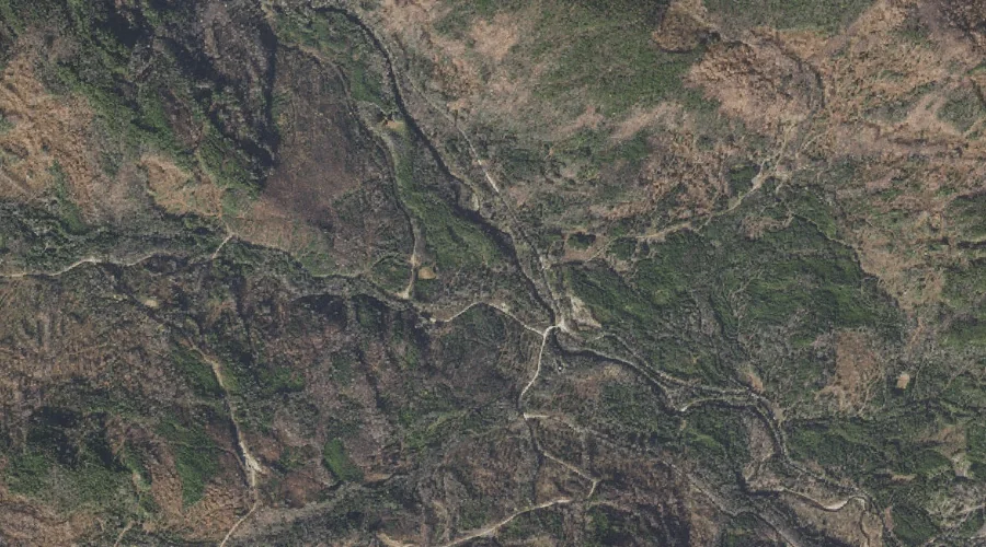
Carrigain Brook is a stream in Grafton County, New Hampshire, located about 38.7 miles southwest of Chapman Inn in Bethel, Maine. It appears on the USGS Mount Carrigain…
Douglas Brook is a stream in Carroll County, New Hampshire, located about 38.7 miles southwest of Chapman Inn in Bethel, Maine. It appears on the USGS Mount Chocorua…
Hopkins Stream is a stream in Kennebec County, Maine, located about 38.7 miles east of Chapman Inn in Bethel, Maine. It appears on the USGS Fayette topographic quadrangle.