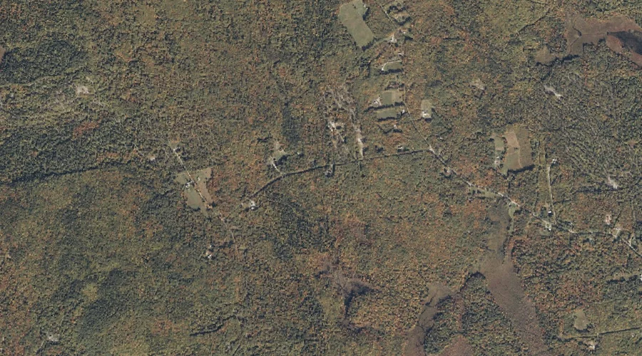
Chandler Brook is a stream in Carroll County, New Hampshire, located about 16.4 miles southwest of Chapman Inn in Bethel, Maine. It appears on the USGS Chatham topographic…
Howard Brook is a stream in Oxford County, Maine, located about 16.4 miles south-southwest of Chapman Inn in Bethel, Maine. It appears on the USGS Center Lovell topographic…
Rattle River is a stream in Coos County, New Hampshire, located about 15.9 miles west of Chapman Inn in Bethel, Maine. It appears on the USGS Shelburne topographic…
Scotty Brook is a stream in Oxford County, Maine, located about 15.9 miles northeast of Chapman Inn in Bethel, Maine. It appears on the USGS Rumford topographic quadrangle.
Moriah Brook is a stream in Coos County, New Hampshire, located about 16.0 miles west-southwest of Chapman Inn in Bethel, Maine. It appears on the USGS Wild River…
Russell Brook is a stream in Oxford County, Maine, located about 16.0 miles east of Chapman Inn in Bethel, Maine. It appears on the USGS Worthley Pond topographic…
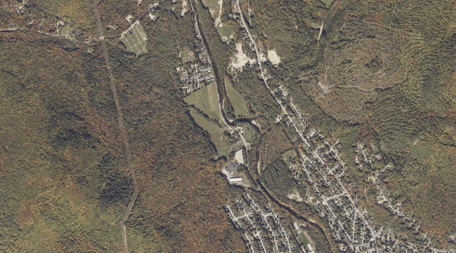
Swift River is a stream in Oxford County, Maine, located about 15.9 miles northeast of Chapman Inn in Bethel, Maine. It appears on the USGS Rumford topographic quadrangle.
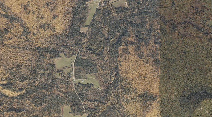
Kedar Brook is a stream in Oxford County, Maine, located about 15.9 miles south-southeast of Chapman Inn in Bethel, Maine. It appears on the USGS Waterford Flat topographic…
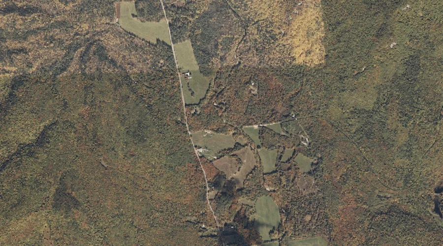
Shell Pond Brook is a stream in Oxford County, New Hampshire, located about 15.6 miles southwest of Chapman Inn in Bethel, Maine. It appears on the USGS Chatham…
Mill Brook is a stream in Carroll County, New Hampshire, located about 15.6 miles southwest of Chapman Inn in Bethel, Maine. It appears on the USGS Chatham topographic…