Horseshoe Brook is a stream in Oxford County, Maine, located about 15.7 miles north-northeast of Chapman Inn in Bethel, Maine. It appears on the USGS Ellis Pond topographic…
Charles Brook is a stream in Coos County, New Hampshire, located about 15.8 miles southwest of Chapman Inn in Bethel, Maine. It appears on the USGS Chatham topographic…
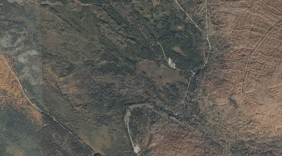
Peabody Brook is a stream in Coos County, New Hampshire, located about 15.5 miles west of Chapman Inn in Bethel, Maine. It appears on the USGS Shelburne topographic…
Shelter Brook is a stream in Oxford County, New Hampshire, located about 15.5 miles northwest of Chapman Inn in Bethel, Maine. It appears on the USGS Success Pond…
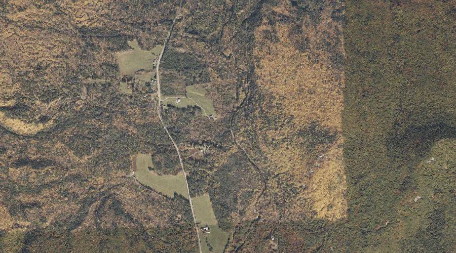
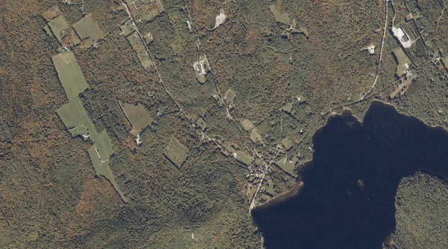
Kingman Brook is a stream in Oxford County, Maine, located about 15.5 miles south-southeast of Chapman Inn in Bethel, Maine. It appears on the USGS Waterford Flat topographic…
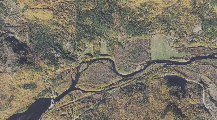
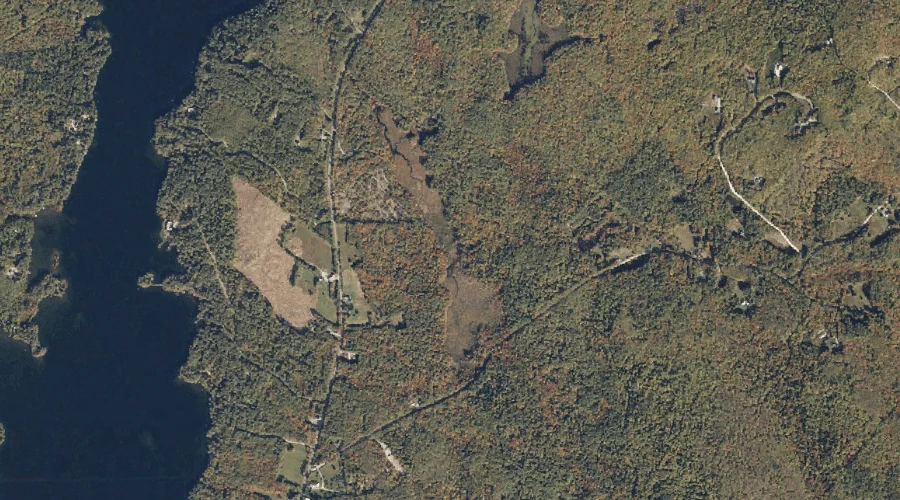
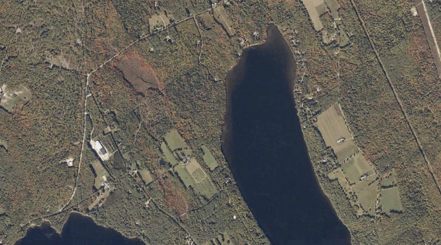
Martin Brook is a stream in Oxford County, Maine, located about 15.3 miles south-southwest of Chapman Inn in Bethel, Maine. It appears on the USGS Center Lovell topographic…
Morse Brook is a stream in Oxford County, Maine, located about 15.4 miles south-southeast of Chapman Inn in Bethel, Maine. It appears on the USGS Waterford Flat topographic…
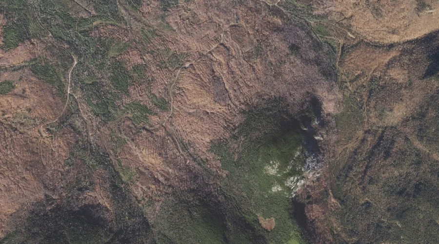
Larry Flume is a stream in Coos County, New Hampshire, located about 15.1 miles west-northwest of Chapman Inn in Bethel, Maine. It appears on the USGS Shelburne topographic…
Mill Brook is a stream in Oxford County, Maine, located about 15.1 miles south-southwest of Chapman Inn in Bethel, Maine. It appears on the USGS Center Lovell topographic…
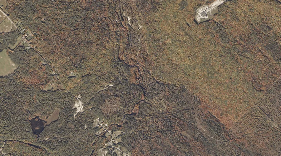
Logan Brook is a stream in Oxford County, Maine, located about 15.1 miles northeast of Chapman Inn in Bethel, Maine. It appears on the USGS Rumford topographic quadrangle.