Kidder Brook is a stream in Coos County, New Hampshire, located about 17.3 miles west of Chapman Inn in Bethel, Maine. It appears on the USGS Berlin topographic…
Meadow Brook is a stream in Oxford County, Maine, located about 17.0 miles north-northeast of Chapman Inn in Bethel, Maine. It appears on the USGS Ellis Pond topographic…
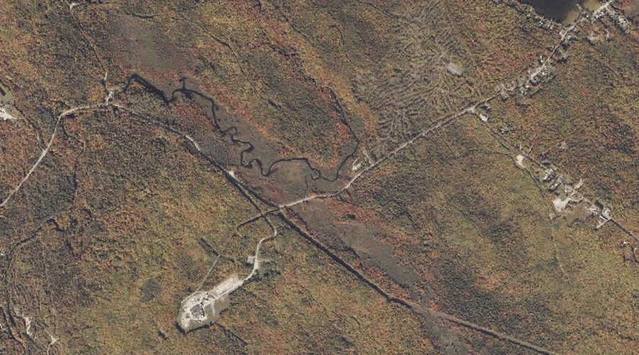
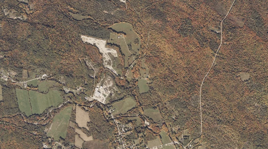
Josh Brook is a stream in Coos County, New Hampshire, located about 17.2 miles west of Chapman Inn in Bethel, Maine. It appears on the USGS Berlin topographic…
South Branch Horne Brook is a stream in Coos County, New Hampshire, located about 16.7 miles west-northwest of Chapman Inn in Bethel, Maine. It appears on the USGS…
North Branch Horne Brook is a stream in Coos County, New Hampshire, located about 16.7 miles west-northwest of Chapman Inn in Bethel, Maine. It appears on the USGS…
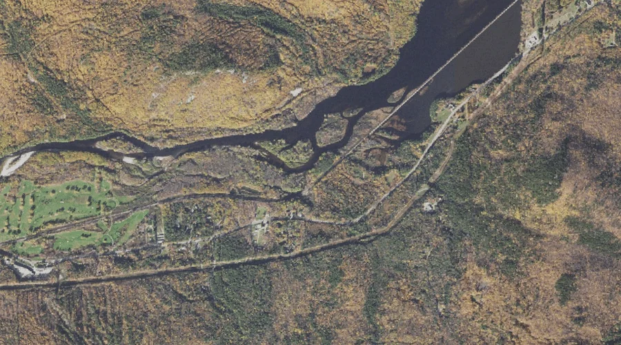
Sawyer Brook is a stream in Oxford County, Maine, located about 16.8 miles north of Chapman Inn in Bethel, Maine. It appears on the USGS Andover topographic quadrangle.
Schoolhouse Brook is a stream in Coos County, New Hampshire, located about 16.8 miles west of Chapman Inn in Bethel, Maine. It appears on the USGS Berlin topographic…
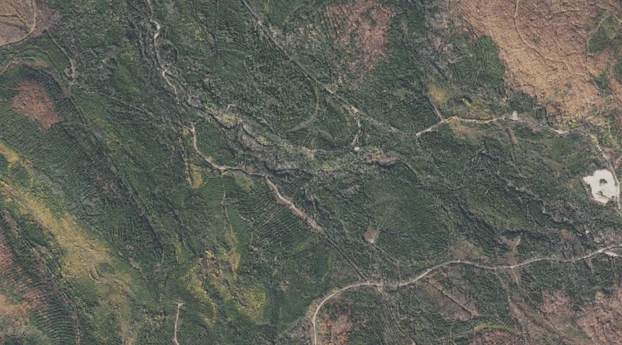
Black Brook is a stream in Oxford County, Maine, located about 16.9 miles north-northeast of Chapman Inn in Bethel, Maine. It appears on the USGS Ellis Pond topographic…
Bradley Brook is a stream in Oxford County, Maine, located about 16.9 miles south-southwest of Chapman Inn in Bethel, Maine. It appears on the USGS Center Lovell topographic…
Bogg Brook is a stream in Oxford County, Maine, located about 17.0 miles southeast of Chapman Inn in Bethel, Maine. It appears on the USGS Norway topographic quadrangle.