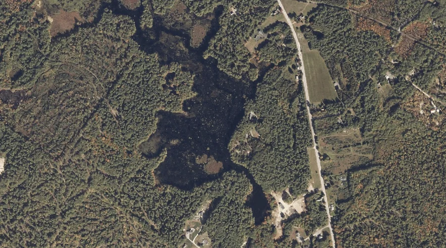
Horne Pond is a reservoir in York County, Maine, located about 44.0 miles south of Chapman Inn in Bethel, Maine. It appears on the USGS Steep Falls topographic…
Woodbury Pond is a reservoir in Kennebec County, Maine, located about 43.8 miles east-southeast of Chapman Inn in Bethel, Maine. It appears on the USGS Purgatory topographic quadrangle.
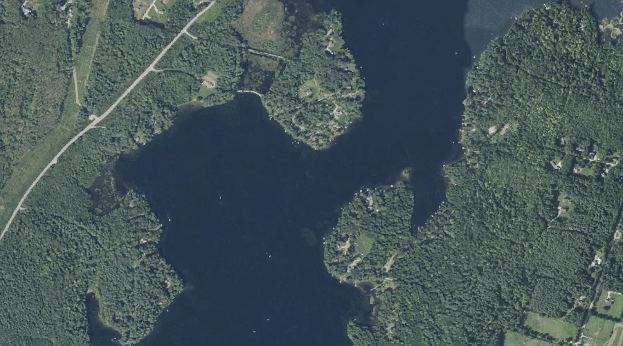
Eel Weir Canal is a reservoir in Cumberland County, Maine, located about 43.9 miles south-southeast of Chapman Inn in Bethel, Maine. It appears on the USGS North Windham…
Bauds Pond is a reservoir in Franklin County, Maine, located about 43.9 miles northeast of Chapman Inn in Bethel, Maine. It appears on the USGS New Vineyard topographic…
Carleton Pond is a reservoir in Kennebec County, Maine, located about 43.7 miles east of Chapman Inn in Bethel, Maine. It appears on the USGS Winthrop topographic quadrangle.
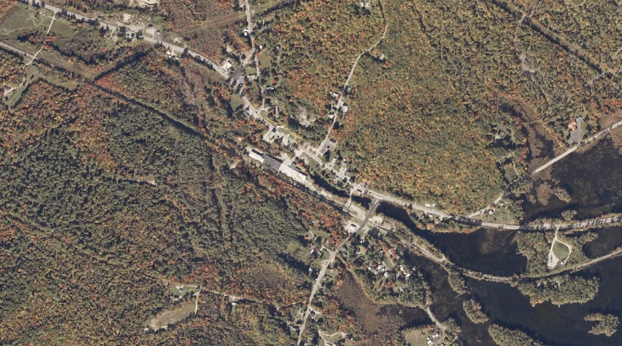
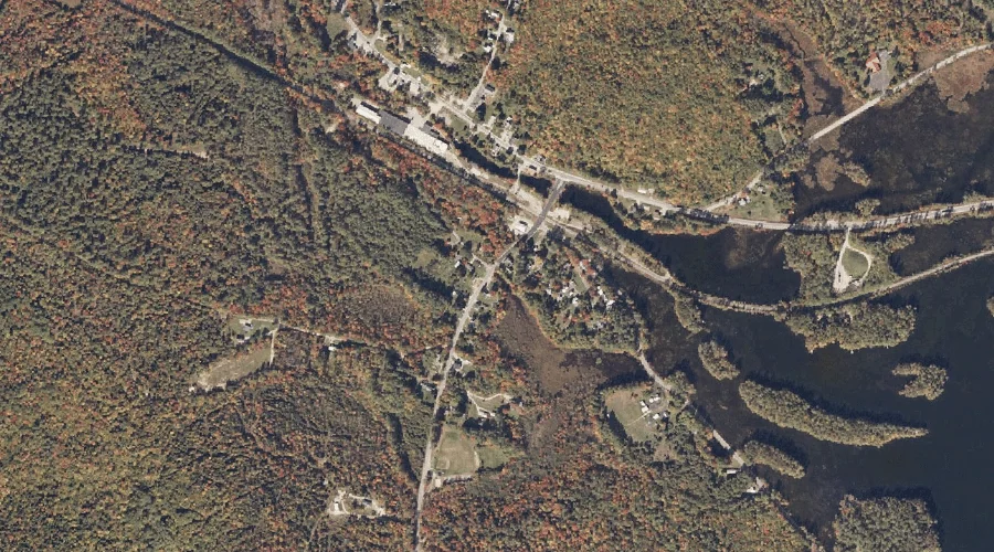
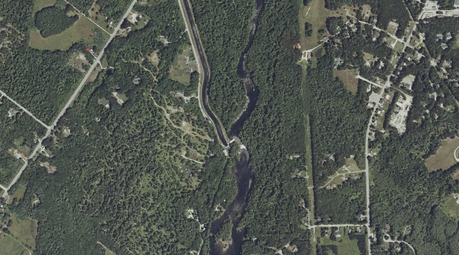
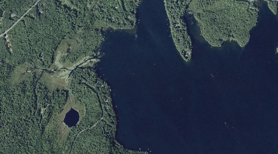
Rich Millpond is a reservoir in Cumberland County, Maine, located about 43.7 miles south-southeast of Chapman Inn in Bethel, Maine. It appears on the USGS Sebago Lake topographic…
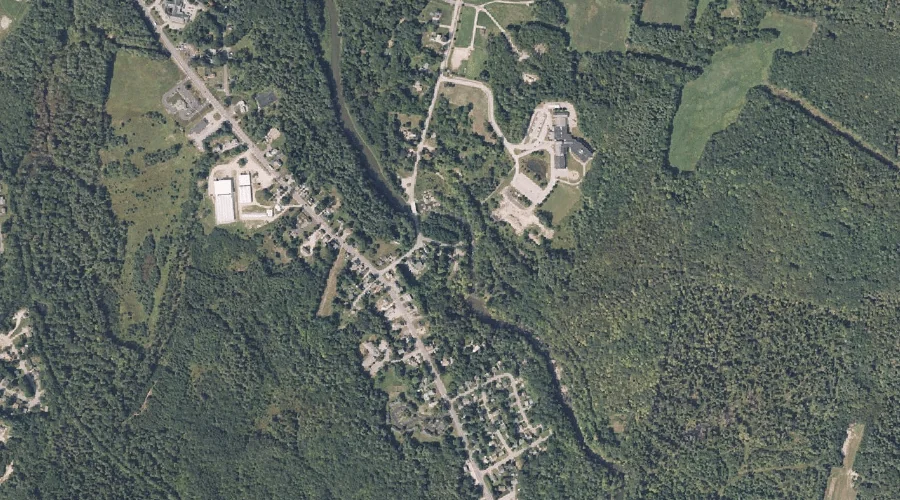
Sabattus River Reservoir is a reservoir in Androscoggin County, Maine, located about 43.6 miles southeast of Chapman Inn in Bethel, Maine. It appears on the USGS Lisbon Falls…
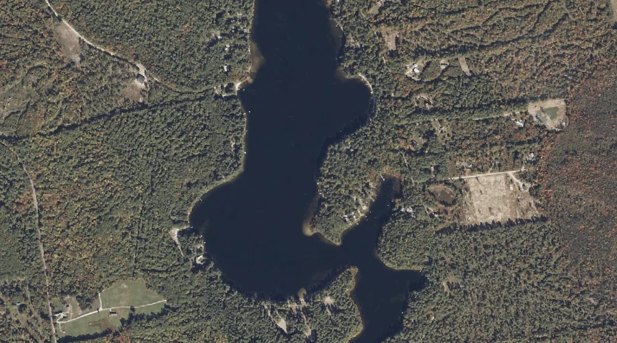
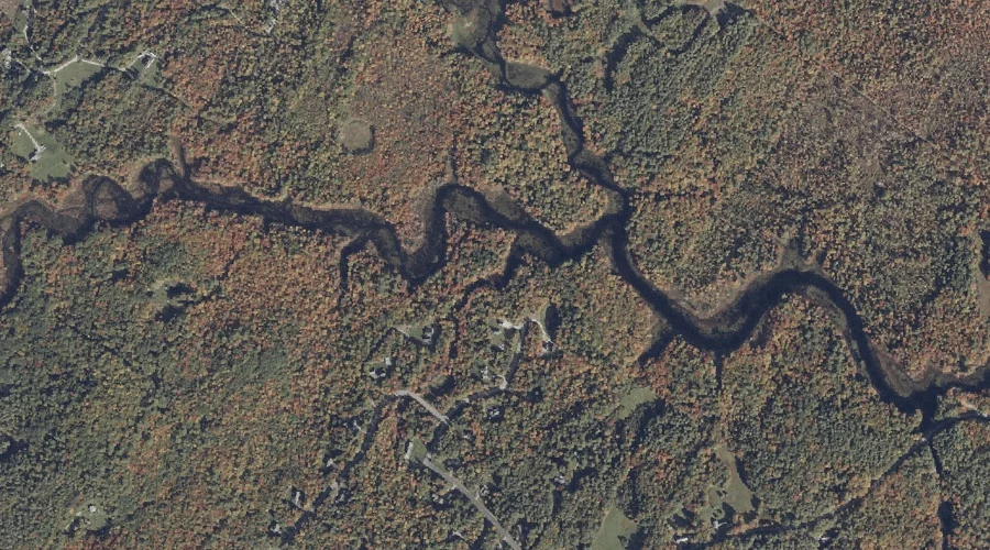
Long Pond is a reservoir in Kennebec County, Maine, located about 43.3 miles east of Chapman Inn in Bethel, Maine. It appears on the USGS Belgrade Lakes topographic…
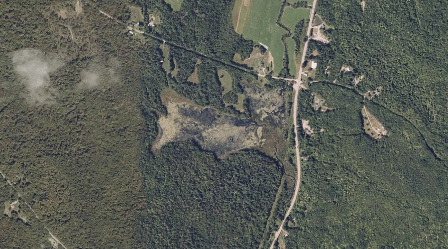
Runaround Pond is a reservoir in Androscoggin County, Maine, located about 43.3 miles southeast of Chapman Inn in Bethel, Maine. It appears on the USGS North Pownal topographic…
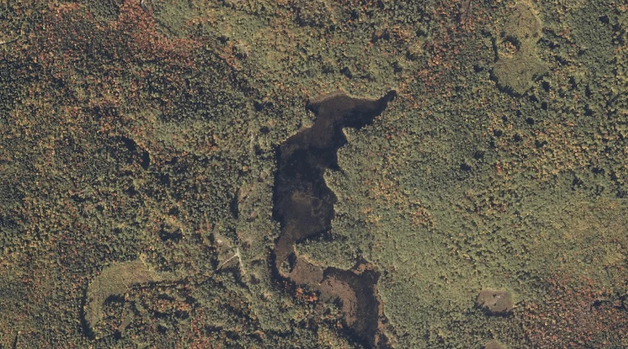
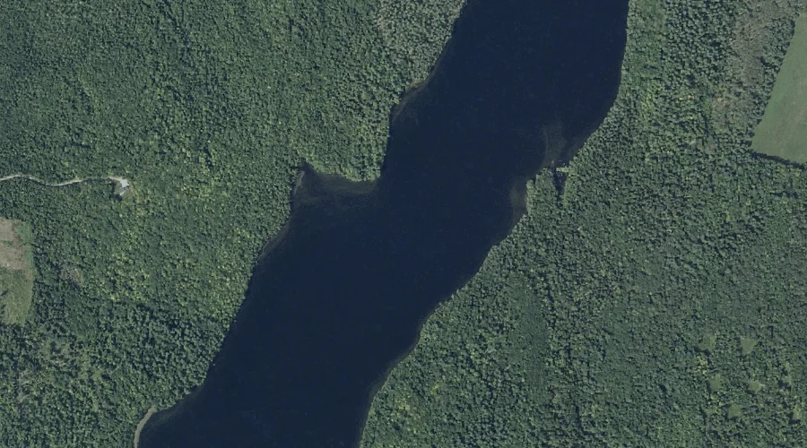
Mill Pond is a reservoir in Cumberland County, Maine, located about 43.0 miles south-southeast of Chapman Inn in Bethel, Maine. It appears on the USGS North Windham topographic…