Androscoggin River Reservoir is a reservoir in Androscoggin County, Maine, located about 45.8 miles southeast of Chapman Inn in Bethel, Maine. It appears on the USGS Lisbon Falls…
Mill Pond is a reservoir in Kennebec County, Maine, located about 45.9 miles east-southeast of Chapman Inn in Bethel, Maine. It appears on the USGS Purgatory topographic quadrangle.
Webster Millpond is a reservoir in York County, Maine, located about 45.5 miles south of Chapman Inn in Bethel, Maine. It appears on the USGS Steep Falls topographic…
Cobbosseecontee Stream Reservoir is a reservoir in Kennebec County, Maine, located about 45.5 miles east-southeast of Chapman Inn in Bethel, Maine. It appears on the USGS Purgatory topographic…
Great Pond is a reservoir in Kennebec County, Maine, located about 45.2 miles east-northeast of Chapman Inn in Bethel, Maine. It appears on the USGS Belgrade Lakes topographic…
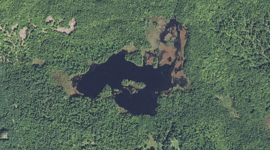
Great Hill Pond is a reservoir in Carroll County, New Hampshire, located about 44.7 miles southwest of Chapman Inn in Bethel, Maine. It appears on the USGS Mount…
Gilman Dam Pond is a reservoir in Kennebec County, Maine, located about 44.4 miles east-southeast of Chapman Inn in Bethel, Maine. It appears on the USGS Purgatory topographic…
Tacoma Lakes is a reservoir in Kennebec County, Maine, located about 44.2 miles east-southeast of Chapman Inn in Bethel, Maine. It appears on the USGS Purgatory topographic quadrangle.
Berry Bay is a reservoir in Carroll County, New Hampshire, located about 44.2 miles south-southwest of Chapman Inn in Bethel, Maine. It appears on the USGS Freedom topographic…
Horne Pond is a reservoir in York County, Maine, located about 44.0 miles south of Chapman Inn in Bethel, Maine. It appears on the USGS Steep Falls topographic…