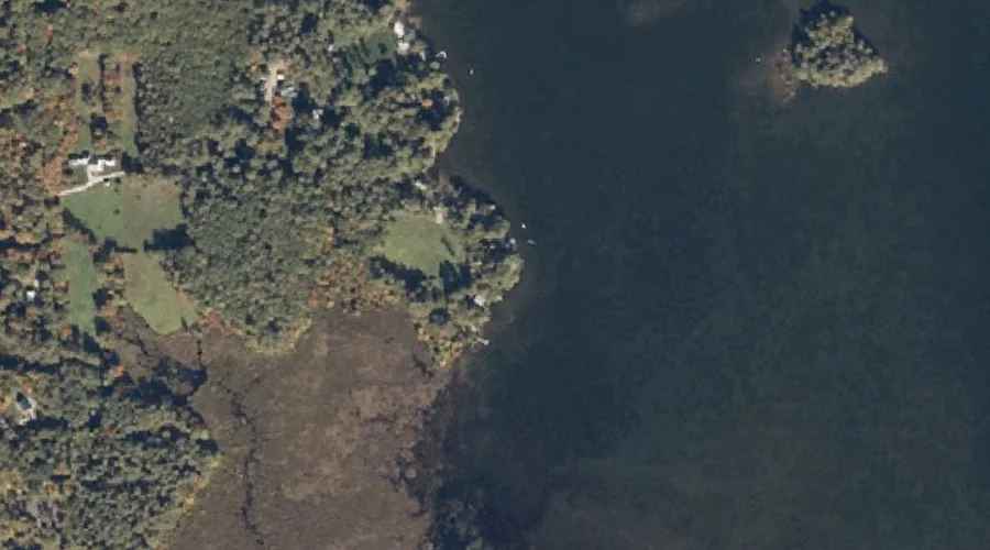
Long Point is a cape in Cumberland County, Maine, located about 28.7 miles south-southeast of Chapman Inn in Bethel, Maine. It appears on the USGS Bridgton topographic quadrangle.
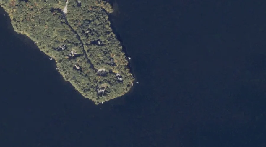
Portland Point is a cape in Oxford County, Maine, located about 28.2 miles north of Chapman Inn in Bethel, Maine. It appears on the USGS Middle Dam topographic…
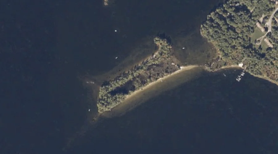
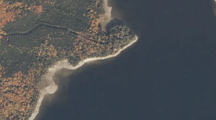
Horse Beef Point is a cape in Oxford County, Maine, located about 28.0 miles north-northwest of Chapman Inn in Bethel, Maine. It appears on the USGS Middle Dam…
Jackson Point is a cape in Oxford County, Maine, located about 27.6 miles north-northwest of Chapman Inn in Bethel, Maine. It appears on the USGS Middle Dam topographic…
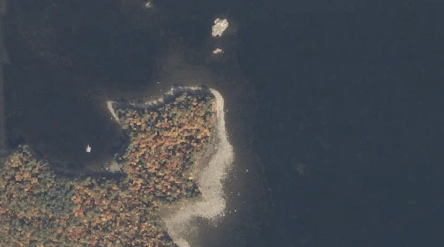
Bear Point is a cape in Cumberland County, Maine, located about 27.7 miles south-southeast of Chapman Inn in Bethel, Maine. It appears on the USGS Bridgton topographic quadrangle.
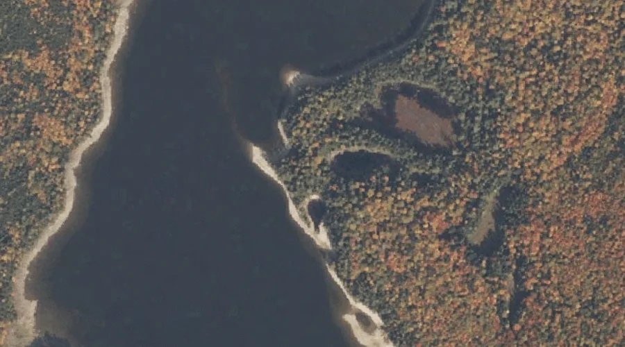
Lunt Point is a cape in Oxford County, Maine, located about 27.3 miles south-southeast of Chapman Inn in Bethel, Maine. It appears on the USGS Mechanic Falls topographic…
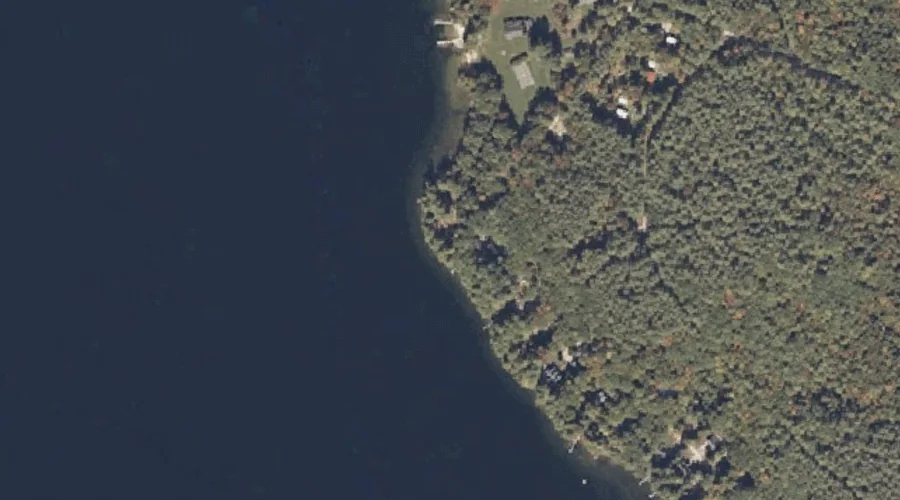
Tyler Point is a cape in Coos County, New Hampshire, located about 27.1 miles north-northwest of Chapman Inn in Bethel, Maine. It appears on the USGS Umbagog Lake…
Rifle Point is a cape in Oxford County, Maine, located about 26.4 miles north-northwest of Chapman Inn in Bethel, Maine. It appears on the USGS Middle Dam topographic…
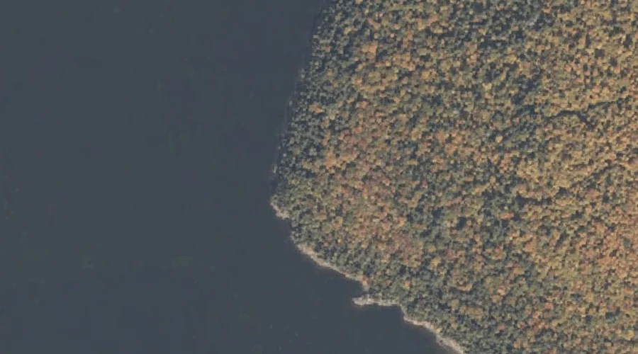
Hayes Point is a cape in Oxford County, Maine, located about 25.9 miles southeast of Chapman Inn in Bethel, Maine. It appears on the USGS Mechanic Falls topographic…
Long Point is a cape in Oxford County, Maine, located about 25.8 miles south-southeast of Chapman Inn in Bethel, Maine. It appears on the USGS Casco topographic quadrangle.