 Aerial imagery: USGS National Map (public domain)
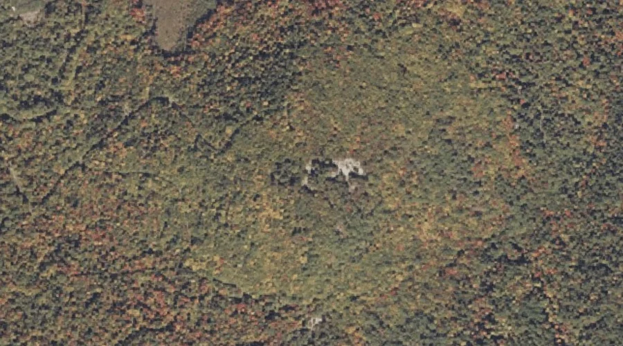
Number 4 Hill — Summits 22.2 Miles ESE of Chapman Inn
Oxford County, Maine · USGS Oxford Quadrangle · GNIS 581588
Within Oxford County, Maine, on the USGS Oxford quadrangle, the summit known as Number 4 Hill sits 22.2 miles east-southeast of Chapman Inn.
Wikidata short description: “mountain in United States of America”
Landmark Profile
Classification & USGS reference
Within Oxford County, Maine, the U.S. Geological Survey lists Number 4 Hill as a summit on the Oxford topographic quadrangle (FIPS 23/017), under Feature ID 581588. Last revised by the Board on Geographic Names on 07/23/2022.
Coordinates & physical setting
Number 4 Hill sits at 44.22912° N, 70.41357° W (DMS 44°13′45″ N, 70°24′49″ W).
Other summits in Oxford County, Maine
Oxford County, ME contains 438 summits catalogued in the USGS Geographic Names Information System, counting Number 4 Hill itself. The ones closest to Number 4 Hill:
| Feature | USGS Quadrangle | Elevation | Distance |
|---|---|---|---|
| Mount Marie | Oxford | — | 0.6 mi |
| Ben Barrows Hill | Oxford | — | 0.8 mi |
| Little Singepole Mountain | Oxford | — | 1.1 mi |
| Stone Hill | Oxford | — | 1.2 mi |
| Streaked Mountain | Oxford | — | 1.5 mi |
| Singepole Mountain | Oxford | — | 1.8 mi |
| Greenwood Mountain | Oxford | — | 2.5 mi |
| Whitman Hill | Lake Auburn West | — | 2.6 mi |
| Oak Hill | West Sumner | — | 2.6 mi |
| Durrell Hill | Oxford | — | 2.8 mi |
Features on the USGS Oxford Quadrangle
The Oxford 7.5-minute topographic quadrangle holds 34 catalogued natural features alongside Number 4 Hill. A sampling nearest to this location:
| Feature | Type | County | Offset |
|---|---|---|---|
| Mount Marie | Summits | Oxford County, ME | 0.6 mi |
| Ben Barrows Hill | Summits | Oxford County, ME | 0.8 mi |
| Little Singepole Mountain | Summits | Oxford County, ME | 1.1 mi |
| Stone Hill | Summits | Oxford County, ME | 1.2 mi |
| Streaked Mountain | Summits | Oxford County, ME | 1.5 mi |
| Singepole Mountain | Summits | Oxford County, ME | 1.8 mi |
| Cobb Brook | Streams | Oxford County, ME | 1.9 mi |
| Hall Pond | Reservoirs | Oxford County, ME | 2.3 mi |
| Noble Brook | Streams | Oxford County, ME | 2.4 mi |
| Greenwood Mountain | Summits | Oxford County, ME | 2.5 mi |
Visiting from Chapman Inn
Distance, bearing & drive time
Follow the compass bearing ESE out of Bethel for 22.2 miles (east-southeast) and you reach Number 4 Hill; at typical rural speeds the trip runs roughly 38 minutes.
Best time to visit
Accessible May through November in most years. At this latitude (44.229°), the shoulder seasons are workable — April and November can be comfortable on mild years. At 22.2 miles from the Inn, plan on a comfortable day trip with time for lunch on the road. Conditions at Number 4 Hill track the nearby Mount Marie summit (0.6 mi away) closely — if that is runnable, so is this.
Nearest features to Number 4 Hill
| Feature | Type | County | Distance |
|---|---|---|---|
| Mount Marie | Summits | Oxford County, ME | 0.6 mi |
| Ben Barrows Hill | Summits | Oxford County, ME | 0.8 mi |
| Little Singepole Mountain | Summits | Oxford County, ME | 1.1 mi |
| Stone Hill | Summits | Oxford County, ME | 1.2 mi |
| Streaked Mountain | Summits | Oxford County, ME | 1.5 mi |
Frequently Asked Questions
Where is Number 4 Hill located?
Number 4 Hill is in Oxford County, Maine, approximately 22.2 miles east-southeast of Chapman Inn in Bethel, Maine. It appears on the USGS Oxford topographic quadrangle.
How far is Number 4 Hill from Chapman Inn?
The drive runs about 38 minutes, 22.2 miles east-southeast (bearing ESE) of the Inn.
What type of natural feature is Number 4 Hill?
The U.S. Geological Survey classifies Number 4 Hill as a summit, catalogued under GNIS Feature ID 581588 on the Oxford quadrangle.
When is the best time to visit Number 4 Hill?
Accessible May through November in most years.
How many other summits are in Oxford County, Maine?
GNIS lists 437 other summits in Oxford County, Maine.
Wikidata: Q33142047.