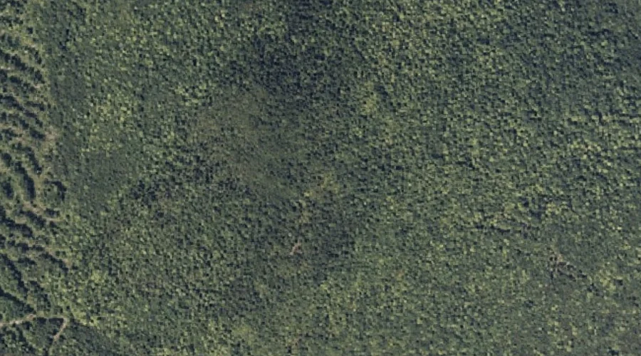
 Aerial imagery: USGS National Map (public domain)
New Vineyard Mountains — Summits 43.4 Miles NE of Chapman Inn
Franklin County, Maine · USGS New Vineyard Quadrangle · GNIS 572130
At 597 feet of elevation, New Vineyard Mountains rises above Franklin County, Maine as a named summit on the USGS New Vineyard topographic quadrangle — about 43.4 miles northeast of Chapman Inn in Bethel, Maine.
Wikidata short description: “human settlement in Franklin County, Maine, United States of America”
Landmark Profile
Classification & USGS reference
The USGS New Vineyard 7.5-minute topographic quadrangle places New Vineyard Mountains in Franklin County, Maine (FIPS 23/007), classified as a summit in the federal GNIS (Feature ID 572130). Last revised by the Board on Geographic Names on 07/22/2023.
Coordinates & physical setting
New Vineyard Mountains sits at 44.79585° N, 70.09758° W (DMS 44°47′45″ N, 70°05′51″ W).
Dimensions & elevation
- Summit elevation 597 ft / 182 m — an easily accessible elevation.
- Surface area 0.147 km2 / 36.2 acres
Other summits in Franklin County, Maine
Franklin County, ME contains 129 summits catalogued in the USGS Geographic Names Information System, counting New Vineyard Mountains itself. The ones closest to New Vineyard Mountains:
| Feature | USGS Quadrangle | Elevation | Distance |
|---|---|---|---|
| Griffin Mountain | New Vineyard | — | 0 mi |
| Caswell Mountain | New Vineyard | — | 0.6 mi |
| Little Mountain | New Vineyard | — | 1.5 mi |
| Ick Norton Mountain | New Vineyard | — | 2.1 mi |
| Norton Mountain | New Vineyard | — | 2.2 mi |
| Boardman Mountain | New Vineyard | — | 2.4 mi |
| True Mountain | New Vineyard | — | 2.4 mi |
| Leavitt Hill | Strong | — | 2.8 mi |
| Pratt Mountain | Strong | — | 3.4 mi |
| Hartwell Mountain | Strong | — | 3.9 mi |
Features on the USGS New Vineyard Quadrangle
The New Vineyard 7.5-minute topographic quadrangle holds 20 catalogued natural features alongside New Vineyard Mountains. A sampling nearest to this location:
| Feature | Type | County | Offset |
|---|---|---|---|
| Griffin Mountain | Summits | Franklin County, ME | 0 mi |
| Caswell Mountain | Summits | Franklin County, ME | 0.6 mi |
| Mill Pond | Lakes | Franklin County, ME | 1.4 mi |
| Little Mountain | Summits | Franklin County, ME | 1.5 mi |
| New Vineyard Basin | Basins | Franklin County, ME | 1.7 mi |
| Bauds Pond | Reservoirs | Franklin County, ME | 2 mi |
| Ick Norton Mountain | Summits | Franklin County, ME | 2.1 mi |
| Norton Mountain | Summits | Franklin County, ME | 2.2 mi |
| Boardman Mountain | Summits | Franklin County, ME | 2.4 mi |
| True Mountain | Summits | Franklin County, ME | 2.4 mi |
Ranking & rarity
- New Vineyard Mountains is #9 of 9 summits with recorded elevation in Franklin County, Maine.
- Among the 1280 summits catalogued within 80 km of Chapman Inn, New Vineyard Mountains ranks #1041 by proximity to the Inn (closer than 19%).
Historical record
Also known as: New Vineyard, ME.
New Vineyard is a town in Franklin County, Maine, United States. The population was 721 at the 2020 census. Extended history on Wikipedia →
Visiting from Chapman Inn
Distance, bearing & drive time
Chapman Inn sits 43.4 miles northeast (bearing NE) of New Vineyard Mountains. At moderate back-road speeds the drive runs about 74 minutes — comfortably inside a half-day outing window after breakfast.
Best time to visit
Accessible May through November in most years. Being this far north (lat 44.796°), first snows typically arrive by mid-October and linger into early May — narrow the window accordingly. At 43.4 miles from the Inn, block the full day — sunrise start, late return, packed meals. Conditions at New Vineyard Mountains track the nearby Griffin Mountain summit (essentially adjacent) closely — if that is runnable, so is this.
Nearest features to New Vineyard Mountains
| Feature | Type | County | Distance |
|---|---|---|---|
| Griffin Mountain | Summits | Franklin County, ME | 0 mi |
| Caswell Mountain | Summits | Franklin County, ME | 0.6 mi |
| Mill Pond | Lakes | Franklin County, ME | 1.4 mi |
| Little Mountain | Summits | Franklin County, ME | 1.5 mi |
| New Vineyard Basin | Basins | Franklin County, ME | 1.7 mi |
Frequently Asked Questions
Where is New Vineyard Mountains located?
New Vineyard Mountains is in Franklin County, Maine, approximately 43.4 miles northeast of Chapman Inn in Bethel, Maine. It appears on the USGS New Vineyard topographic quadrangle.
How far is New Vineyard Mountains from Chapman Inn?
The drive runs about 74 minutes, 43.4 miles northeast (bearing NE) of the Inn.
What type of natural feature is New Vineyard Mountains?
The U.S. Geological Survey classifies New Vineyard Mountains as a summit, catalogued under GNIS Feature ID 572130 on the New Vineyard quadrangle.
When is the best time to visit New Vineyard Mountains?
Accessible May through November in most years.
How tall is New Vineyard Mountains?
New Vineyard Mountains rises to 597 feet (182 metres) above sea level.
How large is New Vineyard Mountains by surface area?
Wikidata records a surface area of 0.147 km² (36.2 acres) for New Vineyard Mountains.
What other names has New Vineyard Mountains been known by?
Alternate or historical names on record: New Vineyard, ME.
How many other summits are in Franklin County, Maine?
GNIS lists 128 other summits in Franklin County, Maine.
Wikidata: Q3448405.