 Aerial imagery: USGS National Map (public domain)
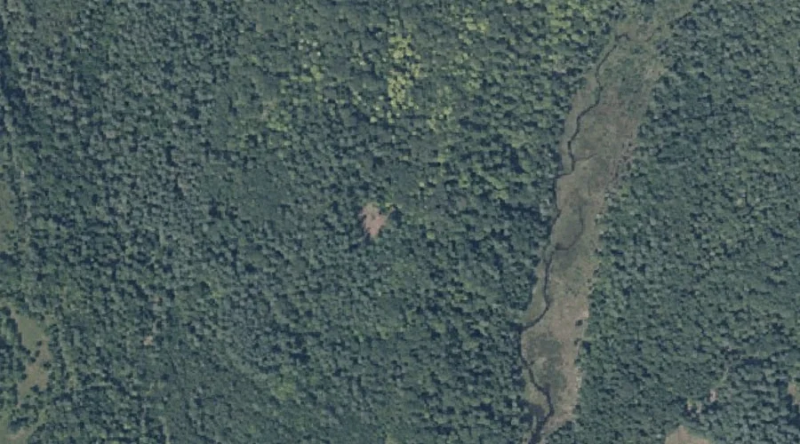
Manter Hill — Summits 35.2 Miles E of Chapman Inn
Kennebec County, Maine · USGS Fayette Quadrangle · GNIS 570716
Within Kennebec County, Maine, on the USGS Fayette quadrangle, the summit known as Manter Hill sits 35.2 miles east of Chapman Inn.
Landmark Profile
Classification & USGS reference
Within Kennebec County, Maine, the U.S. Geological Survey lists Manter Hill as a summit on the Fayette topographic quadrangle (FIPS 23/011), under Feature ID 570716. Last revised by the Board on Geographic Names on 06/18/2022.
Coordinates & physical setting
Manter Hill sits at 44.38527° N, 70.07624° W (DMS 44°23′07″ N, 70°04′34″ W).
Other summits in Kennebec County, Maine
Kennebec County, ME contains 46 summits catalogued in the USGS Geographic Names Information System, counting Manter Hill itself. The ones closest to Manter Hill:
| Feature | USGS Quadrangle | Elevation | Distance |
|---|---|---|---|
| Oak Hill | Fayette | — | 1.5 mi |
| Mount Winnebago | Fayette | — | 2.4 mi |
| Baldwin Hill | Fayette | — | 3.3 mi |
| Morrison Heights | Wayne | — | 4.3 mi |
| Pine Hill | Fayette | — | 4.3 mi |
| Ward Hill | Wayne | — | 7.3 mi |
| Bowen Hill | Readfield | — | 7.4 mi |
| Hornbeam Mountain | Readfield | — | 8.8 mi |
| Monks Hill | Winthrop | — | 9.7 mi |
| Norris Hill | Monmouth | — | 9.9 mi |
Features on the USGS Fayette Quadrangle
The Fayette 7.5-minute topographic quadrangle holds 29 catalogued natural features alongside Manter Hill. A sampling nearest to this location:
| Feature | Type | County | Offset |
|---|---|---|---|
| Hales Pond | Lakes | Kennebec County, ME | 1.3 mi |
| Oak Hill | Summits | Kennebec County, ME | 1.5 mi |
| Mount Winnebago | Summits | Kennebec County, ME | 2.4 mi |
| Lovejoy Pond | Reservoirs | Kennebec County, ME | 2.5 mi |
| Baldwin Hill | Summits | Kennebec County, ME | 3.3 mi |
| Schoolhouse Pond | Lakes | Androscoggin County, ME | 3.7 mi |
| Echo Island | Islands | Kennebec County, ME | 3.9 mi |
| Turtle Island | Islands | Kennebec County, ME | 4 mi |
| Turner Pond | Lakes | Androscoggin County, ME | 4.1 mi |
| Fayette Ridge | Ridges | Kennebec County, ME | 4.1 mi |
Visiting from Chapman Inn
Distance, bearing & drive time
Follow the compass bearing E out of Bethel for 35.2 miles (east) and you reach Manter Hill; at typical rural speeds the trip runs roughly 60 minutes.
Best time to visit
Accessible May through November in most years. At this latitude (44.385°), the shoulder seasons are workable — April and November can be comfortable on mild years. At 35.2 miles from the Inn, block the full day — sunrise start, late return, packed meals. Conditions at Manter Hill track the nearby Hales Brook stream (1.0 mi away) closely — if that is runnable, so is this.
Nearest features to Manter Hill
| Feature | Type | County | Distance |
|---|---|---|---|
| Hales Brook | Streams | Kennebec County, ME | 1 mi |
| Hales Pond | Lakes | Kennebec County, ME | 1.3 mi |
| Oak Hill | Summits | Kennebec County, ME | 1.5 mi |
| Pocasset Lake | Reservoirs | Kennebec County, ME | 1.7 mi |
| Pickerel Pond | Lakes | Kennebec County, ME | 1.9 mi |
Frequently Asked Questions
Where is Manter Hill located?
Manter Hill is in Kennebec County, Maine, approximately 35.2 miles east of Chapman Inn in Bethel, Maine. It appears on the USGS Fayette topographic quadrangle.
How far is Manter Hill from Chapman Inn?
The drive runs about 60 minutes, 35.2 miles east (bearing E) of the Inn.
What type of natural feature is Manter Hill?
The U.S. Geological Survey classifies Manter Hill as a summit, catalogued under GNIS Feature ID 570716 on the Fayette quadrangle.
When is the best time to visit Manter Hill?
Accessible May through November in most years.
How many other summits are in Kennebec County, Maine?
GNIS lists 45 other summits in Kennebec County, Maine.