 Aerial imagery: USGS National Map (public domain)
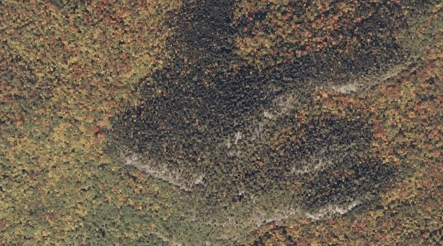
Hemingway Mountain — Summits 11.3 Miles ENE of Chapman Inn
Oxford County, Maine · USGS Mount Zircon Quadrangle · GNIS 567916
Catalogued on the USGS Mount Zircon quadrangle in Oxford County, Maine, Hemingway Mountain — a summit — lies 11.3 miles east-northeast of Chapman Inn.
Wikidata short description: “mountain in United States of America”
Landmark Profile
Classification & USGS reference
Catalogued under GNIS Feature ID 567916, Hemingway Mountain is recorded as a summit on the USGS Mount Zircon quadrangle in Oxford County, Maine (FIPS 23/017). Last revised by the Board on Geographic Names on 07/16/2022.
Coordinates & physical setting
Hemingway Mountain sits at 44.47901° N, 70.58385° W (DMS 44°28′44″ N, 70°35′02″ W).
Other summits in Oxford County, Maine
Oxford County, ME contains 438 summits catalogued in the USGS Geographic Names Information System, counting Hemingway Mountain itself. The ones closest to Hemingway Mountain:
| Feature | USGS Quadrangle | Elevation | Distance |
|---|---|---|---|
| Mount Glines | Mount Zircon | — | 0.5 mi |
| Thurston Mountain | Mount Zircon | — | 1.1 mi |
| Mount Zircon | Mount Zircon | — | 1.3 mi |
| Little Mount Zircon | Mount Zircon | — | 1.3 mi |
| Bean Mountain | Mount Zircon | — | 1.6 mi |
| Davis Mountain | Mount Zircon | — | 2.1 mi |
| Glass Face Mountain | Rumford | — | 3.3 mi |
| Bryant Mountain | Bryant Pond | — | 3.7 mi |
| Barkers High Ledge | Bryant Pond | — | 3.7 mi |
| Chamberlain Mountain | Mount Zircon | — | 3.8 mi |
Features on the USGS Mount Zircon Quadrangle
The Mount Zircon 7.5-minute topographic quadrangle holds 21 catalogued natural features alongside Hemingway Mountain. A sampling nearest to this location:
| Feature | Type | County | Offset |
|---|---|---|---|
| Mount Glines | Summits | Oxford County, ME | 0.5 mi |
| Mount Zircon Spring | Springs | Oxford County, ME | 1.1 mi |
| Thurston Mountain | Summits | Oxford County, ME | 1.1 mi |
| Mount Zircon | Summits | Oxford County, ME | 1.3 mi |
| Little Mount Zircon | Summits | Oxford County, ME | 1.3 mi |
| Mount Zircon Reservoir | Reservoirs | Oxford County, ME | 1.4 mi |
| Bean Mountain | Summits | Oxford County, ME | 1.6 mi |
| Davis Mountain | Summits | Oxford County, ME | 2.1 mi |
| Concord Pond | Lakes | Oxford County, ME | 2.9 mi |
| Little Concord Pond | Lakes | Oxford County, ME | 3.8 mi |
Visiting from Chapman Inn
Distance, bearing & drive time
A 19-minute drive along back roads separates the front door of Chapman Inn from Hemingway Mountain — 11.3 miles east-northeast as the crow flies, on compass bearing ENE.
Best time to visit
Accessible May through November in most years. At this latitude (44.479°), the shoulder seasons are workable — April and November can be comfortable on mild years. At 11.3 miles from the Inn, plan on a comfortable day trip with time for lunch on the road. Conditions at Hemingway Mountain track the nearby Mount Glines summit (0.5 mi away) closely — if that is runnable, so is this.
Nearest features to Hemingway Mountain
| Feature | Type | County | Distance |
|---|---|---|---|
| Mount Glines | Summits | Oxford County, ME | 0.5 mi |
| Mount Zircon Spring | Springs | Oxford County, ME | 1.1 mi |
| Thurston Mountain | Summits | Oxford County, ME | 1.1 mi |
| Mount Zircon | Summits | Oxford County, ME | 1.3 mi |
| Little Mount Zircon | Summits | Oxford County, ME | 1.3 mi |
Frequently Asked Questions
Where is Hemingway Mountain located?
Hemingway Mountain is in Oxford County, Maine, approximately 11.3 miles east-northeast of Chapman Inn in Bethel, Maine. It appears on the USGS Mount Zircon topographic quadrangle.
How far is Hemingway Mountain from Chapman Inn?
The drive runs about 19 minutes, 11.3 miles east-northeast (bearing ENE) of the Inn.
What type of natural feature is Hemingway Mountain?
The U.S. Geological Survey classifies Hemingway Mountain as a summit, catalogued under GNIS Feature ID 567916 on the Mount Zircon quadrangle.
When is the best time to visit Hemingway Mountain?
Accessible May through November in most years.
How many other summits are in Oxford County, Maine?
GNIS lists 437 other summits in Oxford County, Maine.
Wikidata: Q33139515.