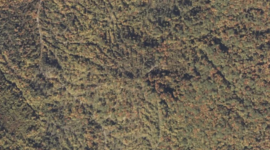
 Aerial imagery: USGS National Map (public domain)
Barkers High Ledge — Summits 7.8 Miles ENE of Chapman Inn
Oxford County, Maine · USGS Bryant Pond Quadrangle · GNIS 561611
Within Oxford County, Maine, on the USGS Bryant Pond quadrangle, the summit known as Barkers High Ledge sits 7.8 miles east-northeast of Chapman Inn.
Wikidata short description: “mountain in United States of America”
Landmark Profile
Classification & USGS reference
Within Oxford County, Maine, the U.S. Geological Survey lists Barkers High Ledge as a summit on the Bryant Pond topographic quadrangle (FIPS 23/017), under Feature ID 561611. Last revised by the Board on Geographic Names on 08/30/2022.
Coordinates & physical setting
Barkers High Ledge sits at 44.46696° N, 70.65724° W (DMS 44°28′01″ N, 70°39′26″ W).
Other summits in Oxford County, Maine
Oxford County, ME contains 438 summits catalogued in the USGS Geographic Names Information System, counting Barkers High Ledge itself. The ones closest to Barkers High Ledge:
| Feature | USGS Quadrangle | Elevation | Distance |
|---|---|---|---|
| Pebley Mountain | Bryant Pond | — | 0.9 mi |
| Wilbur Mountain | Bryant Pond | — | 1.6 mi |
| Bryant Mountain | Bryant Pond | — | 2 mi |
| Kimball Hill | Bryant Pond | — | 2.4 mi |
| Chamberlain Mountain | Mount Zircon | — | 3.2 mi |
| Birds Hill | Bryant Pond | — | 3.4 mi |
| Hemingway Mountain | Mount Zircon | — | 3.7 mi |
| Mount Glines | Mount Zircon | — | 3.8 mi |
| Howard Mountain | Bryant Pond | — | 3.9 mi |
| Chandler Hill | Bryant Pond | — | 3.9 mi |
Features on the USGS Bryant Pond Quadrangle
The Bryant Pond 7.5-minute topographic quadrangle holds 29 catalogued natural features alongside Barkers High Ledge. A sampling nearest to this location:
| Feature | Type | County | Offset |
|---|---|---|---|
| Pebley Mountain | Summits | Oxford County, ME | 0.9 mi |
| Barkers Brook | Streams | Oxford County, ME | 1.1 mi |
| Concord River | Streams | Oxford County, ME | 1.5 mi |
| Wilbur Mountain | Summits | Oxford County, ME | 1.6 mi |
| Bryant Mountain | Summits | Oxford County, ME | 2 mi |
| Kimball Hill | Summits | Oxford County, ME | 2.4 mi |
| Otter Brook | Streams | Oxford County, ME | 2.4 mi |
| Pond Stream | Streams | Oxford County, ME | 2.7 mi |
| Billings Hill Brook | Streams | Oxford County, ME | 3 mi |
| Meadow Brook | Streams | Oxford County, ME | 3 mi |
Visiting from Chapman Inn
Distance, bearing & drive time
Follow the compass bearing ENE out of Bethel for 7.8 miles (east-northeast) and you reach Barkers High Ledge; at typical rural speeds the trip runs roughly 13 minutes.
Best time to visit
Accessible May through November in most years. At this latitude (44.467°), the shoulder seasons are workable — April and November can be comfortable on mild years. The 7.8-mile drive from Chapman Inn makes it practical for a half-day outing — you can check conditions in the morning and still turn back if the weather closes in. Conditions at Barkers High Ledge track the nearby Pebley Mountain summit (0.9 mi away) closely — if that is runnable, so is this.
Nearest features to Barkers High Ledge
| Feature | Type | County | Distance |
|---|---|---|---|
| Pebley Mountain | Summits | Oxford County, ME | 0.9 mi |
| Barkers Brook | Streams | Oxford County, ME | 1.1 mi |
| Concord River | Streams | Oxford County, ME | 1.5 mi |
| Wilbur Mountain | Summits | Oxford County, ME | 1.6 mi |
| Bryant Mountain | Summits | Oxford County, ME | 2 mi |
Frequently Asked Questions
Where is Barkers High Ledge located?
Barkers High Ledge is in Oxford County, Maine, approximately 7.8 miles east-northeast of Chapman Inn in Bethel, Maine. It appears on the USGS Bryant Pond topographic quadrangle.
How far is Barkers High Ledge from Chapman Inn?
The drive runs about 13 minutes, 7.8 miles east-northeast (bearing ENE) of the Inn.
What type of natural feature is Barkers High Ledge?
The U.S. Geological Survey classifies Barkers High Ledge as a summit, catalogued under GNIS Feature ID 561611 on the Bryant Pond quadrangle.
When is the best time to visit Barkers High Ledge?
Accessible May through November in most years.
How many other summits are in Oxford County, Maine?
GNIS lists 437 other summits in Oxford County, Maine.
Wikidata: Q33136548.