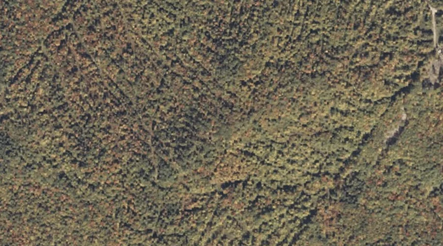
 Aerial imagery: USGS National Map (public domain)
Browns Mountain — Summits 19.9 Miles E of Chapman Inn
Oxford County, Maine · USGS Worthley Pond Quadrangle · GNIS 563079
19.9 miles east of Chapman Inn, on the USGS Worthley Pond topographic quadrangle, Browns Mountain is a summit recorded in Oxford County, Maine by the federal Geographic Names Information System.
Wikidata short description: “mountain in Maine, United States of America”
Landmark Profile
Classification & USGS reference
The USGS Worthley Pond 7.5-minute topographic quadrangle places Browns Mountain in Oxford County, Maine (FIPS 23/017), classified as a summit in the federal GNIS (Feature ID 563079). Last revised by the Board on Geographic Names on 08/06/2022.
Coordinates & physical setting
Browns Mountain sits at 44.44251° N, 70.38882° W (DMS 44°26′33″ N, 70°23′20″ W).
Other summits in Oxford County, Maine
Oxford County, ME contains 438 summits catalogued in the USGS Geographic Names Information System, counting Browns Mountain itself. The ones closest to Browns Mountain:
| Feature | USGS Quadrangle | Elevation | Distance |
|---|---|---|---|
| Thompson Mountain | Worthley Pond | — | 0.4 mi |
| The Saddleback | Worthley Pond | — | 0.7 mi |
| Trask Mountain | Canton | — | 1.4 mi |
| Ragged Jack Mountain | Worthley Pond | — | 1.6 mi |
| Thorne Mountain | Canton | — | 2.2 mi |
| Allen Hill | Canton | — | 2.6 mi |
| Tumbledown Dick Mountain | Worthley Pond | — | 2.8 mi |
| Poland Mountain | Worthley Pond | — | 2.9 mi |
| The Pinnacle | Worthley Pond | — | 3 mi |
| Dunn Ledge | Canton | — | 3.1 mi |
Features on the USGS Worthley Pond Quadrangle
The Worthley Pond 7.5-minute topographic quadrangle holds 20 catalogued natural features alongside Browns Mountain. A sampling nearest to this location:
| Feature | Type | County | Offset |
|---|---|---|---|
| Thompson Mountain | Summits | Oxford County, ME | 0.4 mi |
| The Saddleback | Summits | Oxford County, ME | 0.7 mi |
| Worthley Pond | Reservoirs | Oxford County, ME | 1.5 mi |
| Ragged Jack Mountain | Summits | Oxford County, ME | 1.6 mi |
| Mud Pond | Lakes | Oxford County, ME | 2.2 mi |
| Thomas Brook | Streams | Oxford County, ME | 2.2 mi |
| Russell Brook | Streams | Oxford County, ME | 2.8 mi |
| Tumbledown Dick Mountain | Summits | Oxford County, ME | 2.8 mi |
| Poland Mountain | Summits | Oxford County, ME | 2.9 mi |
| Bog Brook | Streams | Oxford County, ME | 3 mi |
Visiting from Chapman Inn
Distance, bearing & drive time
Chapman Inn sits 19.9 miles east (bearing E) of Browns Mountain. At moderate back-road speeds the drive runs about 34 minutes — comfortably inside a half-day outing window after breakfast.
Best time to visit
Accessible May through November in most years. At this latitude (44.443°), the shoulder seasons are workable — April and November can be comfortable on mild years. At 19.9 miles from the Inn, plan on a comfortable day trip with time for lunch on the road. Conditions at Browns Mountain track the nearby Thompson Mountain summit (0.4 mi away) closely — if that is runnable, so is this.
Nearest features to Browns Mountain
| Feature | Type | County | Distance |
|---|---|---|---|
| Thompson Mountain | Summits | Oxford County, ME | 0.4 mi |
| The Saddleback | Summits | Oxford County, ME | 0.7 mi |
| Trask Mountain | Summits | Oxford County, ME | 1.4 mi |
| Worthley Pond | Reservoirs | Oxford County, ME | 1.5 mi |
| Ragged Jack Mountain | Summits | Oxford County, ME | 1.6 mi |
Frequently Asked Questions
Where is Browns Mountain located?
Browns Mountain is in Oxford County, Maine, approximately 19.9 miles east of Chapman Inn in Bethel, Maine. It appears on the USGS Worthley Pond topographic quadrangle.
How far is Browns Mountain from Chapman Inn?
The drive runs about 34 minutes, 19.9 miles east (bearing E) of the Inn.
What type of natural feature is Browns Mountain?
The U.S. Geological Survey classifies Browns Mountain as a summit, catalogued under GNIS Feature ID 563079 on the Worthley Pond quadrangle.
When is the best time to visit Browns Mountain?
Accessible May through November in most years.
How many other summits are in Oxford County, Maine?
GNIS lists 437 other summits in Oxford County, Maine.
Wikidata: Q33137396.