 Aerial imagery: USGS National Map (public domain)
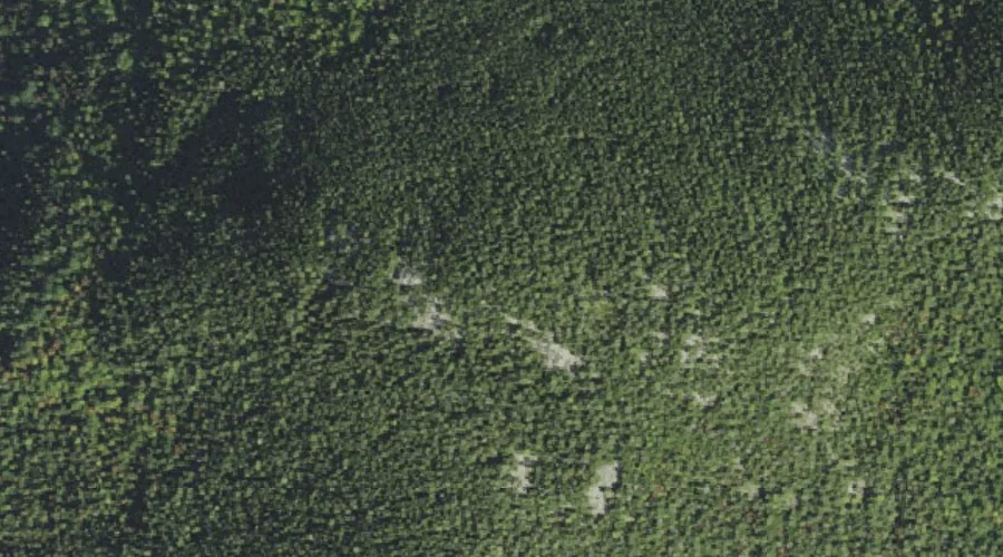
Barlett Mountain — Summits 26.4 Miles SW of Chapman Inn
Carroll County, New Hampshire · USGS North Conway East Quadrangle · GNIS 871444
Catalogued on the USGS North Conway East quadrangle in Carroll County, New Hampshire, Barlett Mountain — a summit — lies 26.4 miles southwest of Chapman Inn.
Wikidata short description: “mountain in United States of America”
Landmark Profile
Classification & USGS reference
Catalogued under GNIS Feature ID 871444, Barlett Mountain is recorded as a summit on the USGS North Conway East quadrangle in Carroll County, New Hampshire (FIPS 33/003). Last revised by the Board on Geographic Names on 11/24/2020.
Coordinates & physical setting
Barlett Mountain sits at 44.10149° N, 71.11265° W (DMS 44°06′05″ N, 71°06′46″ W).
Other summits in Carroll County, New Hampshire
Carroll County, NH contains 127 summits catalogued in the USGS Geographic Names Information System, counting Barlett Mountain itself. The ones closest to Barlett Mountain:
| Feature | USGS Quadrangle | Elevation | Distance |
|---|---|---|---|
| Kearsarge North | North Conway East | 3,268 ft | 1 mi |
| Mount Surprise | North Conway East | — | 1.3 mi |
| Rickers Knoll | North Conway East | — | 1.9 mi |
| Hurricane Mountain | North Conway East | — | 2.8 mi |
| The Twins | Chatham | — | 2.9 mi |
| Thorn Mountain | Jackson | — | 3 mi |
| Cranmore Mountain | North Conway East | — | 3.2 mi |
| Thorn Hill | North Conway West | — | 3.2 mi |
| Mountain Shaw | Chatham | — | 3.3 mi |
| Peaked Hill | North Conway East | — | 3.4 mi |
Features on the USGS North Conway East Quadrangle
The North Conway East 7.5-minute topographic quadrangle holds 27 catalogued natural features alongside Barlett Mountain. A sampling nearest to this location:
| Feature | Type | County | Offset |
|---|---|---|---|
| Hoyt Brook | Streams | Carroll County, NH | 0.2 mi |
| Kearsarge North | Summits | Carroll County, NH | 1 mi |
| Mount Surprise | Summits | Carroll County, NH | 1.3 mi |
| Rickers Knoll | Summits | Carroll County, NH | 1.9 mi |
| Shingle Pond | Lakes | Carroll County, NH | 1.9 mi |
| Hurricane Mountain | Summits | Carroll County, NH | 2.8 mi |
| Cranmore Mountain | Summits | Carroll County, NH | 3.2 mi |
| Peaked Hill | Summits | Carroll County, NH | 3.4 mi |
| Artist Brook | Streams | Carroll County, NH | 3.8 mi |
| Green Hills | Summits | Carroll County, NH | 3.9 mi |
Visiting from Chapman Inn
Distance, bearing & drive time
A 45-minute drive along back roads separates the front door of Chapman Inn from Barlett Mountain — 26.4 miles southwest as the crow flies, on compass bearing SW.
Best time to visit
Accessible May through November in most years. At this latitude (44.101°), the shoulder seasons are workable — April and November can be comfortable on mild years. At 26.4 miles from the Inn, block the full day — sunrise start, late return, packed meals. Conditions at Barlett Mountain track the nearby Hoyt Brook stream (0.2 mi away) closely — if that is runnable, so is this.
Nearest features to Barlett Mountain
| Feature | Type | County | Distance |
|---|---|---|---|
| Hoyt Brook | Streams | Carroll County, NH | 0.2 mi |
| Kearsarge North | Summits | Carroll County, NH | 1 mi |
| Mount Surprise | Summits | Carroll County, NH | 1.3 mi |
| Whitten Brook | Streams | Carroll County, NH | 1.5 mi |
| Gardiner Brook | Streams | Carroll County, NH | 1.7 mi |
Frequently Asked Questions
Where is Barlett Mountain located?
Barlett Mountain is in Carroll County, New Hampshire, approximately 26.4 miles southwest of Chapman Inn in Bethel, Maine. It appears on the USGS North Conway East topographic quadrangle.
How far is Barlett Mountain from Chapman Inn?
The drive runs about 45 minutes, 26.4 miles southwest (bearing SW) of the Inn.
What type of natural feature is Barlett Mountain?
The U.S. Geological Survey classifies Barlett Mountain as a summit, catalogued under GNIS Feature ID 871444 on the North Conway East quadrangle.
When is the best time to visit Barlett Mountain?
Accessible May through November in most years.
How many other summits are in Carroll County, New Hampshire?
GNIS lists 126 other summits in Carroll County, New Hampshire.
Wikidata: Q34808842.