 Aerial imagery: USGS National Map (public domain)
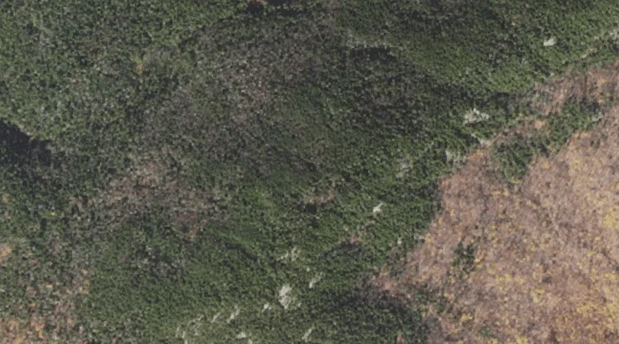
Bald Cap Peak — Summits 15.4 Miles W of Chapman Inn
Coos County, New Hampshire · USGS Shelburne Quadrangle · GNIS 871427
Within Coos County, New Hampshire, on the USGS Shelburne quadrangle, the summit known as Bald Cap Peak sits 15.4 miles west of Chapman Inn.
Wikidata short description: “mountain in United States of America”
Landmark Profile
Classification & USGS reference
Within Coos County, New Hampshire, the U.S. Geological Survey lists Bald Cap Peak as a summit on the Shelburne topographic quadrangle (FIPS 33/007), under Feature ID 871427. Last revised by the Board on Geographic Names on 11/24/2020.
Coordinates & physical setting
Bald Cap Peak sits at 44.43700° N, 71.09785° W (DMS 44°26′13″ N, 71°05′52″ W).
Other summits in Coos County, New Hampshire
Coos County, NH contains 226 summits catalogued in the USGS Geographic Names Information System, counting Bald Cap Peak itself. The ones closest to Bald Cap Peak:
| Feature | USGS Quadrangle | Elevation | Distance |
|---|---|---|---|
| Middle Mountain | Shelburne | — | 0.7 mi |
| Wocket Ledge | Shelburne | — | 0.7 mi |
| Bald Cap | Shelburne | — | 0.9 mi |
| First Mountain | Shelburne | — | 1 mi |
| Mount Crag | Shelburne | — | 1.6 mi |
| Mount Ingalls | Shelburne | — | 2.3 mi |
| North Bald Cap | Shelburne | — | 2.3 mi |
| Mount Winthrop | Shelburne | — | 2.5 mi |
| Cascade Mountain | Berlin | — | 2.6 mi |
| Mount Hayes | Berlin | — | 3.4 mi |
Features on the USGS Shelburne Quadrangle
The Shelburne 7.5-minute topographic quadrangle holds 47 catalogued natural features alongside Bald Cap Peak. A sampling nearest to this location:
| Feature | Type | County | Offset |
|---|---|---|---|
| Dream Lake | Lakes | Coos County, NH | 0.4 mi |
| Giant Falls | Waterfalls | Coos County, NH | 0.6 mi |
| Middle Mountain | Summits | Coos County, NH | 0.7 mi |
| Wocket Ledge | Summits | Coos County, NH | 0.7 mi |
| Bald Cap | Summits | Coos County, NH | 0.9 mi |
| First Mountain | Summits | Coos County, NH | 1 mi |
| Dryad Falls | Waterfalls | Coos County, NH | 1.1 mi |
| Page Pond | Lakes | Coos County, NH | 1.2 mi |
| Dryad Brook | Streams | Coos County, NH | 1.4 mi |
| Upper Gentian Pond | Lakes | Coos County, NH | 1.5 mi |
Visiting from Chapman Inn
Distance, bearing & drive time
Follow the compass bearing W out of Bethel for 15.4 miles (west) and you reach Bald Cap Peak; at typical rural speeds the trip runs roughly 26 minutes.
Best time to visit
Accessible May through November in most years. Being this far north (lat 44.437°), first snows typically arrive by mid-October and linger into early May — narrow the window accordingly. At 15.4 miles from the Inn, plan on a comfortable day trip with time for lunch on the road. Conditions at Bald Cap Peak track the nearby Dream Lake (0.4 mi away) closely — if that is runnable, so is this.
Nearest features to Bald Cap Peak
| Feature | Type | County | Distance |
|---|---|---|---|
| Dream Lake | Lakes | Coos County, NH | 0.4 mi |
| Giant Falls | Waterfalls | Coos County, NH | 0.6 mi |
| Middle Mountain | Summits | Coos County, NH | 0.7 mi |
| Wocket Ledge | Summits | Coos County, NH | 0.7 mi |
| Bald Cap | Summits | Coos County, NH | 0.9 mi |
Frequently Asked Questions
Where is Bald Cap Peak located?
Bald Cap Peak is in Coos County, New Hampshire, approximately 15.4 miles west of Chapman Inn in Bethel, Maine. It appears on the USGS Shelburne topographic quadrangle.
How far is Bald Cap Peak from Chapman Inn?
The drive runs about 26 minutes, 15.4 miles west (bearing W) of the Inn.
What type of natural feature is Bald Cap Peak?
The U.S. Geological Survey classifies Bald Cap Peak as a summit, catalogued under GNIS Feature ID 871427 on the Shelburne quadrangle.
When is the best time to visit Bald Cap Peak?
Accessible May through November in most years.
How many other summits are in Coos County, New Hampshire?
GNIS lists 225 other summits in Coos County, New Hampshire.
Wikidata: Q34808036.