 Aerial imagery: USGS National Map (public domain)
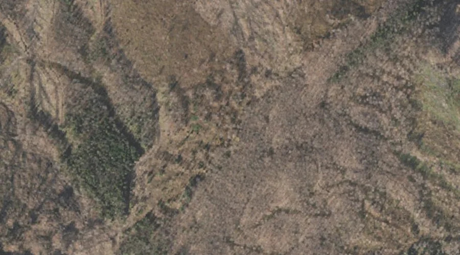
Black Bluff Hill — Summits 44.6 Miles NNW of Chapman Inn
Coos County, New Hampshire · USGS Diamond Pond Quadrangle · GNIS 865606
Catalogued on the USGS Diamond Pond quadrangle in Coos County, New Hampshire, Black Bluff Hill — a summit — lies 44.6 miles north-northwest of Chapman Inn.
Wikidata short description: “mountain in United States of America”
Landmark Profile
Classification & USGS reference
Catalogued under GNIS Feature ID 865606, Black Bluff Hill is recorded as a summit on the USGS Diamond Pond quadrangle in Coos County, New Hampshire (FIPS 33/007). Last revised by the Board on Geographic Names on 09/07/2022.
Coordinates & physical setting
Black Bluff Hill sits at 44.94154° N, 71.29221° W (DMS 44°56′30″ N, 71°17′32″ W).
Other summits in Coos County, New Hampshire
Coos County, NH contains 226 summits catalogued in the USGS Geographic Names Information System, counting Black Bluff Hill itself. The ones closest to Black Bluff Hill:
| Feature | USGS Quadrangle | Elevation | Distance |
|---|---|---|---|
| Tumble Dick Mountain | Diamond Pond | — | 0.8 mi |
| Sugar Hill | Diamond Pond | — | 1.4 mi |
| Van Dyck Mountain | Diamond Pond | — | 2.4 mi |
| Paul Hill | Diamond Pond | — | 2.9 mi |
| Holden Hill | Diamond Pond | — | 3 mi |
| Cedar Mountain | Diamond Pond | — | 3 mi |
| Keazer Mountain | Diamond Pond | — | 3.5 mi |
| Sanguinary Mountain | Diamond Pond | — | 3.9 mi |
| Harvey Swell | Diamond Pond | — | 4 mi |
| Hedgehog Hill | Diamond Pond | — | 4 mi |
Features on the USGS Diamond Pond Quadrangle
The Diamond Pond 7.5-minute topographic quadrangle holds 37 catalogued natural features alongside Black Bluff Hill. A sampling nearest to this location:
| Feature | Type | County | Offset |
|---|---|---|---|
| Tumble Dick Mountain | Summits | Coos County, NH | 0.8 mi |
| Alder Brook | Streams | Coos County, NH | 0.8 mi |
| Horn Brook | Streams | Coos County, NH | 0.9 mi |
| Diamond Ridge | Ridges | Coos County, NH | 1 mi |
| Diamond Pond | Lakes | Coos County, NH | 1.2 mi |
| Keyser Brook | Streams | Coos County, NH | 1.4 mi |
| Gulf Brook | Streams | Coos County, NH | 1.4 mi |
| Tracy Brook | Streams | Coos County, NH | 1.4 mi |
| Sugar Hill | Summits | Coos County, NH | 1.4 mi |
| Nathan Pond | Lakes | Coos County, NH | 1.6 mi |
Visiting from Chapman Inn
Distance, bearing & drive time
A 76-minute drive along back roads separates the front door of Chapman Inn from Black Bluff Hill — 44.6 miles north-northwest as the crow flies, on compass bearing NNW.
Best time to visit
Accessible May through November in most years. Being this far north (lat 44.942°), first snows typically arrive by mid-October and linger into early May — narrow the window accordingly. At 44.6 miles from the Inn, block the full day — sunrise start, late return, packed meals. Conditions at Black Bluff Hill track the nearby Tumble Dick Mountain summit (0.8 mi away) closely — if that is runnable, so is this.
Nearest features to Black Bluff Hill
| Feature | Type | County | Distance |
|---|---|---|---|
| Tumble Dick Mountain | Summits | Coos County, NH | 0.8 mi |
| Alder Brook | Streams | Coos County, NH | 0.8 mi |
| Horn Brook | Streams | Coos County, NH | 0.9 mi |
| Diamond Ridge | Ridges | Coos County, NH | 1 mi |
| Diamond Pond | Lakes | Coos County, NH | 1.2 mi |
Frequently Asked Questions
Where is Black Bluff Hill located?
Black Bluff Hill is in Coos County, New Hampshire, approximately 44.6 miles north-northwest of Chapman Inn in Bethel, Maine. It appears on the USGS Diamond Pond topographic quadrangle.
How far is Black Bluff Hill from Chapman Inn?
The drive runs about 76 minutes, 44.6 miles north-northwest (bearing NNW) of the Inn.
What type of natural feature is Black Bluff Hill?
The U.S. Geological Survey classifies Black Bluff Hill as a summit, catalogued under GNIS Feature ID 865606 on the Diamond Pond quadrangle.
When is the best time to visit Black Bluff Hill?
Accessible May through November in most years.
How many other summits are in Coos County, New Hampshire?
GNIS lists 225 other summits in Coos County, New Hampshire.
Wikidata: Q34835735.