 Aerial imagery: USGS National Map (public domain)
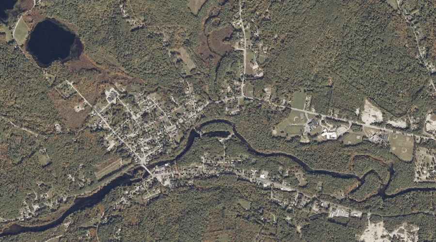
Ridlon Brook — Streams 41.3 Miles S of Chapman Inn
Oxford County, Maine · USGS Kezar Falls Quadrangle · GNIS 574207
Catalogued on the USGS Kezar Falls quadrangle in Oxford County, Maine, Ridlon Brook — a stream — lies 41.3 miles south of Chapman Inn.
Landmark Profile
Classification & USGS reference
Catalogued under GNIS Feature ID 574207, Ridlon Brook is recorded as a stream on the USGS Kezar Falls quadrangle in Oxford County, Maine (FIPS 23/017). Catalogued in GNIS since 09/30/1980.
Coordinates & physical setting
Ridlon Brook sits at 43.81091° N, 70.88034° W (DMS 43°48′39″ N, 70°52′49″ W).
As a linear feature its source lies near 43.82917° N, 70.88444° W (DMS 43°49′45″ N, 70°53′04″ W) — useful for anglers and paddlers tracing the upstream end.
Other streams in Oxford County, Maine
Oxford County, ME contains 296 streams catalogued in the USGS Geographic Names Information System, counting Ridlon Brook itself. The ones closest to Ridlon Brook:
| Feature | USGS Quadrangle | Distance |
|---|---|---|
| Mill Brook | Kezar Falls | 3.1 mi |
| West Branch Tenmile River | Brownfield | 5 mi |
| Thurston Brook | Kezar Falls | 5.2 mi |
| Hancock Brook | Hiram | 6 mi |
| Durgin Brook | Brownfield | 7.7 mi |
| Dragon Meadow Brook | Hiram | 7.8 mi |
| Quint Brook | Brownfield | 8.6 mi |
| Moose Pond Brook | Hiram | 8.6 mi |
| Tenmile River | Hiram | 8.6 mi |
| Billy Brook | Brownfield | 9 mi |
Features on the USGS Kezar Falls Quadrangle
The Kezar Falls 7.5-minute topographic quadrangle holds 32 catalogued natural features alongside Ridlon Brook. A sampling nearest to this location:
| Feature | Type | County | Offset |
|---|---|---|---|
| Ridlon Brook | Reservoirs | Oxford County, ME | 0.1 mi |
| Ossipee River Reservoir | Reservoirs | York County, ME | 0.1 mi |
| Ossipee River Reservoir | Reservoirs | York County, ME | 0.6 mi |
| Spectacle Ponds | Lakes | Oxford County, ME | 1.4 mi |
| Stanley Pond | Reservoirs | Oxford County, ME | 1.8 mi |
| Kezar Hill | Summits | York County, ME | 2 mi |
| Libby Hill | Summits | Oxford County, ME | 2.2 mi |
| Black Lake | Reservoirs | Oxford County, ME | 2.2 mi |
| Chapman Pond | Lakes | Oxford County, ME | 2.3 mi |
| Trafton Pond | Lakes | Oxford County, ME | 2.5 mi |
Visiting from Chapman Inn
Distance, bearing & drive time
A 71-minute drive along back roads separates the front door of Chapman Inn from Ridlon Brook — 41.3 miles south as the crow flies, on compass bearing S.
Best time to visit
Best observed in late spring and early summer when flow is strong and banks are visible. At this latitude (43.811°), the shoulder seasons are workable — April and November can be comfortable on mild years. At 41.3 miles from the Inn, block the full day — sunrise start, late return, packed meals. Conditions at Ridlon Brook track the nearby Ridlon Brook reservoir (essentially adjacent) closely — if that is runnable, so is this.
Nearest features to Ridlon Brook
| Feature | Type | County | Distance |
|---|---|---|---|
| Ridlon Brook | Reservoirs | Oxford County, ME | 0.1 mi |
| Ossipee River Reservoir | Reservoirs | York County, ME | 0.1 mi |
| Ossipee River Reservoir | Reservoirs | York County, ME | 0.6 mi |
| Spectacle Ponds | Lakes | Oxford County, ME | 1.4 mi |
| Wedgwood Brook | Streams | York County, ME | 1.4 mi |
Frequently Asked Questions
Where is Ridlon Brook located?
Ridlon Brook is in Oxford County, Maine, approximately 41.3 miles south of Chapman Inn in Bethel, Maine. It appears on the USGS Kezar Falls topographic quadrangle.
How far is Ridlon Brook from Chapman Inn?
The drive runs about 71 minutes, 41.3 miles south (bearing S) of the Inn.
What type of natural feature is Ridlon Brook?
The U.S. Geological Survey classifies Ridlon Brook as a stream, catalogued under GNIS Feature ID 574207 on the Kezar Falls quadrangle.
When is the best time to visit Ridlon Brook?
Best observed in late spring and early summer when flow is strong and banks are visible.
How many other streams are in Oxford County, Maine?
GNIS lists 295 other streams in Oxford County, Maine.