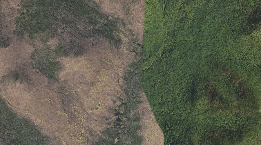
 Aerial imagery: USGS National Map (public domain)
Black Brook — Streams 21.7 Miles SW of Chapman Inn
Carroll County, New Hampshire · USGS Jackson Quadrangle · GNIS 871517
Within Carroll County, New Hampshire, on the USGS Jackson quadrangle, the stream known as Black Brook sits 21.7 miles southwest of Chapman Inn.
Landmark Profile
Classification & USGS reference
Within Carroll County, New Hampshire, the U.S. Geological Survey lists Black Brook as a stream on the Jackson topographic quadrangle (FIPS 33/003), under Feature ID 871517. Catalogued in GNIS since 08/27/1980.
Coordinates & physical setting
Black Brook sits at 44.20812° N, 71.13063° W (DMS 44°12′29″ N, 71°07′50″ W).
As a linear feature its source lies near 44.22222° N, 71.14639° W (DMS 44°13′20″ N, 71°08′47″ W) — useful for anglers and paddlers tracing the upstream end.
Other streams in Carroll County, New Hampshire
Carroll County, NH contains 152 streams catalogued in the USGS Geographic Names Information System, counting Black Brook itself. The ones closest to Black Brook:
| Feature | USGS Quadrangle | Distance |
|---|---|---|
| Gulf Brook | Jackson | 1.1 mi |
| Davis Brook | Jackson | 2.9 mi |
| Bog Brook | Jackson | 3 mi |
| Than Brook | Jackson | 3.1 mi |
| Wildcat Brook | Jackson | 3.5 mi |
| Marsh Brook | Jackson | 3.5 mi |
| Slippery Brook | Chatham | 3.7 mi |
| Great Brook | Jackson | 4.3 mi |
| Burnt Knoll Brook | Chatham | 4.9 mi |
| Spruce Brook | Jackson | 5.3 mi |
Features on the USGS Jackson Quadrangle
The Jackson 7.5-minute topographic quadrangle holds 29 catalogued natural features alongside Black Brook. A sampling nearest to this location:
| Feature | Type | County | Offset |
|---|---|---|---|
| Gulf Brook | Streams | Carroll County, NH | 1.1 mi |
| Black Mountain | Ridges | Carroll County, NH | 1.7 mi |
| No Ketchum Pond | Lakes | Coos County, NH | 2.5 mi |
| Perkins Notch | Gaps | Coos County, NH | 2.7 mi |
| North Doublehead | Summits | Carroll County, NH | 2.8 mi |
| Davis Brook | Streams | Carroll County, NH | 2.9 mi |
| The Knoll | Summits | Carroll County, NH | 3 mi |
| Bog Brook | Streams | Carroll County, NH | 3 mi |
| Than Brook | Streams | Carroll County, NH | 3.1 mi |
| South Doublehead | Summits | Carroll County, NH | 3.2 mi |
Visiting from Chapman Inn
Distance, bearing & drive time
Follow the compass bearing SW out of Bethel for 21.7 miles (southwest) and you reach Black Brook; at typical rural speeds the trip runs roughly 37 minutes.
Best time to visit
Best observed in late spring and early summer when flow is strong and banks are visible. At this latitude (44.208°), the shoulder seasons are workable — April and November can be comfortable on mild years. At 21.7 miles from the Inn, plan on a comfortable day trip with time for lunch on the road. Conditions at Black Brook track the nearby East Fork East Branch Saco River stream (0.7 mi away) closely — if that is runnable, so is this.
Nearest features to Black Brook
| Feature | Type | County | Distance |
|---|---|---|---|
| East Fork East Branch Saco River | Streams | Coos County, NH | 0.7 mi |
| Gulf Brook | Streams | Carroll County, NH | 1.1 mi |
| Chandler Mountain | Summits | Carroll County, NH | 1.3 mi |
| Black Mountain | Ridges | Carroll County, NH | 1.7 mi |
| Sable Mountain | Summits | Carroll County, NH | 1.8 mi |
Frequently Asked Questions
Where is Black Brook located?
Black Brook is in Carroll County, New Hampshire, approximately 21.7 miles southwest of Chapman Inn in Bethel, Maine. It appears on the USGS Jackson topographic quadrangle.
How far is Black Brook from Chapman Inn?
The drive runs about 37 minutes, 21.7 miles southwest (bearing SW) of the Inn.
What type of natural feature is Black Brook?
The U.S. Geological Survey classifies Black Brook as a stream, catalogued under GNIS Feature ID 871517 on the Jackson quadrangle.
When is the best time to visit Black Brook?
Best observed in late spring and early summer when flow is strong and banks are visible.
How many other streams are in Carroll County, New Hampshire?
GNIS lists 151 other streams in Carroll County, New Hampshire.