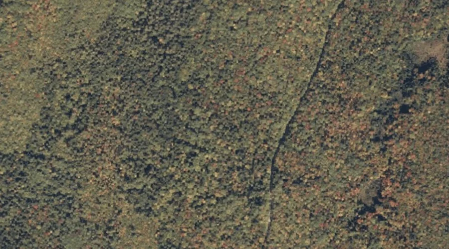
 Aerial imagery: USGS National Map (public domain)
Deer Hill Spring — Springs 15.6 Miles SW of Chapman Inn
Oxford County, Maine · USGS Center Lovell Quadrangle · GNIS 581001
One of only 11 springs catalogued within the 80 km reach of Chapman Inn, Deer Hill Spring lies on the USGS Center Lovell quadrangle in Oxford County, Maine — 15.6 miles southwest of the Inn.
Wikidata short description: “spring in Oxford County, Maine, United States of America”
Landmark Profile
Classification & USGS reference
The USGS Center Lovell 7.5-minute topographic quadrangle places Deer Hill Spring in Oxford County, Maine (FIPS 23/017), classified as a spring in the federal GNIS (Feature ID 581001). Catalogued in GNIS since 09/30/1980.
Coordinates & physical setting
Deer Hill Spring sits at 44.22784° N, 70.98452° W (DMS 44°13′40″ N, 70°59′04″ W).
Features on the USGS Center Lovell Quadrangle
The Center Lovell 7.5-minute topographic quadrangle holds 65 catalogued natural features alongside Deer Hill Spring. A sampling nearest to this location:
| Feature | Type | County | Offset |
|---|---|---|---|
| Deer Hill | Summits | Oxford County, ME | 0.6 mi |
| Little Deer Hill | Summits | Oxford County, ME | 0.9 mi |
| Harndon Hill | Summits | Oxford County, ME | 1.2 mi |
| Colton Hill | Summits | Oxford County, ME | 1.3 mi |
| Shell Pond | Lakes | Oxford County, ME | 1.3 mi |
| Pine Hill | Summits | Oxford County, ME | 1.4 mi |
| Rattlesnake Brook | Streams | Oxford County, ME | 1.6 mi |
| Lord Hill | Summits | Oxford County, ME | 1.6 mi |
| Mosquito Brook | Streams | Oxford County, ME | 2.1 mi |
| Horseshoe Pond | Lakes | Oxford County, ME | 2.1 mi |
Ranking & rarity
- Among the 11 springs catalogued within 80 km of Chapman Inn, Deer Hill Spring ranks #3 by proximity to the Inn (closer than 73%).
- This is one of only 11 springs catalogued within Chapman Inn’s 80 km reach — a rare classification in the local landscape.
Visiting from Chapman Inn
Distance, bearing & drive time
Chapman Inn sits 15.6 miles southwest (bearing SW) of Deer Hill Spring. At moderate back-road speeds the drive runs about 27 minutes — comfortably inside a half-day outing window after breakfast.
Best time to visit
Best observed in late spring and early summer when flow is strong and banks are visible. At this latitude (44.228°), the shoulder seasons are workable — April and November can be comfortable on mild years. At 15.6 miles from the Inn, plan on a comfortable day trip with time for lunch on the road. Conditions at Deer Hill Spring track the nearby Deer Hill summit (0.6 mi away) closely — if that is runnable, so is this.
Nearest features to Deer Hill Spring
| Feature | Type | County | Distance |
|---|---|---|---|
| Deer Hill | Summits | Oxford County, ME | 0.6 mi |
| Little Deer Hill | Summits | Oxford County, ME | 0.9 mi |
| Chandler Brook | Streams | Carroll County, NH | 1.1 mi |
| Harndon Hill | Summits | Oxford County, ME | 1.2 mi |
| Colton Hill | Summits | Oxford County, ME | 1.3 mi |
Frequently Asked Questions
Where is Deer Hill Spring located?
Deer Hill Spring is in Oxford County, Maine, approximately 15.6 miles southwest of Chapman Inn in Bethel, Maine. It appears on the USGS Center Lovell topographic quadrangle.
How far is Deer Hill Spring from Chapman Inn?
The drive runs about 27 minutes, 15.6 miles southwest (bearing SW) of the Inn.
What type of natural feature is Deer Hill Spring?
The U.S. Geological Survey classifies Deer Hill Spring as a spring, catalogued under GNIS Feature ID 581001 on the Center Lovell quadrangle.
When is the best time to visit Deer Hill Spring?
Best observed in late spring and early summer when flow is strong and banks are visible.
How rare is springs as a classification near Chapman Inn?
Only 11 springs are catalogued within the 80 km radius of the Inn — a comparatively rare classification.
Wikidata: Q34724289.