 Aerial imagery: USGS National Map (public domain)
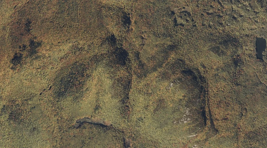
Albany Notch — Gaps 7.5 Miles SSW of Chapman Inn
Oxford County, Maine · USGS East Stoneham Quadrangle · GNIS 580910
Within Oxford County, Maine, on the USGS East Stoneham quadrangle, the mountain gap known as Albany Notch sits 7.5 miles south-southwest of Chapman Inn.
Landmark Profile
Classification & USGS reference
Within Oxford County, Maine, the U.S. Geological Survey lists Albany Notch as a mountain gap on the East Stoneham topographic quadrangle (FIPS 23/017), under Feature ID 580910. Catalogued in GNIS since 09/30/1980.
Coordinates & physical setting
Albany Notch sits at 44.30479° N, 70.84785° W (DMS 44°18′17″ N, 70°50′52″ W).
Other gaps in Oxford County, Maine
Oxford County, ME contains 18 gaps catalogued in the USGS Geographic Names Information System, counting Albany Notch itself. The ones closest to Albany Notch:
| Feature | USGS Quadrangle | Distance |
|---|---|---|
| Miles Notch | Speckled Mountain | 1.7 mi |
| Tyler Notch | Speckled Mountain | 4.4 mi |
| Haystack Notch | Speckled Mountain | 4.5 mi |
| Evans Notch | Speckled Mountain | 7 mi |
| Whites Notch | Gilead | 11.4 mi |
| Jakes Notch | Gilead | 13.7 mi |
| Carlo Col | Shelburne | 15 mi |
| Miles Notch | Old Speck Mountain | 17.3 mi |
| Mahoosuc Notch | Old Speck Mountain | 17.6 mi |
| Notch 2 | Old Speck Mountain | 18.5 mi |
Features on the USGS East Stoneham Quadrangle
The East Stoneham 7.5-minute topographic quadrangle holds 49 catalogued natural features alongside Albany Notch. A sampling nearest to this location:
| Feature | Type | County | Offset |
|---|---|---|---|
| Peter Mountain | Summits | Oxford County, ME | 0.4 mi |
| Number Eight Pond | Swamps | Oxford County, ME | 0.5 mi |
| Albany Mountain | Summits | Oxford County, ME | 0.6 mi |
| Farwell Mountain | Summits | Oxford County, ME | 0.8 mi |
| Pine Mountain | Summits | Oxford County, ME | 1.2 mi |
| Crocker Pond | Lakes | Oxford County, ME | 1.2 mi |
| New England Brook | Streams | Oxford County, ME | 1.6 mi |
| Broken Bridge Pond | Lakes | Oxford County, ME | 1.6 mi |
| Round Pond | Lakes | Oxford County, ME | 1.6 mi |
| Waterfowl Marsh | Swamps | Oxford County, ME | 1.6 mi |
Visiting from Chapman Inn
Distance, bearing & drive time
Follow the compass bearing SSW out of Bethel for 7.5 miles (south-southwest) and you reach Albany Notch; at typical rural speeds the trip runs roughly 13 minutes.
Best time to visit
Late May through October; avoid black-fly peak in late May. At this latitude (44.305°), the shoulder seasons are workable — April and November can be comfortable on mild years. The 7.5-mile drive from Chapman Inn makes it practical for a half-day outing — you can check conditions in the morning and still turn back if the weather closes in. Conditions at Albany Notch track the nearby Peter Mountain summit (0.4 mi away) closely — if that is runnable, so is this.
Nearest features to Albany Notch
| Feature | Type | County | Distance |
|---|---|---|---|
| Peter Mountain | Summits | Oxford County, ME | 0.4 mi |
| Number Eight Pond | Swamps | Oxford County, ME | 0.5 mi |
| Albany Mountain | Summits | Oxford County, ME | 0.6 mi |
| Farwell Mountain | Summits | Oxford County, ME | 0.8 mi |
| Pine Mountain | Summits | Oxford County, ME | 1.2 mi |
Frequently Asked Questions
Where is Albany Notch located?
Albany Notch is in Oxford County, Maine, approximately 7.5 miles south-southwest of Chapman Inn in Bethel, Maine. It appears on the USGS East Stoneham topographic quadrangle.
How far is Albany Notch from Chapman Inn?
The drive runs about 13 minutes, 7.5 miles south-southwest (bearing SSW) of the Inn.
What type of natural feature is Albany Notch?
The U.S. Geological Survey classifies Albany Notch as a mountain gap, catalogued under GNIS Feature ID 580910 on the East Stoneham quadrangle.
When is the best time to visit Albany Notch?
Late May through October; avoid black-fly peak in late May.
How many other gaps are in Oxford County, Maine?
GNIS lists 17 other gaps in Oxford County, Maine.