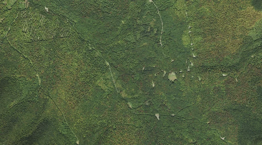
Hymmel Branch is a stream in Coos County, New Hampshire, located about 44.2 miles northwest of Chapman Inn in Bethel, Maine. It appears on the USGS Tinkerville topographic…
Pesky Brook is a stream in Coos County, New Hampshire, located about 44.2 miles north-northwest of Chapman Inn in Bethel, Maine. It appears on the USGS Mount Pisgah…
Blue Ridge is a ridge in Coos County, New Hampshire, located about 44.2 miles north-northwest of Chapman Inn in Bethel, Maine. It appears on the USGS Mount Pisgah…
West Branch Little Dead Diamond River is a stream in Coos County, New Hampshire, located about 44.2 miles north-northwest of Chapman Inn in Bethel, Maine. It appears on…
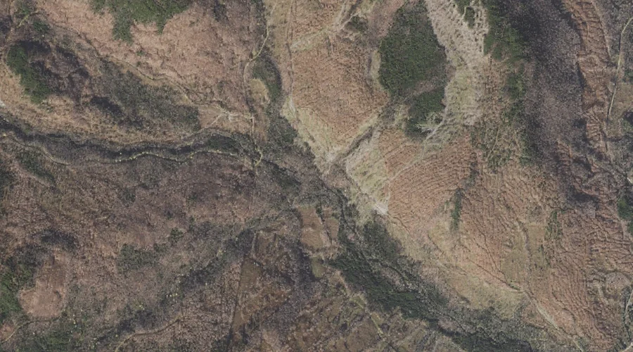
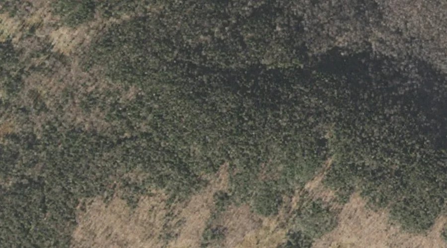
Tumble Dick Mountain is a summit in Coos County, New Hampshire, located about 44.2 miles northwest of Chapman Inn in Bethel, Maine. It appears on the USGS Diamond…
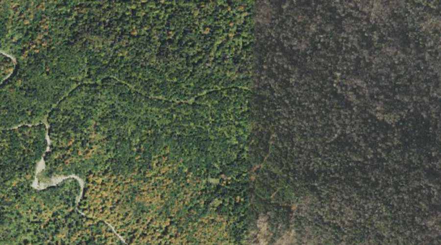
Sugar Hill is a summit in Coos County, New Hampshire, located about 44.1 miles northwest of Chapman Inn in Bethel, Maine. It appears on the USGS Diamond Pond…
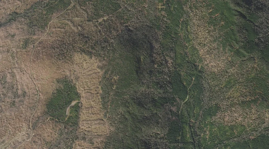
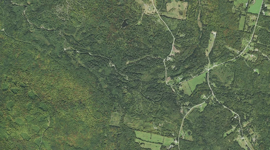
West Branch Simms Stream is a stream in Coos County, New Hampshire, located about 44.1 miles northwest of Chapman Inn in Bethel, Maine. It appears on the USGS…
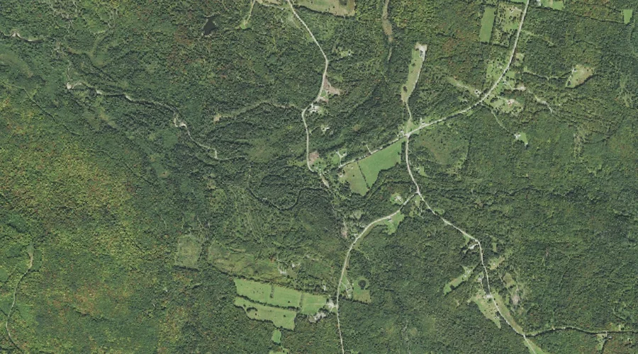
East Branch Simms Stream is a stream in Coos County, New Hampshire, located about 43.8 miles northwest of Chapman Inn in Bethel, Maine. It appears on the USGS…
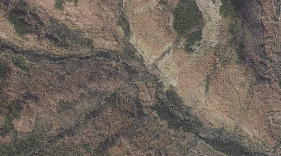
Johns River is a stream in Coos County, New Hampshire, located about 43.8 miles west of Chapman Inn in Bethel, Maine. It appears on the USGS Gilman topographic…
Goback Mountain is a summit in Coos County, New Hampshire, located about 43.7 miles west-northwest of Chapman Inn in Bethel, Maine. It appears on the USGS Stratford topographic…