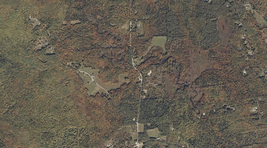
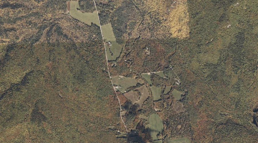
Slope Mountain is a summit in Carroll County, New Hampshire, located about 19.7 miles southwest of Chapman Inn in Bethel, Maine. It appears on the USGS Chatham topographic…
Watson Brook is a stream in Carroll County, New Hampshire, located about 19.4 miles southwest of Chapman Inn in Bethel, Maine. It appears on the USGS Chatham topographic…
McDonough Brook is a stream in Carroll County, New Hampshire, located about 19.4 miles southwest of Chapman Inn in Bethel, Maine. It appears on the USGS Chatham topographic…
Eastman Mountain is a summit in Carroll County, New Hampshire, located about 18.8 miles southwest of Chapman Inn in Bethel, Maine. It appears on the USGS Chatham topographic…
South Baldface is a summit in Carroll County, New Hampshire, located about 18.7 miles southwest of Chapman Inn in Bethel, Maine. It appears on the USGS Chatham topographic…
Spruce Knoll is a summit in Carroll County, New Hampshire, located about 17.8 miles southwest of Chapman Inn in Bethel, Maine. It appears on the USGS Chatham topographic…
Chandler Brook is a stream in Carroll County, New Hampshire, located about 16.4 miles southwest of Chapman Inn in Bethel, Maine. It appears on the USGS Chatham topographic…
Brickett Falls is a waterfall in Carroll County, New Hampshire, located about 16.1 miles southwest of Chapman Inn in Bethel, Maine. It appears on the USGS Wild River…
Mill Brook is a stream in Carroll County, New Hampshire, located about 15.6 miles southwest of Chapman Inn in Bethel, Maine. It appears on the USGS Chatham topographic…
Charles Ravine is a valley in Carroll County, New Hampshire, located about 15.9 miles southwest of Chapman Inn in Bethel, Maine. It appears on the USGS Chatham topographic…